REFINE


WHERE

  1. - (9)
  2. A-Ma Temple (Macao, China … (3)
  3. Aegean Sea (1)
  4. Africa (56)
  5. Africa, East (3)
  6. America (7)
  7. Amur River (China and Rus … (3)
  8. Andaman Sea (1)
  9. Angola (2)
  10. Anhui Sheng (China) (2)
  11. Antilles (1)
  12. Arabia (1)
  13. Arabian Peninsula (8)
  14. Arakan (1)
  15. Arctic regions (1)
  16. Argelia (1)
  17. Asia (126)
  18. Asia, Central (1)
  19. Astronomy (1)
  20. Atlantic Ocean (30)
  21. Australia (19)
  22. Azores (3)
  23. Baltic Sea (1)
  24. Banda Sea (1)
  25. Bay of Bengal (2)
  26. Beijing (China) (5)
  27. Bengal (India) (4)
  28. Black sea (4)
  29. Black Sea (1)
  30. Borneo (52)
  31. Borneo -- coasts (1)
  32. Bornero (1)
  33. Brazil (8)
  34. British Isles (3)
  35. Burma (1)
  36. California (1)
  37. Cambodia (51)
  38. Camões Grotto (Macao, Chi … (1)
  39. Canada (1)
  40. Cape of Good Hope (3)
  41. Cape Verde (2)
  42. Cape York Peninsula (Qld. … (1)
  43. Caroline Islands (1)
  44. Cascais (Portugal) (1)
  45. Caspian Sea (2)
  46. Celebes Sea (9)
  47. Central America (24)
  48. Central Asia (4)
  49. Ceylo (1)
  50. Ceylon (9)
  51. Chile (2)
  52. China (350)
  53. China Sea (23)
  54. China Sea -- coasts (8)
  55. China, Northwest (1)
  56. China, Southeast (1)
  57. Chittagong (Bangladesh) (2)
  58. Chittagong Division (Bang … (1)
  59. Chongqing (China) (1)
  60. Coloane Island (China) (7)
  61. Congo (2)
  62. Croatia (1)
  63. Cuba (2)
  64. Dangan Island (1)
  65. Denmark (1)
  66. Deshima (Nagasaki-shi, Ja … (1)
  67. Diu (India) (1)
  68. East Asia (24)
  69. East China Sea (6)
  70. East Indies (32)
  71. East indies (1)
  72. East Pacific Ocean (1)
  73. Eastern Africa (1)
  74. Eastern Hemisphere (30)
  75. Egypt (1)
  76. England (5)
  77. Europe (40)
  78. Flores Island (Indonesia) (1)
  79. Florida (1)
  80. France (7)
  81. Fujian Sheng (China) (32)
  82. Gansu Sheng (China) (2)
  83. Germany (4)
  84. Goa (3)
  85. Grand Canal (China) (7)
  86. Great Wall of China (Chin … (1)
  87. Greater Sunda Islands (3)
  88. Greece (2)
  89. Green Island (1)
  90. Greenland (1)
  91. Guangdong Sheng (China) (96)
  92. Guangxi Zhuangzu Zizhiqu … (5)
  93. Guangzhou Shi (China) (17)
  94. Guangzhou Zhujiang Huangp … (1)
  95. Guizhou Sheng (China) (3)
  96. Gulf of Thailand (1)
  97. Gulf of Tonkin (2)
  98. Hainan Island (1)
  99. Hainan Island (China) (20)
  100. Hainan Sheng (China) (97)
  101. Halmahera (Indonesia) (1)
  102. Hanoi (Vietnam) (1)
  103. Hebei Sheng (China) (4)
  104. Heilongjiang Sheng (China … (5)
  105. Henan Sheng (China) (3)
  106. Hong Kong (China) (12)
  107. Hong Kong Island (China) (1)
  108. Hubei Sheng (China) (3)
  109. Humen (1)
  110. Hunan Sheng (China) (3)
  111. Hungary (1)
  112. Hurmuz (Iran) (1)
  113. Iberian Peninsula (2)
  114. Iceland (2)
  115. India (49)
  116. India, North (1)
  117. Indian Ocean (31)
  118. Indochina (1)
  119. Indonesia (29)
  120. Inner Mongolia (China) (2)
  121. Iran (2)
  122. Ireland (5)
  123. Islands of the Pacific (1)
  124. Islands of the South Chin … (1)
  125. Italy (6)
  126. Japan (110)
  127. Java (Indonesia) (19)
  128. Java (Indonesia) -- coast … (2)
  129. Java Sea (1)
  130. Jeju Island (Korea) (3)
  131. Jiangsu Sheng (China) (1)
  132. Jiangxi Sheng (China) (5)
  133. Kamchatka Peninsula (Russ … (1)
  134. Kinmen County (Taiwan) (2)
  135. Korea (95)
  136. Korea Strait (2)
  137. Labrador (1)
  138. Lamma Island (Hong Kong) (1)
  139. Laos (7)
  140. Lapa Island (1)
  141. Leizhou Shi (China) (1)
  142. Liaodong Peninsula (China … (1)
  143. Liaoning Sheng (China) (3)
  144. Libia (1)
  145. Lisbon (Portugal) (4)
  146. Luzon (Philippines) (5)
  147. Macao (3)
  148. Macao (China) (202)
  149. Madagascar (6)
  150. Malacca (Malacca, Malays … (21)
  151. Malay Archipelago (11)
  152. Malaysia (34)
  153. Malaysia -- coasts (2)
  154. Maluku (Indonesia) (6)
  155. Manila Bay (Philippines) (2)
  156. Marrocos (1)
  157. Mauritius (1)
  158. Mediterranean Sea (27)
  159. Mekong River Watershed (2)
  160. Mexico (4)
  161. Middle East (3)
  162. Min River (Fujian Sheng, … (1)
  163. Mindanao Island (Philippi … (1)
  164. Mombasa (2)
  165. Mongolia (15)
  166. Mozambique (2)
  167. Myanmar (18)
  168. Nagasaki-ken (Japan) (9)
  169. Nanjing Shi (China) (1)
  170. New Guinea (1)
  171. New Zealand (1)
  172. Newfoundland and Labrador (1)
  173. Ningbo Shi (China) (2)
  174. Ningxia Huizu Zizhiqu (Ch … (1)
  175. North Africa (3)
  176. North America (34)
  177. North Asia (3)
  178. North Atlantic Ocean (1)
  179. North Korea (1)
  180. North of Africa (1)
  181. North Pacific Ocean (3)
  182. Northeastern Asia (6)
  183. Northeastern Europe (1)
  184. Northern Africa (2)
  185. Northern Europe (1)
  186. Northern Hemisphere (1)
  187. Northern sky (Astronomy) (2)
  188. Northwestern Africa (1)
  189. Nova Sofala (Mozambique) (2)
  190. Oceania (5)
  191. Oman (1)
  192. Orient (2)
  193. Osaka (Japan) (1)
  194. Pacific Area (1)
  195. Pacific Ocean (39)
  196. Pakistan (1)
  197. Papua New Guinea (25)
  198. Paracel Islands (68)
  199. Pazhou Island (Guangzhou … (2)
  200. Pearl River (China) (11)
  201. Pearl River Delta (China) (6)
  202. Pearl River Estuary (Chi … (27)
  203. Pegu (Burma) (1)
  204. Penghu County (Taiwan) (1)
  205. Persia (1)
  206. Persian Gulf (2)
  207. Peru (3)
  208. Philippine Sea (4)
  209. Philippines (94)
  210. Philippines -- coasts (1)
  211. Pingtan Xian (China) (3)
  212. Plata River (1)
  213. Portugal (17)
  214. Praia Grande (Macao, Chin … (6)
  215. Pʻeng-hu hsien (Taiwan) (13)
  216. Qinghai Sheng (China) (1)
  217. Red Sea (1)
  218. Russia (31)
  219. Russia (Federation) (1)
  220. Ryukyu Islands (1)
  221. Salween River (2)
  222. Scandinavia Peninsula (1)
  223. Scotland (2)
  224. Sea of Japan (2)
  225. Sea of Korea (1)
  226. Selenga River (Mongolia a … (1)
  227. Shaanxi Sheng (China) (5)
  228. Shandong Sheng (China) (4)
  229. Shangchuan Island (4)
  230. Shanghai (China) (2)
  231. Shanxi Sheng (China) (3)
  232. Shark Bay (W. A.) (1)
  233. Siberia (Russia) (3)
  234. Sichuan Sheng (China) (3)
  235. Siena (Italy) (1)
  236. Singapore (11)
  237. Socotra (Yemen) (1)
  238. Solar declination (1)
  239. Solomon Islands (1)
  240. Solor Archipelago (Indone … (1)
  241. Sonda Islands (1)
  242. South Africa (5)
  243. South America (43)
  244. South Asia (11)
  245. South Atlantic Ocean (1)
  246. South China Sea (40)
  247. Southeast Asia (80)
  248. Southeast China (1)
  249. Southern sky (Astronomy) (2)
  250. Spain (13)
  251. Sri Lanka (5)
  252. Strait of Malacca (8)
  253. Strait of Malacca -- coas … (2)
  254. Sulu Sea (3)
  255. Sumatra (Indonesia) (25)
  256. Taipa Island (China) (11)
  257. Taiwan (113)
  258. Taiwan --coasts (1)
  259. Taiwan Strait (1)
  260. Ternate (Indonesia) (1)
  261. Thailand (39)
  262. Thailand -- coasts (1)
  263. Tianjin (China) (2)
  264. Tibet Autonomous Region ( … (7)
  265. Tidore Island (Indonesia) (1)
  266. Tigris River (1)
  267. Timor Island (13)
  268. Tioman Island (Pahang, Ma … (1)
  269. Turkey (2)
  270. United States (2)
  271. Ussuri River Valley (Russ … (1)
  272. Velha Goa (India) (5)
  273. Vietnam (81)
  274. Vietnam -- coasts (7)
  275. Wales (1)
  276. Wanshan Archipelago (2)
  277. West Africa (3)
  278. West Indies (1)
  279. Western Europe (4)
  280. Western Hemisphere (4)
  281. World (185)
  282. Xiamen Region (Fujian She … (2)
  283. Xiamen Shi (China) (4)
  284. Xinjiang Uygur Zizhiqu (C … (2)
  285. Yangtze River Watershed ( … (2)
  286. Yellow River (China) (3)
  287. Yellow Sea (4)
  288. Yunnan Sheng (China) (5)
  289. Zhejiang Sheng (China) (11)
  290. Zhongshan Shi (China) (1)
  291. Zhoushan Archipelago (Chi … (6)
  292. Zhuhai Shi (China) (1)
  293. Zodiac (2)
  294. 佩玉祠 (5)
  295. 共樂園 (37)
  296. 唐家三廟 (33)
  297. 唐家供銷社 (7)
  298. 唐家古圍牆 (1)
  299. 唐家古鎮街拍 (82)
  300. 唐家小學 (6)
  301. 唐家市場 (7)
  302. 唐家文化中心 (3)
  303. 唐家村口及全景图 (20)
  304. 唐家灣夜景 (18)
  305. 唐家灣日出 (30)
  306. 唐家環 (10)
  307. 唐紹儀故居 (16)
  308. 學鏡堂 (8)
  309. 平里廟 (11)
  310. 廣達祠 (5)
  311. 憲堯唐公祠 (4)
  312. 望慈山房 (10)
  313. 梁氏大宗祠 (16)
  314. 澳門嘉模堂區 (490)
  315. 澳門大堂區 (866)
  316. 澳門望德堂區 (118)
  317. 澳門港珠澳大橋 (29)
  318. 澳門聖方濟各堂區 (247)
  319. 澳門花地瑪堂區 (87)
  320. 澳門花王堂區 (560)
  321. 澳門路氹填海區 (172)
  322. 澳門風順堂區 (131)
  323. 牛王廟 (3)
  324. 玉我祠 (2)
  325. 珠海橫琴新區 (58)
  326. 珠海香洲區 (13)
  327. 瑞芝祠 (8)
  328. 翠屏唐公祠 (3)
  329. 花堂廟 (5)
  330. 鳳台祠 (4)
Less
REFINE 

Search Results:

2,101-2,150 of 5,003
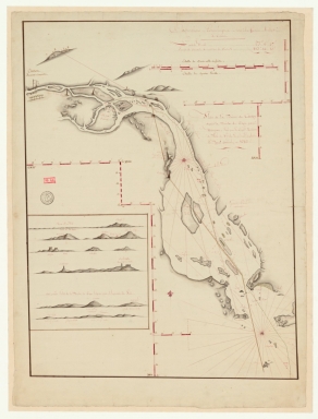
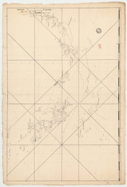
Plan de la riviere de Canton depuis la bouche du Tigre, jusqu'à Wampou
3687800354126A
Plan de la riviere de C...
Huddart, Joseph, 1741-1...
Manuscripts
 
Barcode
3687800354126A
Title
Plan de la riviere de Canton depuis la bouche du Tigre, jusqu'à Wampou
Contributor
Huddart, Joseph, 1741-1816, cartographer
Type
Manuscripts
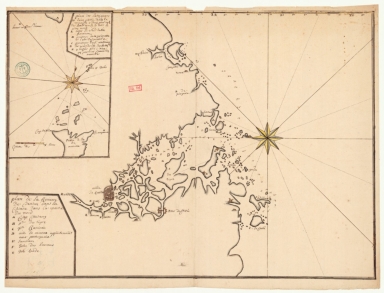
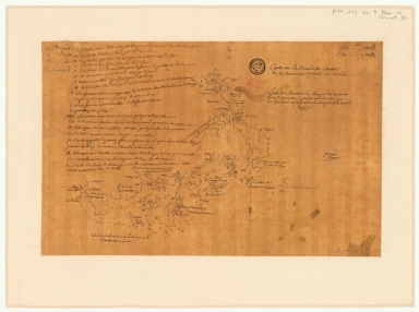
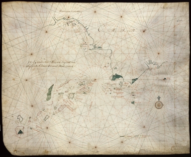
Plan de la riviere de Canton, Macao, et autres isles circonvoisines
36878003541248
Plan de la riviere de C...
Liébaut, 16---17--, ca...
Manuscripts
 
Barcode
36878003541248
Title
Plan de la riviere de Canton, Macao, et autres isles circonvoisines
Contributor
Liébaut, 16---17--, catographer
Type
Manuscripts
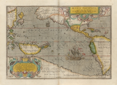
A very new description of the peaceful sea, commonly called South Sea with the regions lying around it, and its islands, scattered everywhere.
6878003015749
A very new description ...
[Ortelius, Abraham, 152...
Printed
 
Barcode
6878003015749
Title
A very new description of the peaceful sea, commonly called South Sea with the regions lying around it, and its islands, scattered everywhere.
Contributor
[Ortelius, Abraham, 1527-1598, author, Plantijnsche Drukkerij, printer, Rockox, Nicolaas, 1560-1640, dedicatee]
Type
Printed
[Asia]
3687800239892M
[Asia]
Albernaz, João Teixeira...
Manuscripts
 
Barcode
3687800239892M
Title
[Asia]
Contributor
Albernaz, João Teixeira, fl. 1602-1649, cartographer
Type
Manuscripts
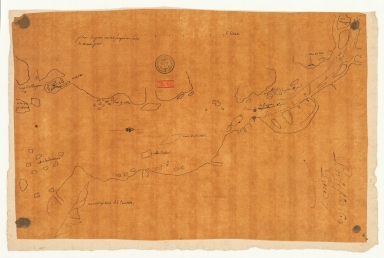
Riviere de Canton.
36878003541327
Riviere de Canton.
Manuscripts
 
Barcode
36878003541327
Title
Riviere de Canton.
Type
Manuscripts
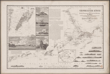
Die Chinesische Küste der Provinz Kuang-tung, zu beiden Seiten des Meridians von Macao
4687820501249
Die Chinesische Küste d...
[Herzberg, H., fl. 18--...
Printed
 
Barcode
4687820501249
Title
Die Chinesische Küste der Provinz Kuang-tung, zu beiden Seiten des Meridians von Macao
Contributor
[Herzberg, H., fl. 18--, cartographer, Justus Perthes (Firm : Gotha, Germany), publisher]
Type
Printed
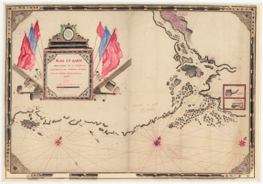
Plan et carte particuliere de la riviere de Cantong et ses environs et depuis l'isle de Sancien jusque a celle de Makao
36878003541204
Plan et carte particuli...
La Grange-Chancel, Loui...
Manuscripts
 
Barcode
36878003541204
Title
Plan et carte particuliere de la riviere de Cantong et ses environs et depuis l'isle de Sancien jusque a celle de Makao
Contributor
La Grange-Chancel, Louis de, 1678-1747, cartographer
Type
Manuscripts
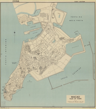
Macao : plan of town
36878003542126
Macao : plan of town
[Great Britain. Inter-s...
Printed
 
Barcode
36878003542126
Title
Macao : plan of town
Contributor
[Great Britain. Inter-service Topographical Department, author, Edgell, John Augustine, Sir, 1880-1962, editor, Great Britain. War Office, publisher]
Type
Printed
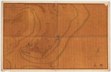
Map of the city of Macau and its surroundings to the Portuguese
36878003542115
Map of the city of Maca...
[Lafitte de Brassier, L...
Manuscripts
 
Barcode
36878003542115
Title
Map of the city of Macau and its surroundings to the Portuguese
Contributor
[Lafitte de Brassier, Louis François Grégoire, 1745-ca. 17--, cartographer, Fleurieu, C. P. Claret (Charles Pierre Claret), comte de, 1738-1810, autographer]
Type
Manuscripts
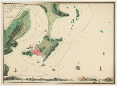
Plan de la ville de Macao, et de ses environs aux Portugais
3687800354209C
Plan de la ville de Mac...
Lafitte de Brassier, Lo...
Manuscripts
 
Barcode
3687800354209C
Title
Plan de la ville de Macao, et de ses environs aux Portugais
Contributor
Lafitte de Brassier, Louis François Grégoire, 1745-17--, cartographer
Type
Manuscripts
Carte plate d'une partie de la coste de Chine, depuis les isles Pulo-Taya au nord est de l'isle de Haynam, et toutes les isles tant de la la partie de l'ouest que celles de l'e[st] servant de reconnoissance pour l'entrée de la rivière de Canton
4687820501101
Carte plate d'une parti...
Dauge, Philippe
Manuscripts
 
Barcode
4687820501101
Title
Carte plate d'une partie de la coste de Chine, depuis les isles Pulo-Taya au nord est de l'isle de Haynam, et toutes les isles tant de la la partie de l'ouest que celles de l'e[st] servant de reconnoissance pour l'entrée de la rivière de Canton
Contributor
Dauge, Philippe
Type
Manuscripts
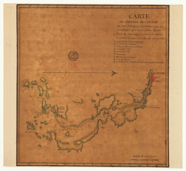
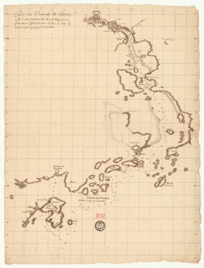
Carte de l'entrée de Canton où sont marquez exactement tous les mouillages, que nous fîmes depuis l'isle de Sanciam, les bancs, les roches et autres dangers que j'ay pu reconnoitre
4687820501200
Carte de l'entrée de Ca...
Anonymous
Manuscripts
 
Barcode
4687820501200
Title
Carte de l'entrée de Canton où sont marquez exactement tous les mouillages, que nous fîmes depuis l'isle de Sanciam, les bancs, les roches et autres dangers que j'ay pu reconnoitre
Contributor
Anonymous
Type
Manuscripts
Plan de la rivière de Canton dans la Chinne dans la partie du nord
4687820501208
Plan de la rivière de C...
Anonymous
Manuscripts
 
Barcode
4687820501208
Title
Plan de la rivière de Canton dans la Chinne dans la partie du nord
Contributor
Anonymous
Type
Manuscripts
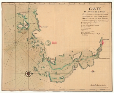
Carte de l'entrée de Canton où sont marquez exactement tous les mouillages, que nous fismes depuis l'isle de Sanciam, les bancs, les roches et autres dangers que j'ay pu reconnoître
4687820501205
Carte de l'entrée de Ca...
Anonymous
Manuscripts
 
Barcode
4687820501205
Title
Carte de l'entrée de Canton où sont marquez exactement tous les mouillages, que nous fismes depuis l'isle de Sanciam, les bancs, les roches et autres dangers que j'ay pu reconnoître
Contributor
Anonymous
Type
Manuscripts
Carte de la rivière de Canton et de ses environs du costé du sud est [corrigé :] ouest
4687820501199
Carte de la rivière de ...
Manuscripts
 
Barcode
4687820501199
Title
Carte de la rivière de Canton et de ses environs du costé du sud est [corrigé :] ouest
Type
Manuscripts
Carte de la rivière de Canton et des îles
4687820501201
Carte de la rivière de ...
Anonymous
Manuscripts
 
Barcode
4687820501201
Title
Carte de la rivière de Canton et des îles
Contributor
Anonymous
Type
Manuscripts
Carte de la rivière de Canton et ses environs du costé de l'ouest
4687820501202
Carte de la rivière de ...
Anonymous
Manuscripts
 
Barcode
4687820501202
Title
Carte de la rivière de Canton et ses environs du costé de l'ouest
Contributor
Anonymous
Type
Manuscripts
Carte de l'entrée de Canton sur la côte de la Chine
4687820501206
Carte de l'entrée de Ca...
Anonymous
Manuscripts
 
Barcode
4687820501206
Title
Carte de l'entrée de Canton sur la côte de la Chine
Contributor
Anonymous
Type
Manuscripts
從澳門到黃埔的地圖
4687820501003
從澳門到黃埔的地圖
Anonymous
Manuscripts
 
Barcode
4687820501003
Title
從澳門到黃埔的地圖
Contributor
Anonymous
Type
Manuscripts
De Eӯlanden van Macaoủ, loopende van, t’Eӯlandt S.t Jủan totaande Stadt Canton
4687820501072
De Eӯlanden van Macaoủ,...
De Graaf, Isaac, 1667-1...
Manuscripts
 
Barcode
4687820501072
Title
De Eӯlanden van Macaoủ, loopende van, t’Eӯlandt S.t Jủan totaande Stadt Canton
Contributor
De Graaf, Isaac, 1667-1743
Type
Manuscripts
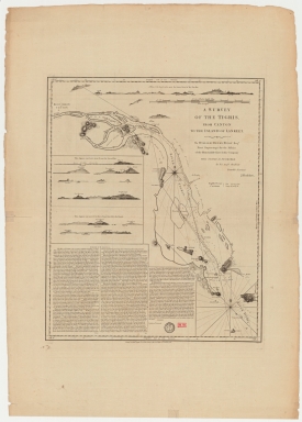
A survey of the Tigris from Canton to the island of Lankeet
4687820501102
A survey of the Tigris ...
Huddart, Joseph, 1741-1...
Printed
 
Barcode
4687820501102
Title
A survey of the Tigris from Canton to the island of Lankeet
Contributor
Huddart, Joseph, 1741-1816
Type
Printed
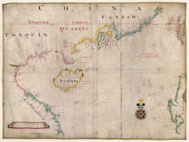
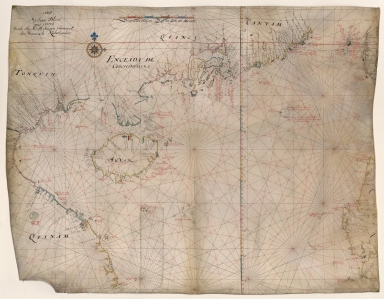
[Tonquin, Quancy, Aynam]
4687820500576
[Tonquin, Quancy, Aynam...
[Hacke, William, fl. 16...
Manuscripts
 
Barcode
4687820500576
Title
[Tonquin, Quancy, Aynam]
Contributor
[Hacke, William, fl. 16--, cartographer, Sharpe, Bartholomew, fl. 1679-1682, author]
Type
Manuscripts
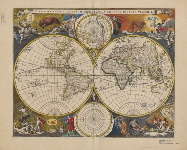
Novissima totius terrarum orbis tabula
4687820500020
Novissima totius terrar...
Visscher, Nicolaes, 164...
Printed
 
Barcode
4687820500020
Title
Novissima totius terrarum orbis tabula
Contributor
Visscher, Nicolaes, 1649-1702, author, printer
Type
Printed
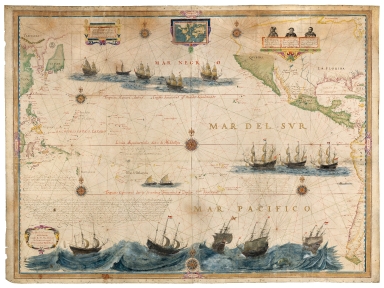
Mar del Sur. Mar Pacifico
36878003542339
Mar del Sur. Mar Pacifi...
Gerritsz, Hessel, ca. 1...
Manuscripts
 
Barcode
36878003542339
Title
Mar del Sur. Mar Pacifico
Contributor
Gerritsz, Hessel, ca. 1581-1632, cartographer
Type
Manuscripts
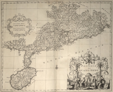
Province de Quang-Tong
4687820500524
Province de Quang-Tong
Anville, Jean Baptiste ...
Printed
 
Barcode
4687820500524
Title
Province de Quang-Tong
Contributor
Anville, Jean Baptiste Bourguignon d', 1697-1782, cartographer
Type
Printed
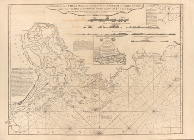
A chart of the China Sea from the Island of Sanciam to Pedra Branca with the course of the River Tigris from Canton to Macao
687800354127B
A chart of the China Se...
[Après de Mannevillette...
Printed
 
Barcode
687800354127B
Title
A chart of the China Sea from the Island of Sanciam to Pedra Branca with the course of the River Tigris from Canton to Macao
Contributor
[Après de Mannevillette, Jean-Baptiste-Nicolas-Denis d', 1707-1780, cartographer, Larkins, John Pascal, 17---1794, author, bibliographic antecedent, Anson, George Anson, baron, 1697-1762, author, Huddart, Joseph, 1741-1816, bibliographic antecedent]
Type
Printed
Carte de côte de la Chine depuis les 22.e jusqu'au 25.e 30.m de latitude nord comprenant la partie de Ouest de l'Isle Formose
3687800354261A
Carte de côte de la Chi...
Manuscripts
 
Barcode
3687800354261A
Title
Carte de côte de la Chine depuis les 22.e jusqu'au 25.e 30.m de latitude nord comprenant la partie de Ouest de l'Isle Formose
Type
Manuscripts
Kouang-tcheou-fou.
4687820500952
Kouang-tcheou-fou.
Klaproth, Julius von, 1...
Manuscripts
 
Barcode
4687820500952
Title
Kouang-tcheou-fou.
Contributor
Klaproth, Julius von, 1783-1835, cartographer
Type
Manuscripts
[Chart of the Sea of Canton to Cambodia and the Philippines]
3687800354567J
[Chart of the Sea of Ca...
Manuscripts
 
Barcode
3687800354567J
Title
[Chart of the Sea of Canton to Cambodia and the Philippines]
Type
Manuscripts
Map of the coasts of China and neighboring islands with some additions
3687800354509F
Map of the coasts of Ch...
Anville, Jean Baptiste ...
Printed
 
Barcode
3687800354509F
Title
Map of the coasts of China and neighboring islands with some additions
Contributor
Anville, Jean Baptiste Bourguignon d', 1697-1782, cartographer
Type
Printed
Map of the coasts of China and neighboring islands with some additions
3687800354508E
Map of the coasts of Ch...
Anville, Jean Baptiste ...
Manuscripts
 
Barcode
3687800354508E
Title
Map of the coasts of China and neighboring islands with some additions
Contributor
Anville, Jean Baptiste Bourguignon d', 1697-1782, cartographer
Type
Manuscripts
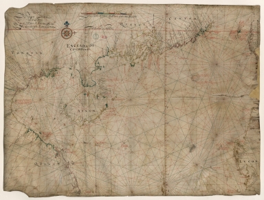
Dutch nautical chart of the 18th century, including the coasts of Annam, Tonkin, China, Hainan Island and part of Luzon
3687800317478J
Dutch nautical chart of...
Saffroy, Amand, 1844-19...
Manuscripts
 
Barcode
3687800317478J
Title
Dutch nautical chart of the 18th century, including the coasts of Annam, Tonkin, China, Hainan Island and part of Luzon
Contributor
Saffroy, Amand, 1844-1905, former owner
Type
Manuscripts
Map of the South China Sea
3687800354255D
Map of the South China ...
Blaeu, Joan, 1596-1673,...
Manuscripts
 
Barcode
3687800354255D
Title
Map of the South China Sea
Contributor
Blaeu, Joan, 1596-1673, cartographer
Type
Manuscripts
Gulf of Tonkin to Luzon and Formosa
3687800354308C
Gulf of Tonkin to Luzon...
Thornton, John, 1641-17...
Manuscripts
 
Barcode
3687800354308C
Title
Gulf of Tonkin to Luzon and Formosa
Contributor
Thornton, John, 1641-1708, hydrographer
Type
Manuscripts
Chart of the China Sea
3687800354564G
Chart of the China Sea
Thornton, John, 1641-17...
Manuscripts
 
Barcode
3687800354564G
Title
Chart of the China Sea
Contributor
Thornton, John, 1641-1708, cartographer
Type
Manuscripts
Dutch Chart of the China Sea
3687800317483F
Dutch Chart of the Chin...
Manuscripts
 
Barcode
3687800317483F
Title
Dutch Chart of the China Sea
Type
Manuscripts
Map of the Chinese Sea and Coast, from Drioens Strait to Nanquin, and the Islands from Borneo to Japan and Ladrones
3687800354561D
Map of the Chinese Sea ...
Blaeu, Joan, 1650-1712,...
Manuscripts
 
Barcode
3687800354561D
Title
Map of the Chinese Sea and Coast, from Drioens Strait to Nanquin, and the Islands from Borneo to Japan and Ladrones
Contributor
Blaeu, Joan, 1650-1712, cartographer
Type
Manuscripts
Gulf of Tonkin
3687800354228D
Gulf of Tonkin
Blaeu, Joan, 1596-1673,...
Manuscripts
 
Barcode
3687800354228D
Title
Gulf of Tonkin
Contributor
Blaeu, Joan, 1596-1673, cartographer
Type
Manuscripts
Gulf of Tonkin
3687800354566I
Gulf of Tonkin
Blaeu, Joan, 1650-1712,...
Manuscripts
 
Barcode
3687800354566I
Title
Gulf of Tonkin
Contributor
Blaeu, Joan, 1650-1712, cartographer
Type
Manuscripts
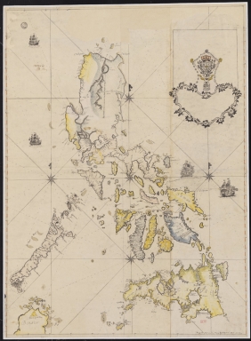
Filipinas
4687820501106
Filipinas
Bagay, Nicolás de la Cr...
Manuscripts
 
Barcode
4687820501106
Title
Filipinas
Contributor
Bagay, Nicolás de la Cruz, 1701-1771, cartographer
Type
Manuscripts
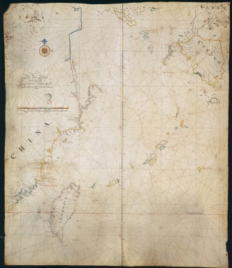
[Map of the southeast coast of China]
3687800354499N
[Map of the southeast c...
Manuscripts
 
Barcode
3687800354499N
Title
[Map of the southeast coast of China]
Type
Manuscripts
China Sea
3687800354560C
China Sea
Blaeu, Joan, 1596-1673,...
Manuscripts
 
Barcode
3687800354560C
Title
China Sea
Contributor
Blaeu, Joan, 1596-1673, cartographer
Type
Manuscripts
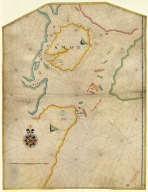
Island of Amoy
3687800354571E
Island of Amoy
Thornton, John, 1641-17...
Manuscripts
 
Barcode
3687800354571E
Title
Island of Amoy
Contributor
Thornton, John, 1641-1708, cartographer
Type
Manuscripts
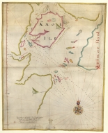
English chart of the island of Amoy
3687800354570D
English chart of the is...
Thornton, John, 1641-17...
Manuscripts
 
Barcode
3687800354570D
Title
English chart of the island of Amoy
Contributor
Thornton, John, 1641-1708, cartographer
Type
Manuscripts
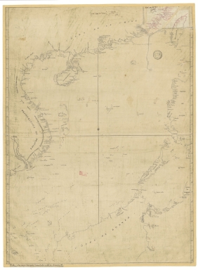
Southern part of the China Se
3687800354262B
Southern part of the Ch...
Manuscripts
 
Barcode
3687800354262B
Title
Southern part of the China Se
Type
Manuscripts
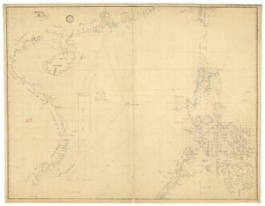
Chart of the seas of Canton to Cambodia and the Philippines
3687800354259H
Chart of the seas of Ca...
Manuscripts
 
Barcode
3687800354259H
Title
Chart of the seas of Canton to Cambodia and the Philippines
Type
Manuscripts
A chart of the China Sea : inscribed to Mons.r d'Aprés de Mannevillette the ingenious author of the Neptune Oriental, as a tribute due to his labours for the benefit of navigation, and in acknowledgment of his many signal favours to A. Dalrymple.
4687820501175
A chart of the China Se...
[Dalrymple, Alexander, ...
Printed
 
Barcode
4687820501175
Title
A chart of the China Sea : inscribed to Mons.r d'Aprés de Mannevillette the ingenious author of the Neptune Oriental, as a tribute due to his labours for the benefit of navigation, and in acknowledgment of his many signal favours to A. Dalrymple.
Contributor
[Dalrymple, Alexander, 1737-1808, hydrographer, Henry, B., fl. 1770-1775, engraver, Whitchurch, William, fl. 18th century, engraver, Lane, Bartholomew, fl. 19th century, engraver, Après de Mannevillette, Jean-Baptiste-Nicolas-Denis d', 1707-1780, dedicatee]
Type
Printed
Mappa da barra de Macáo
36878003712158
Mappa da barra de Macáo
Rendo, Custódio de Azev...
Printed
 
Barcode
36878003712158
Title
Mappa da barra de Macáo
Contributor
Rendo, Custódio de Azevedo, cartographer
Type
Printed
[Carte de la ville et de la rade de Macao]
3687800371235A
[Carte de la ville et d...
Manuscripts
 
Barcode
3687800371235A
Title
[Carte de la ville et de la rade de Macao]
Type
Manuscripts
To the Society of Managing Owners of the Ships in the English East India Company's Service, This Chart of the China Sea, Including the Philippina Molluca and Banda Islands, Shewing al the same time all the Tracks into the Pacific Ocean, commonly known by the name of the Eastern Passage to China
36878003222312
To the Society of Manag...
[Robertson, George, 174...
Printed
 
Barcode
36878003222312
Title
To the Society of Managing Owners of the Ships in the English East India Company's Service, This Chart of the China Sea, Including the Philippina Molluca and Banda Islands, Shewing al the same time all the Tracks into the Pacific Ocean, commonly known by the name of the Eastern Passage to China
Contributor
[Robertson, George, 1748-1788, cartographer, Harmer, Thomas, fl. 1784-1814, engraver]
Type
Printed
2,101-2,150 of 5,003