WHERE
|
Barcode
3687800354126A
Title
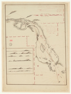
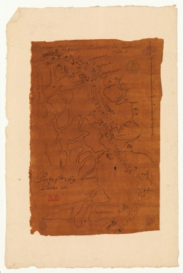
Plan de la riviere de Canton depuis la bouche du Tigre, jusqu'à Wampou
Contributor
Huddart, Joseph, 1741-1816, cartographer
Type
Manuscripts
Barcode
36878003541248
Title
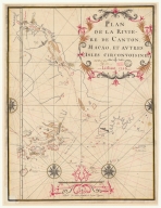
Plan de la riviere de Canton, Macao, et autres isles circonvoisines
Contributor
Liébaut, 16---17--, catographer
Type
Manuscripts
Barcode
6878003015749
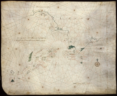
Title
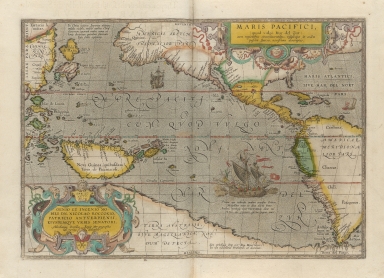
A very new description of the peaceful sea, commonly called South Sea with the regions lying around it, and its islands, scattered everywhere.
Contributor
[Ortelius, Abraham, 1527-1598, author, Plantijnsche Drukkerij, printer, Rockox, Nicolaas, 1560-1640, dedicatee]
Type
Printed
Barcode
3687800239892M
Title
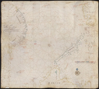
[Asia]
Contributor
Albernaz, João Teixeira, fl. 1602-1649, cartographer
Type
Manuscripts
Barcode
36878003541327
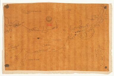
Title
Riviere de Canton.
Type
Manuscripts
Barcode
4687820501249
Title
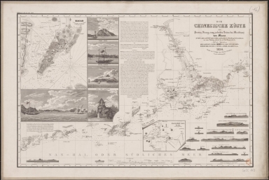
Die Chinesische Küste der Provinz Kuang-tung, zu beiden Seiten des Meridians von Macao
Contributor
[Herzberg, H., fl. 18--, cartographer, Justus Perthes (Firm : Gotha, Germany), publisher]
Type
Printed
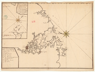
Barcode
36878003541204
Title
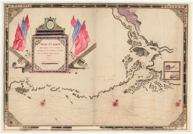
Plan et carte particuliere de la riviere de Cantong et ses environs et depuis l'isle de Sancien jusque a celle de Makao
Contributor
La Grange-Chancel, Louis de, 1678-1747, cartographer
Type
Manuscripts
Barcode
36878003542126
Title
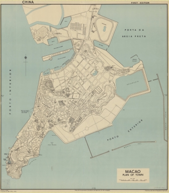
Macao : plan of town
Contributor
[Great Britain. Inter-service Topographical Department, author, Edgell, John Augustine, Sir, 1880-1962, editor, Great Britain. War Office, publisher]
Type
Printed
Barcode
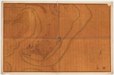
36878003542115
Title
Map of the city of Macau and its surroundings to the Portuguese
Contributor
[Lafitte de Brassier, Louis François Grégoire, 1745-ca. 17--, cartographer, Fleurieu, C. P. Claret (Charles Pierre Claret), comte de, 1738-1810, autographer]
Type
Manuscripts
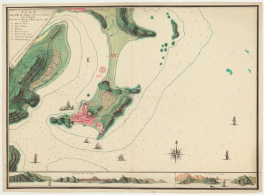
Barcode
3687800354209C
Title
Plan de la ville de Macao, et de ses environs aux Portugais
Contributor
Lafitte de Brassier, Louis François Grégoire, 1745-17--, cartographer
Type
Manuscripts
Barcode
4687820501101
Title
Carte plate d'une partie de la coste de Chine, depuis les isles Pulo-Taya au nord est de l'isle de Haynam, et toutes les isles tant de la la partie de l'ouest que celles de l'e[st] servant de reconnoissance pour l'entrée de la rivière de Canton
Contributor
Dauge, Philippe
Type
Manuscripts
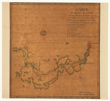
Barcode
4687820501200
Title
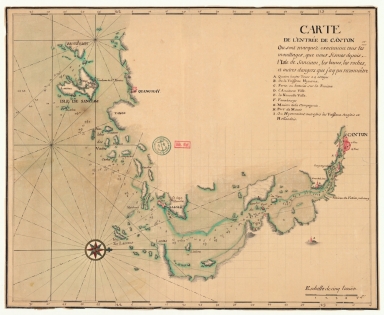
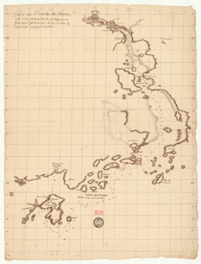
Carte de l'entrée de Canton où sont marquez exactement tous les mouillages, que nous fîmes depuis l'isle de Sanciam, les bancs, les roches et autres dangers que j'ay pu reconnoitre
Contributor
Anonymous
Type
Manuscripts
Barcode
4687820501208
Title
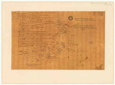
Plan de la rivière de Canton dans la Chinne dans la partie du nord
Contributor
Anonymous
Type
Manuscripts
Barcode
4687820501205
Title
Carte de l'entrée de Canton où sont marquez exactement tous les mouillages, que nous fismes depuis l'isle de Sanciam, les bancs, les roches et autres dangers que j'ay pu reconnoître
Contributor
Anonymous
Type
Manuscripts
Barcode
4687820501199
Title
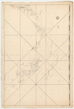
Carte de la rivière de Canton et de ses environs du costé du sud est [corrigé :] ouest
Type
Manuscripts
Barcode
4687820501201
Title
Carte de la rivière de Canton et des îles
Contributor
Anonymous
Type
Manuscripts
Barcode
4687820501202
Title
Carte de la rivière de Canton et ses environs du costé de l'ouest
Contributor
Anonymous
Type
Manuscripts
Barcode
4687820501206
Title
Carte de l'entrée de Canton sur la côte de la Chine
Contributor
Anonymous
Type
Manuscripts
Barcode
4687820501003
Title
從澳門到黃埔的地圖
Contributor
Anonymous
Type
Manuscripts
Barcode
4687820501072
Title
De Eӯlanden van Macaoủ, loopende van, t’Eӯlandt S.t Jủan totaande Stadt Canton
Contributor
De Graaf, Isaac, 1667-1743
Type
Manuscripts
Barcode
4687820501102
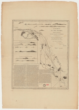
Title
A survey of the Tigris from Canton to the island of Lankeet
Contributor
Huddart, Joseph, 1741-1816
Type
Printed
Barcode
4687820500576
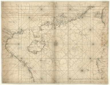
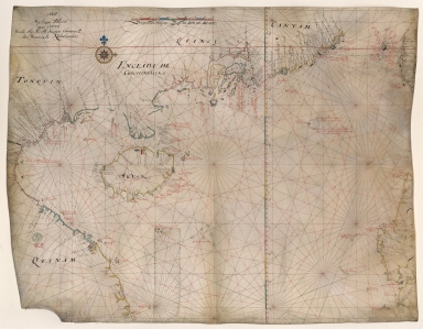
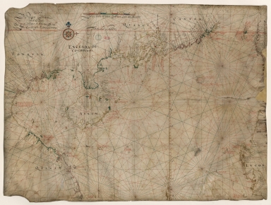
Title
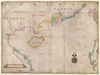
[Tonquin, Quancy, Aynam]
Contributor
[Hacke, William, fl. 16--, cartographer, Sharpe, Bartholomew, fl. 1679-1682, author]
Type
Manuscripts
Barcode
4687820500020
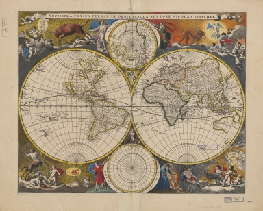
Title
Novissima totius terrarum orbis tabula
Contributor
Visscher, Nicolaes, 1649-1702, author, printer
Type
Printed
Barcode
36878003542339
Title
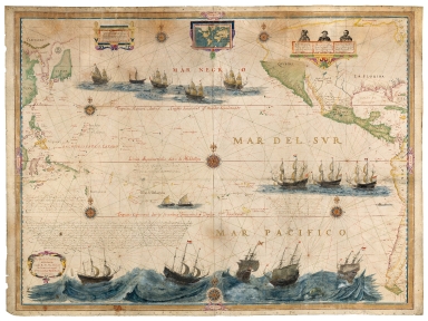
Mar del Sur. Mar Pacifico
Contributor
Gerritsz, Hessel, ca. 1581-1632, cartographer
Type
Manuscripts
Barcode
4687820500524
Title
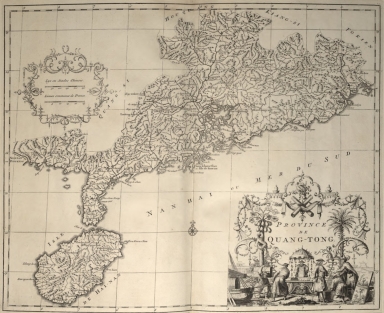
Province de Quang-Tong
Contributor
Anville, Jean Baptiste Bourguignon d', 1697-1782, cartographer
Type
Printed
Barcode
687800354127B
Title
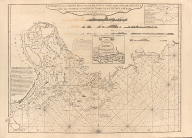
A chart of the China Sea from the Island of Sanciam to Pedra Branca with the course of the River Tigris from Canton to Macao
Contributor
[Après de Mannevillette, Jean-Baptiste-Nicolas-Denis d', 1707-1780, cartographer, Larkins, John Pascal, 17---1794, author, bibliographic antecedent, Anson, George Anson, baron, 1697-1762, author, Huddart, Joseph, 1741-1816, bibliographic antecedent]
Type
Printed
Barcode
3687800354261A
Title
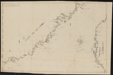
Carte de côte de la Chine depuis les 22.e jusqu'au 25.e 30.m de latitude nord comprenant la partie de Ouest de l'Isle Formose
Type
Manuscripts
Barcode
4687820500952
Title
Kouang-tcheou-fou.
Contributor
Klaproth, Julius von, 1783-1835, cartographer
Type
Manuscripts
Barcode
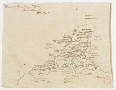
3687800354567J
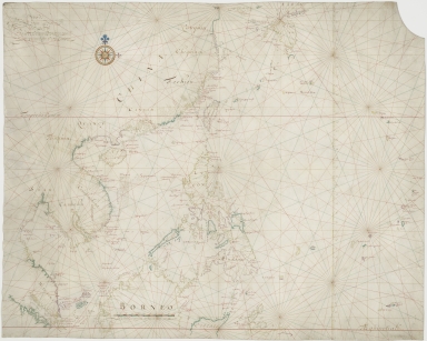
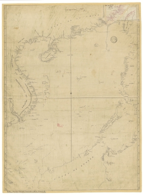
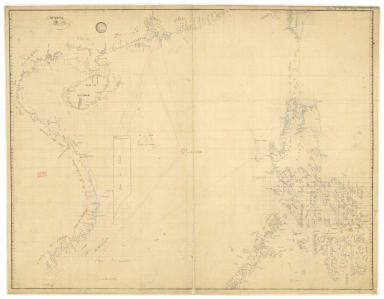
Title
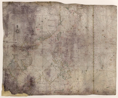
[Chart of the Sea of Canton to Cambodia and the Philippines]
Type
Manuscripts
Barcode
3687800354509F
Title
Map of the coasts of China and neighboring islands with some additions
Contributor
Anville, Jean Baptiste Bourguignon d', 1697-1782, cartographer
Type
Printed
Barcode
3687800354508E
Title
Map of the coasts of China and neighboring islands with some additions
Contributor
Anville, Jean Baptiste Bourguignon d', 1697-1782, cartographer
Type
Manuscripts
Barcode
3687800317478J
Title
Dutch nautical chart of the 18th century, including the coasts of Annam, Tonkin, China, Hainan Island and part of Luzon
Contributor
Saffroy, Amand, 1844-1905, former owner
Type
Manuscripts
Barcode
3687800354255D
Title
Map of the South China Sea
Contributor
Blaeu, Joan, 1596-1673, cartographer
Type
Manuscripts
Barcode
3687800354308C
Title
Gulf of Tonkin to Luzon and Formosa
Contributor
Thornton, John, 1641-1708, hydrographer
Type
Manuscripts
Barcode
3687800354564G
Title
Chart of the China Sea
Contributor
Thornton, John, 1641-1708, cartographer
Type
Manuscripts
Barcode
3687800317483F
Title
Dutch Chart of the China Sea
Type
Manuscripts
Barcode
3687800354561D
Title
Map of the Chinese Sea and Coast, from Drioens Strait to Nanquin, and the Islands from Borneo to Japan and Ladrones
Contributor
Blaeu, Joan, 1650-1712, cartographer
Type
Manuscripts
Barcode
3687800354228D
Title
Gulf of Tonkin
Contributor
Blaeu, Joan, 1596-1673, cartographer
Type
Manuscripts
Barcode
3687800354566I
Title
Gulf of Tonkin
Contributor
Blaeu, Joan, 1650-1712, cartographer
Type
Manuscripts
Barcode
4687820501106
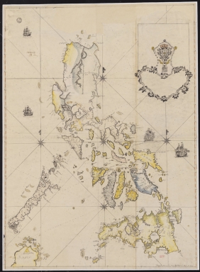
Title
Filipinas
Contributor
Bagay, Nicolás de la Cruz, 1701-1771, cartographer
Type
Manuscripts
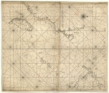
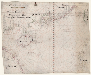
Barcode
3687800354499N
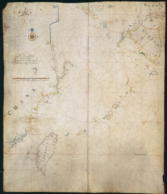
Title
[Map of the southeast coast of China]
Type
Manuscripts
Barcode
3687800354560C
Title
China Sea
Contributor
Blaeu, Joan, 1596-1673, cartographer
Type
Manuscripts
Barcode
3687800354571E
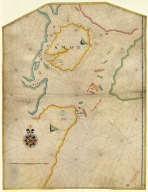
Title
Island of Amoy
Contributor
Thornton, John, 1641-1708, cartographer
Type
Manuscripts
Barcode
3687800354570D
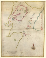
Title
English chart of the island of Amoy
Contributor
Thornton, John, 1641-1708, cartographer
Type
Manuscripts
Barcode
3687800354262B
Title
Southern part of the China Se
Type
Manuscripts
Barcode
3687800354259H
Title
Chart of the seas of Canton to Cambodia and the Philippines
Type
Manuscripts
Barcode
4687820501175
Title
A chart of the China Sea : inscribed to Mons.r d'Aprés de Mannevillette the ingenious author of the Neptune Oriental, as a tribute due to his labours for the benefit of navigation, and in acknowledgment of his many signal favours to A. Dalrymple.
Contributor
[Dalrymple, Alexander, 1737-1808, hydrographer, Henry, B., fl. 1770-1775, engraver, Whitchurch, William, fl. 18th century, engraver, Lane, Bartholomew, fl. 19th century, engraver, Après de Mannevillette, Jean-Baptiste-Nicolas-Denis d', 1707-1780, dedicatee]
Type
Printed
Barcode
36878003712158
Title
Mappa da barra de Macáo
Contributor
Rendo, Custódio de Azevedo, cartographer
Type
Printed
Barcode
3687800371235A
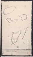
Title
[Carte de la ville et de la rade de Macao]
Type
Manuscripts
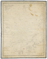
Barcode
36878003222312
Title
To the Society of Managing Owners of the Ships in the English East India Company's Service, This Chart of the China Sea, Including the Philippina Molluca and Banda Islands, Shewing al the same time all the Tracks into the Pacific Ocean, commonly known by the name of the Eastern Passage to China
Contributor
[Robertson, George, 1748-1788, cartographer, Harmer, Thomas, fl. 1784-1814, engraver]
Type
Printed
|
![[Asia]](http://lunamap.must.edu.mo:80/MediaManager/srvr?mediafile=/Size2/MUST~2~2/41/G1015+.T4+1630-12.jpg)
![Carte plate d'une partie de la coste de Chine, depuis les isles Pulo-Taya au nord est de l'isle de Haynam, et toutes les isles tant de la la partie de l'ouest que celles de l'e[st] servant de reconnoissance pour l'entrée de la rivière de Canton](http://lunamap.must.edu.mo:80/MediaManager/srvr?mediafile=/Size2/MUST~2~2/54/GE+SH+18+PF+179+DIV+9+P+9+-+Carte+plate+d%27une+partie+de+la+coste+de+Chine.jpg)
![Carte de la rivière de Canton et de ses environs du costé du sud est [corrigé :] ouest](http://lunamap.must.edu.mo:80/MediaManager/srvr?mediafile=/Size2/MUST~2~2/63/GE+SH+18+PF+179+DIV+9+P+131+D+-+Carte+de+la+rivi%C3%83%C2%A8re+de+Canton+-+sud+est.jpg)
![[Tonquin, Quancy, Aynam]](http://lunamap.must.edu.mo:80/MediaManager/srvr?mediafile=/Size2/MUST~2~2/33/G2201.P5+H3+1690.jpg)
![[Chart of the Sea of Canton to Cambodia and the Philippines]](http://lunamap.must.edu.mo:80/MediaManager/srvr?mediafile=/Size2/MUST~2~2/54/GE+SH+18+PF+181+P+21+RES+Carte+des+mers+de+Canton.jpg)
![[Map of the southeast coast of China]](http://lunamap.must.edu.mo:80/MediaManager/srvr?mediafile=/Size2/MUST~2~2/54/SH+18+PF+181+P+16+D.jpg)
![[Carte de la ville et de la rade de Macao]](http://lunamap.must.edu.mo:80/MediaManager/srvr?mediafile=/Size1/MUST~2~2/325/3687800371235A%28FRAN_2018_01313%29.jpg)
