REMOVEWHERE
|
REFINE
Browse All : Images of Hainan Island (China)
1-20 of 20
Barcode
3687800354470C
Title
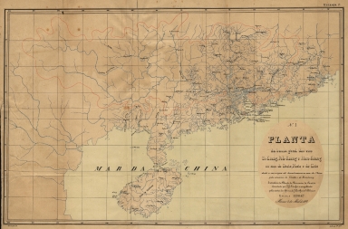
Planta da bacia geral dos rios Si-Kiang, Peh-Kiang e Han-Kiang ou rios do oeste, norte e de este desde a sua origem até desembocarem no mar da China pelos estuários de Cantão e do Broadway : extrahida da Planta da Provincia de Cantão levantada por J.G. Lörcher e completada pelas cartas da China de J. Perthes e de Williams. N. 1.
Contributor
[Lörcher, J. G., Rev., bibliographic antecedent, Perthes, Justus, 1749-1816, bibliographic antecedent, Berghaus, Heinrich Karl Wilhelm, 1797-1884, bibliographic antecedent, Assunção, António José Saldanha, 1850-1900, lithographer, Macau. Imprensa Nacional, lithographer]
Type
Printed
Barcode
3687800354464F
Title
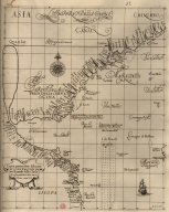
Particular map of the sea of Cochinchina with the southern part of China
Contributor
[Dudley, Robert, Sir, 1574-1649, cartographer, Lucini, Antonio Francesco, 1605-1640, engraver, Onofri, Francesco, fl. 1631-1679, printer]
Type
Printed
Barcode
3687800354457H
Title
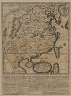
A Map of the 15 Provinces and 155 Capital Cities of the Chinese Empire
Contributor
[Couplet, Philippe, 1623-1692, cartographer, Louvemont, François de, 1648-ca. 1690, engraver, Nolin, Jean-Baptiste, 1648-1708, printer]
Type
Printed
Barcode
36878003545017
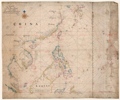
Title
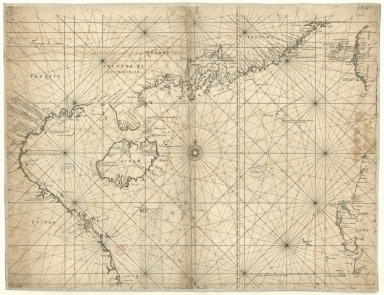
[Carte française de la Mer de Chine et du Golfe de Siam]
Type
Manuscripts
Barcode
3687800354496K
Title
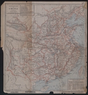
Missionary map of China
Contributor
[Beach, Harlan Page, 1854-1933, cartographer, Servoss, R. D., publisher]
Type
Printed
Barcode
36878003545028
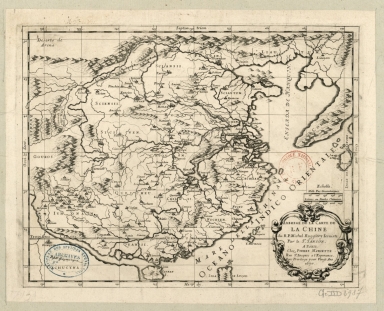
Title
Abbregé de la carte de la Chine du R.P. Michel Ruggiery Jesuiste
Contributor
[Sanson, Guillaume, 1633-1703, cartographer, Ruggieri, Michele, 1543-1607, bibliographic antecedent, Mariette, Pierre, 1634-1716, printer]
Type
Printed
Barcode
36878003545039
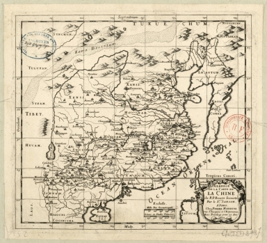
Title
Abbregé de la carte de la Chine du R.P. Bouyn, Jesuiste
Contributor
[Sanson, Guillaume, 1633-1703, cartographer, Boym, Michal, 1612-1659, bibliographic antecedent, Mariette, Pierre, 1634-1716, printer]
Type
Printed
Barcode
3687800354506C
Title
Map of the China Sea
Contributor
Blaeu, Joan, 1596-1673, cartographer
Type
Manuscripts
Barcode
3687800239546I
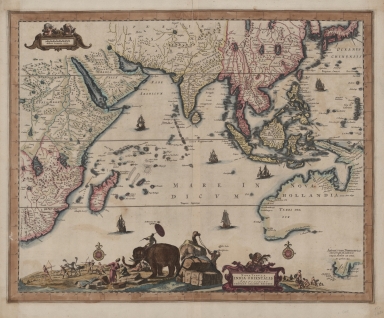
Title
Nova tabula India Orientalis
Contributor
Allard, Carel, 1648-ca. 1709, cartographer
Type
Printed
Barcode
4687820500576
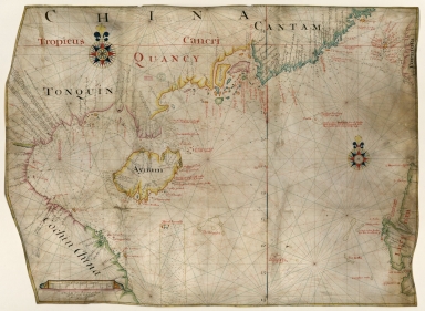
Title
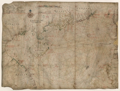
[Tonquin, Quancy, Aynam]
Contributor
[Hacke, William, fl. 16--, cartographer, Sharpe, Bartholomew, fl. 1679-1682, author]
Type
Manuscripts
Barcode
4687820500524
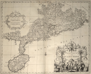
Title
Province de Quang-Tong
Contributor
Anville, Jean Baptiste Bourguignon d', 1697-1782, cartographer
Type
Printed
Barcode
3687800354567J
Title
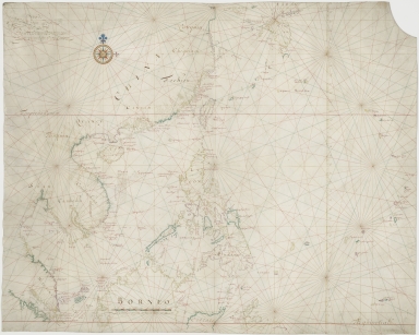
[Chart of the Sea of Canton to Cambodia and the Philippines]
Type
Manuscripts
Barcode
3687800354509F
Title
Map of the coasts of China and neighboring islands with some additions
Contributor
Anville, Jean Baptiste Bourguignon d', 1697-1782, cartographer
Type
Printed
Barcode
3687800354561D
Title
Map of the Chinese Sea and Coast, from Drioens Strait to Nanquin, and the Islands from Borneo to Japan and Ladrones
Contributor
Blaeu, Joan, 1650-1712, cartographer
Type
Manuscripts
Barcode
3687800354566I
Title
Gulf of Tonkin
Contributor
Blaeu, Joan, 1650-1712, cartographer
Type
Manuscripts
Barcode
3687800317484G
Title
Handwritten map of the coasts of the province of Canton
Contributor
Jaillot, Alexis Hubert, ca. 1632-1712, cartographer
Type
Manuscripts
Barcode
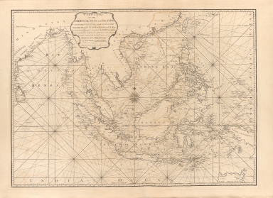
3687800301756B
Title
A new chart of the oriental seas and islands with the coasts of the continent from the Isle of Ceylon to Amoye in China
Contributor
[Après de Mannevillette, Jean-Baptiste-Nicolas-Denis d', 1707-1780, cartographer, Laurie & Whittle, publisher]
Type
Printed
Barcode
3687800354488L
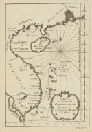
Title
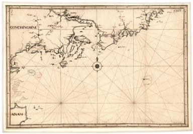
Carte des costes de Cochinchine Tunquin et partie de celles de la Chine.
Type
Manuscript
Barcode
687800354612A
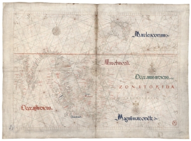
Title
North Indian Ocean, China Sea and part of the Pacific Ocean
Contributor
Homem, Diogo, ca. 1520-1576, cartographer
Type
Manuscripts
1-20 of 20
|
![[Carte française de la Mer de Chine et du Golfe de Siam]](http://lunamap.must.edu.mo:80/MediaManager/srvr?mediafile=/Size1/MUST~2~2/63/GE+SH+18+PF+181+P+9+RES+-+Carte+fran%C3%83%C2%A7aise+de+la+Mer+de+Chine+et+du+Golfe+de+Siam.jpg)
![[Tonquin, Quancy, Aynam]](http://lunamap.must.edu.mo:80/MediaManager/srvr?mediafile=/Size2/MUST~2~2/33/G2201.P5+H3+1690.jpg)
![[Chart of the Sea of Canton to Cambodia and the Philippines]](http://lunamap.must.edu.mo:80/MediaManager/srvr?mediafile=/Size2/MUST~2~2/54/GE+SH+18+PF+181+P+21+RES+Carte+des+mers+de+Canton.jpg)
