|
REFINE
Browse All : Images of China and Taiwan and South China Sea
1-11 of 11
Barcode
4687820501172
Title
[Route de M. de Richery en 1787 de Pondichery a Canton]
Type
Manuscripts
Barcode
4687820501071
Title
Seconde partie de la carte d'Asie : contenant la Chine, et partie de la Tartarie, l'Inde au delà du Gange, les Isles Sumatra, Java, Borneo, Moluques, Philippines et du Japon. Publiée sous les auspices de Monseigneur Louis-Philippe D'Orléans, Duc D'Orléans, prémier Prince du Sang
Contributor
Anville, Jean Baptiste Bourguignon d', 1697-1782, cartographer
Type
Manuscripts
Barcode
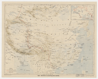
4687820500335
Title
Map showing M. Bonvalot's route
Contributor
Erhard Bros. (Firm), engraver
Type
Printed
Barcode
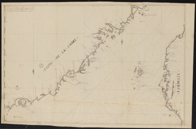
3687800354261A
Title
Carte de côte de la Chine depuis les 22.e jusqu'au 25.e 30.m de latitude nord comprenant la partie de Ouest de l'Isle Formose
Type
Manuscripts
Barcode
3687800354567J
Title
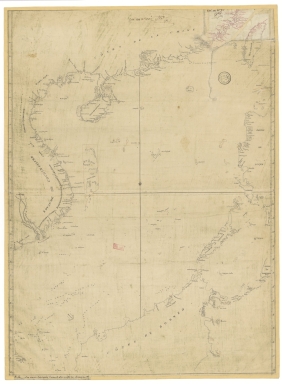
[Chart of the Sea of Canton to Cambodia and the Philippines]
Type
Manuscripts
Barcode
3687800317478J
Title
Dutch nautical chart of the 18th century, including the coasts of Annam, Tonkin, China, Hainan Island and part of Luzon
Contributor
Saffroy, Amand, 1844-1905, former owner
Type
Manuscripts
Barcode
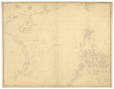
3687800354308C
Title
Gulf of Tonkin to Luzon and Formosa
Contributor
Thornton, John, 1641-1708, hydrographer
Type
Manuscripts
Barcode
3687800354561D
Title
Map of the Chinese Sea and Coast, from Drioens Strait to Nanquin, and the Islands from Borneo to Japan and Ladrones
Contributor
Blaeu, Joan, 1650-1712, cartographer
Type
Manuscripts
Barcode
3687800354262B
Title
Southern part of the China Se
Type
Manuscripts
Barcode
3687800354259H
Title
Chart of the seas of Canton to Cambodia and the Philippines
Type
Manuscripts
Barcode
3687800317471C
Title
A new and correct chart of the coast of China : from latitude 12° north to 26° including Formosa, Hayman and the Philippine Islands.
Contributor
W. and J. Mount, T. and T. Page, 1747-1763, publisher, bookseller
Type
Printed
1-11 of 11
|
![[Route de M. de Richery en 1787 de Pondichery a Canton]](http://lunamap.must.edu.mo:80/MediaManager/srvr?mediafile=/Size2/MUST~2~2/54/GE+SH+18+PF+182+P+6+D_Routes+de+M+de+Richery+en+1787.jpg)

![[Chart of the Sea of Canton to Cambodia and the Philippines]](http://lunamap.must.edu.mo:80/MediaManager/srvr?mediafile=/Size2/MUST~2~2/54/GE+SH+18+PF+181+P+21+RES+Carte+des+mers+de+Canton.jpg)