Search Results: All Fields similar to 'Macao and its Surroundings' and What equal to 'Sea Charts'
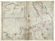
Printed 4687820500108 The Nauigation of the Portin … [Wolfe, John, Phillip, Willi |
Manuscripts 3687800354228D Gulf of Tonkin Blaeu, Joan, 1596-1673, cart … |
Printed 4687820500332 India quae orientalis dicitu … Danckerts, Justus |
Manuscripts 3687800354566I Gulf of Tonkin Blaeu, Joan, 1650-1712, cart … |
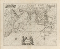
Printed 4687820500489 Mar di India Anonymous |
Printed 4687820500800 [Map of the East Indies] Anonymous |
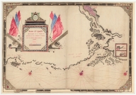
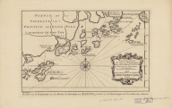
Manuscripts 36878003541204 Plan et carte particuliere d … La Grange-Chancel, Louis de, … |
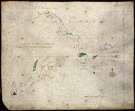
Manuscripts 3687800354308C Gulf of Tonkin to Luzon and … Thornton, John, 1641-1708, h … |
Manuscripts 4687820500578 Kaart van een gedeelte der C … Anonymous |
Manuscripts 4687820500579 Kaart van de Kust van Quinam … Anonymous |
Manuscripts 4687820501208 Plan de la rivière de Canton … Anonymous |
Manuscripts 4687820501205 Carte de l'entrée de Canton … Anonymous |
Manuscripts 4687820501199 Carte de la rivière de Canto … |
Printed 4687820500350 Carte des costes de l'Asie s … Mortier, Pierre, 1661-1711 |
Manuscripts 3687800317476H Gulf of Tonkin to Luzon and … Thornton, John, 1641-1708, c … |
Manuscripts 4687820501072 De Eӯlanden van Macaoủ, loop … De Graaf, Isaac, 1667-1743 |
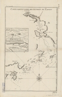
Printed 4687820500490 Carte particulière de l'entr … Anonymous |
Manuscripts 36878003541248 Plan de la riviere de Canton … Liébaut, 16---17--, catogra … |
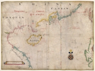
Printed 4687820500205 Carte des isles qui sont a l … [Bellin, Jacques Nicolas, 17 |
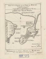
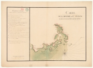
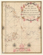
Printed 4687820500047 Plan de la ville et du port … [Bellin, Jacques Nicolas, 17 |
Printed 4687820500039 Carte de l'entrée de la rivi … [Bellin, Jacques Nicolas, 17 |
Manuscripts 4687820501101 Carte plate d'une partie de … Dauge, Philippe |
Printed 4687820501177 A chart of part of the coast … [Dalrymple, Alexander, 1737- |
Printed 4687820500211 Carte d'une partie des côte … Dalrymple, Alexander, 1737-1 … |

Printed 4687820500444 Carte réduite de l'ocean ori … Après de Mannevillette, Jean … |
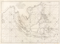
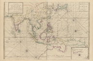
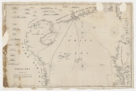
Printed 4687820500782 A chart of the East India Is … Anonymous |
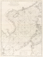
Printed 4687820500783 A general chart of the China … Anonymous |
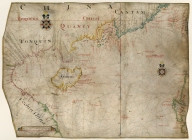
Manuscripts 4687820500556 海疆洋界形勢全圖.Part 4 = Coastal ma … Anonymous |
Manuscripts 4687820500561 海疆洋界形勢圖.Part 3 Hummel, Arthur W. (Arthur Wi … |

Printed 4687820500336 A new chart of the China Sea … [Laurie & Whittle, author, p |

Printed 3687800354267G A new chart of the China Sea … [Laurie & Whittle, author, p |
Printed 687800354127B A chart of the China Sea fro … [Après de Mannevillette, Jea |
Printed 3687800354504A Chart of the south coast of … [Inverarity, David, 17---18- |
Printed 4687820500050 China Sea. Sheet 1.st to Jam … [Horsburgh, James, 1762-1836 |
Printed 4687820500041 [Chart of the China Sea] Norie, J. W. (John William), … |
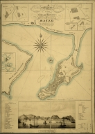
Printed 4687820500710 A map of the city and harbou … Bramston, William, 17---18-- … |
Printed 4687820500105 China Sea. Sheet II Horsburgh, James, 1762-1836, … |
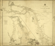
Printed 4687820500574 Chu-Kiang or Canton River fr … |
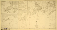
Printed 4687820500570 China. Sheet 1. Eastern Coas … Great Britain. Admiralty, Hy … |
Printed 4687820500572 China. S.E. Coast. Macao to … Davies & Company |
Printed 4687820500571 China-South Coast : Tien Pak … Davies & Company |
Printed 4687820500573 China-South Coast : Tien Pak … Davies & Company |
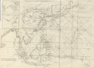
Manuscripts 3687800317483F Dutch Chart of the China Sea |
Manuscripts 3687800317478J Dutch nautical chart of the … Saffroy, Amand, 1844-1905, f … |
Manuscripts 3687800354676K Carte particuliere de l'entr … |
Manuscripts 3687800354678M South China Coast from St. J … |
Manuscripts 3687800317484G Handwritten map of the coast … Jaillot, Alexis Hubert, ca. … |
Manuscripts 36878003541237 Plan de la Riviere de Canton … |
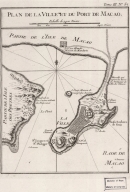
Printed 4687820500658 Plan de la ville et du port … Bellin, Jacques-Nicolas, 170 … |
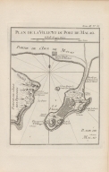
Printed 4687820500498 Plan de la ville et du port … Bellin, Jacques-Nicolas, 170 … |