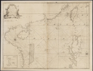
Printed
3687800317471C
A new and correct chart of t
…
W. and J. Mount, T. and T. P
…
|
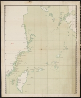
Manuscripts
3687800317467H
Chart of the China Sea
|

Printed
3687800354234A
Consult the numbers in the c
…
Vinckeboons, Joan, 1617-1670
…
|

Manuscripts
36878003222323
Chart of the river of Canton
…
Vinckeboons, Joan, 1617-1670
…
|
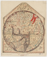
Printed
36878002400386
Hereford Mappa Mundi
Ricardus, de Bello, fl. 1276
…
|
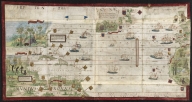
Manuscripts
3687800354297J
North Atlantic Ocean
[Homem, Lopo, fl. 1517-1565,
|
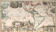
Printed
3687800354077F
Carte tres curieuse de la me
…
Chatelain, Henri Abraham, 16
…
|
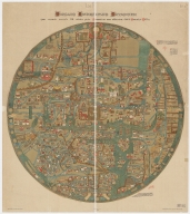
Printed
3687800285630D
Ebstorf mappamundi
[Gervase, of Tilbury, ca. 11
|
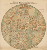
Printed
3687800354588M
Ebstorf Map
[Gervase, of Tilbury, ca. 11
|

Manuscripts
3687800354590F
Charta Rogeriana
[Idrīsī, ca. 1100-1166, ca
|
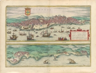
Printed
3687800285605F
[Braun, Georg, 1541-1622, au
|
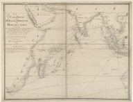
Manuscripts
36878003222413
Carte reduite de l'Ocean-Ori
…
[Le Moyne, François-Pierre,
|
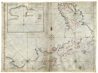
Manuscripts
36878003541237
Plan de la Riviere de Canton
…
|
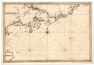
Manuscripts
3687800317484G
Handwritten map of the coast
…
Jaillot, Alexis Hubert, ca.
…
|
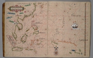
Manuscripts
3687800354097H
|
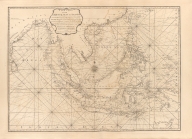
Printed
3687800301756B
A new chart of the oriental
…
[Après de Mannevillette, Jea
|
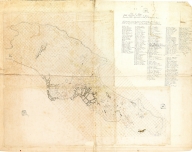
Manuscript
3687800354598N
Planta topográfica da cidade
…
[Osório, Cândido António, 18
|
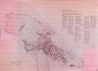
Printed
36878003546018
Planta topográfica da cidade
…
[Osório, Cândido António, 18
|
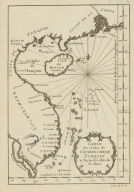
Manuscript
3687800354488L
Carte des costes de Cochinch
…
|
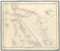
Manuscript
3687800354609G
Chu-Kiang or Canton River fr
…
|
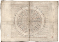
Manuscripts
36878003546108
Disc of 495 mm diameter
Homem, Diogo, ca. 1520-1576,
…
|
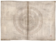
Manuscripts
36878003546119
Disc of 460 mm diameter.
Homem, Diogo, ca. 1520-1576,
…
|
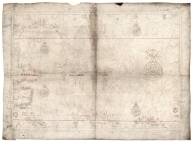
Manuscripts
3687800354613B
Mediterranean Sea, Black Sea
…
Homem, Diogo, ca. 1520-1576,
…
|
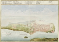
Manuscripts
4687820500716
Platte Grondt van Stadt Maca
…
Vinckeboons, Joan, 1617-1670
…
|
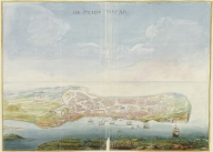
Manuscripts
4687820500715
De stadt Macao
Vinckeboons, Joan, 1617-1670
…
|
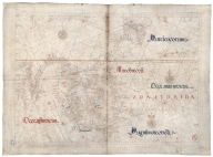
Manuscripts
687800354612A
North Indian Ocean, China Se
…
Homem, Diogo, ca. 1520-1576,
…
|
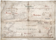
Manuscripts
3687800354615D
North Atlantic Ocean
Homem, Diogo, ca. 1520-1576,
…
|
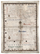
Manuscripts
3687800354617F
Caribbean Sea and South Atla
…
Homem, Diogo, ca. 1520-1576,
…
|
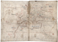
Manuscripts
3687800354614C
North-East Atlantic, North S
…
Homem, Diogo, ca. 1520-1576,
…
|
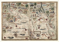
Manuscripts
3687800354643E
North Indian Ocean with Arab
…
[Homem, Lopo, fl. 1517-1565,
|
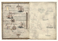
Manuscripts
3687800354645G
Central Atlantic Ocean with
…
[Homem, Lopo, fl. 1517-1565,
|
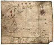
Manuscripts
3687800354648J
Chart of the Pacific Ocean
Albernaz, João Teixeira, I,
…
|
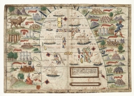
Manuscripts
4687820501037
[Magnus Sinus]
[Homem, Lopo, fl. 1517-1565,
|
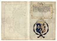
Manuscripts
3687800354649K
Title page with the arms of
…
[Homem, Lopo, fl. 1517-1565,
|
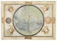
Manuscripts
3687800354646H
World chart
[Homem, Lopo, fl. 1517-1565,
|
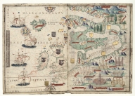
Manuscripts
4687820501089
Northeast Atlantic Ocean and
…
[Homem, Lopo, fl. 1517-1565,
|
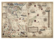
Manuscripts
4687820501035
South Indian Ocean with insu
…
[Homem, Lopo, fl. 1517-1565,
|
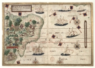
Manuscripts
4687820501034
Southwest Atlantic Ocean wit
…
[Homem, Lopo, fl. 1517-1565,
|
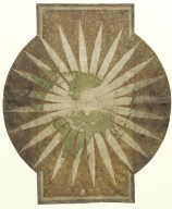
Manuscripts
3687800354651D
World map in 24 time zones d
…
Velho, Bartolomeu, fl. 1560-
…
|
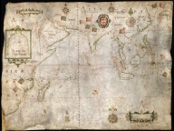
Manuscripts
3687800354650C
Nautical chart of the Indian
…
Gijsbertsz, Evert, d. 1625,
…
|

Printed
3687800354652E
Views of the coasts of China
[Great Britain. Hydrographic
|

Manuscripts
3687800354655H
Nautical chart of the Easter
…
|
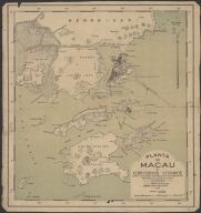
Printed
4687820500773
Planta de Macau e territorio
…
[Macau. Harbour Authority, a
|
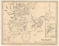
Manuscripts
4687820500771
China ao sul de Cantão
[Pacia, Vicente, 1880-1940,
|
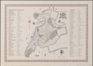
Printed
3687800371238D
Roteiro da cidade de Macau =
…
[Portugal. Imprensa Nacional
|
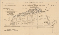
Printed
4687820500775
Plano dos arruamentos nos te
…
[Macau. Direcção das Obras d
|
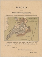
Printed
4687820500776
Sketch of Macao
[Macau. Harbour Authority, a
|
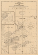
Printed
4687820500774
Carta hydrografica da Coloni
…
[Macau. Obras dos Portos, Br
|
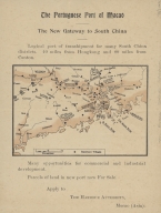
Printed
4687820500777
The Portuguese port of Macao
…
[Macau. Harbour Authority, B
|
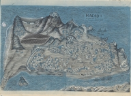
Printed
4687820500799
Macao : fose ficada mais dez
…
[Pacia, Vicente, 1880-1940,
|