|
REFINE
Browse All : Images of Philippines and Vietnam and Hainan Island (China) and China
1-10 of 10
Barcode
36878003545017
Title
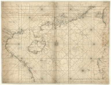
[Carte française de la Mer de Chine et du Golfe de Siam]
Type
Manuscripts
Barcode
3687800354506C
Title
Map of the China Sea
Contributor
Blaeu, Joan, 1596-1673, cartographer
Type
Manuscripts
Barcode
3687800239546I
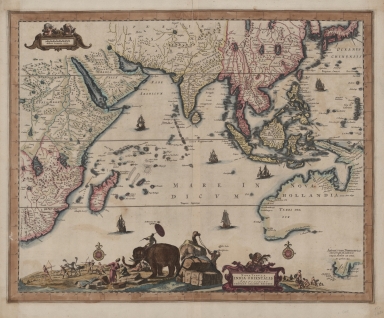
Title
Nova tabula India Orientalis
Contributor
Allard, Carel, 1648-ca. 1709, cartographer
Type
Printed
Barcode
3687800354567J
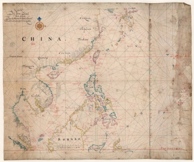
Title
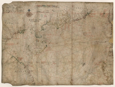
[Chart of the Sea of Canton to Cambodia and the Philippines]
Type
Manuscripts
Barcode
3687800354509F
Title
Map of the coasts of China and neighboring islands with some additions
Contributor
Anville, Jean Baptiste Bourguignon d', 1697-1782, cartographer
Type
Printed
Barcode
3687800354561D
Title
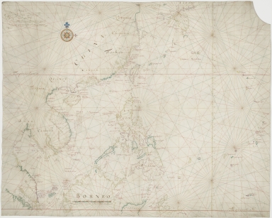
Map of the Chinese Sea and Coast, from Drioens Strait to Nanquin, and the Islands from Borneo to Japan and Ladrones
Contributor
Blaeu, Joan, 1650-1712, cartographer
Type
Manuscripts
Barcode
3687800354566I
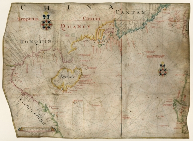
Title
Gulf of Tonkin
Contributor
Blaeu, Joan, 1650-1712, cartographer
Type
Manuscripts
Barcode
3687800301756B
Title
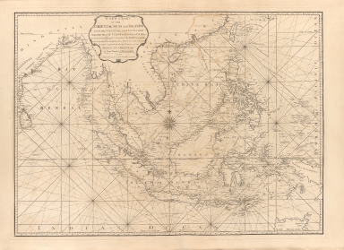
A new chart of the oriental seas and islands with the coasts of the continent from the Isle of Ceylon to Amoye in China
Contributor
[Après de Mannevillette, Jean-Baptiste-Nicolas-Denis d', 1707-1780, cartographer, Laurie & Whittle, publisher]
Type
Printed
Barcode
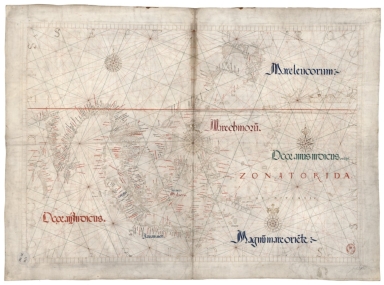
687800354612A
Title
North Indian Ocean, China Sea and part of the Pacific Ocean
Contributor
Homem, Diogo, ca. 1520-1576, cartographer
Type
Manuscripts
1-10 of 10
|
![[Carte française de la Mer de Chine et du Golfe de Siam]](http://lunamap.must.edu.mo:80/MediaManager/srvr?mediafile=/Size1/MUST~2~2/63/GE+SH+18+PF+181+P+9+RES+-+Carte+fran%C3%83%C2%A7aise+de+la+Mer+de+Chine+et+du+Golfe+de+Siam.jpg)
![[Chart of the Sea of Canton to Cambodia and the Philippines]](http://lunamap.must.edu.mo:80/MediaManager/srvr?mediafile=/Size2/MUST~2~2/54/GE+SH+18+PF+181+P+21+RES+Carte+des+mers+de+Canton.jpg)
