|
Barcode
4687820500356
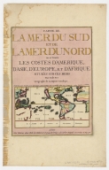
Title
Carte de la Mer du Sud et de la Mer du Nord : ou se trouve les costes d'Amerique, d'Asie, d'Europe et d'Afrique situées sur ces mers. Part 3
Contributor
Fer, Nicolas de, 1646-1720
Type
Printed
Barcode
4687820500357
Title
Carte de la Mer du Sud et de la Mer du Nord : ou se trouve les costes d'Amerique, d'Asie, d'Europe et d'Afrique situées sur ces mers. Part 10
Contributor
Fer, Nicolas de, 1646-1720
Type
Printed
Barcode
4687820500039
Title
Carte de l'entrée de la riviere de Canton : dressée sur les observations les plus récentes = Kaart van 't inkoomen der riviere van Kanton
Contributor
[Bellin, Jacques Nicolas, 1703-1772, Hondt, Pieter de, Schley, Jacobus van der, 1715-1779]
Type
Printed
Barcode
4687820500371
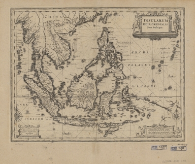
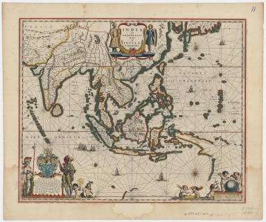
Title
Insularum Indiae Orientalis : nova descriptio
Contributor
Jansson, Jan, 1588-1664
Type
Printed
Barcode
4687820500376
Title
Carte generale de toutes les costes du Monde : et les pays nouvellement decouvert.Part 1
Contributor
[Cóvens et Mortier, Witsen, Nicolaas, 1641-1717, Halley, Edmond, 1656-1742]
Type
Printed
Barcode
4687820500378
Title
Carte de la Mer du Sud et de la Mer du Nord : ou se trouve les costes d'Amerique, d'Asie, d'Europe et d'Afrique situées sur ces mers. Part 2
Contributor
Fer, Nicolas de, 1646-1720
Type
Printed
Barcode
4687820500379
Title
Carte de la Mer du Sud et de la Mer du Nord : ou se trouve les costes d'Amerique, d'Asie, d'Europe et d'Afrique situées sur ces mers. Part 6
Contributor
Fer, Nicolas de, 1646-1720
Type
Printed
Barcode
4687820500380
Title
Carte de la Mer du Sud et de la Mer du Nord : ou se trouve les costes d'Amerique, d'Asie, d'Europe et d'Afrique situées sur ces mers. Part 1
Contributor
Fer, Nicolas de, 1646-1720
Type
Printed
Barcode
4687820500381
Title
Carte de la Mer du Sud et de la Mer du Nord : ou se trouve les costes d'Amerique, d'Asie, d'Europe et d'Afrique situées sur ces mers. Part 4
Contributor
Fer, Nicolas de, 1646-1720
Type
Printed
Barcode
4687820500333
Title
India quae orientalis dicitur, et insulae adiacentes.Part 3
Contributor
Danckerts, Justus
Type
Printed
Barcode
4687820500332
Title
India quae orientalis dicitur, et insulae adiacentes.Part 2
Contributor
Danckerts, Justus
Type
Printed
Barcode
4687820500377
Title
Carte generale de toutes les costes du Monde : et les pays nouvellement decouvert.Part 2
Contributor
[Cóvens et Mortier, Witsen, Nicolaas, 1641-1717, Halley, Edmond, 1656-1742]
Type
Printed
Barcode
4687820500386
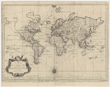
Title
An essay of a new and compact map containing the known parts of the terrestrial globe = Essay d’une carte reduite contenant les parties connues du globe terrestre = Proef van eene aan-eengeschakelde kaart der bekende-deelen des gantschen aardbols
Contributor
[Bellin, Jacques Nicolas, 1703-1772, Hondt, Pieter de, Schley, Jacobus van der, 1715-1779]
Type
Printed
Barcode
4687820500440
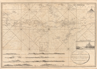
Title
A new chart of the Eastern Straits or the straits to the east of Java with a part of the Banda Sea
Contributor
Williams, Robert
Type
Printed
Barcode
4687820500444
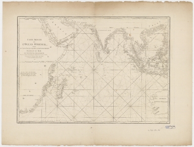
Title
Carte réduite de l'ocean oriental depuis le Cap de Bonne Espérance jusqu'à l'isle Formose
Contributor
Après de Mannevillette, Jean-Baptiste-Nicolas-Denis d', 1707-1780
Type
Printed
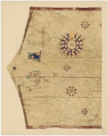
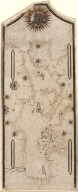
Barcode
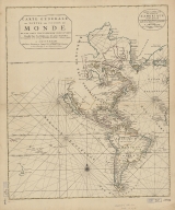
4687820500015
Title
[World map]
Contributor
Cosa, Juan de la, -1510
Type
Printed
Barcode
4687820500485
Title
Index Map : Carte de la Mer du Sud et de la Mer du Nord : ou se trouve les costes d'Amerique, d'Asie, d'Europe et d'Afrique situées sur ces mers
Contributor
Fer, Nicolas de, 1646-1720
Type
Printed
Barcode
4687820500489
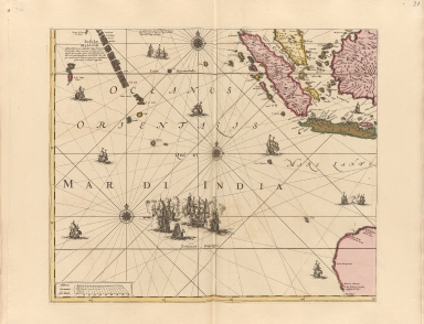
Title
Mar di India
Contributor
Anonymous
Type
Printed
Barcode
4687820500490
Title
Carte particulière de l'entrée de Canton
Contributor
Anonymous
Type
Printed
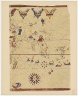
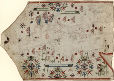
Barcode
4687820500491
Title
[World map by Battista Agnese]
Contributor
Agnese, Battista, active 16th century
Type
Printed
Barcode
4687820500011
Title
Blaeu map of Southeast Asia and the surrounding areas
Contributor
Blaeu, Willem Janszoon, 1571-1638
Type
Printed
Barcode
4687820500553
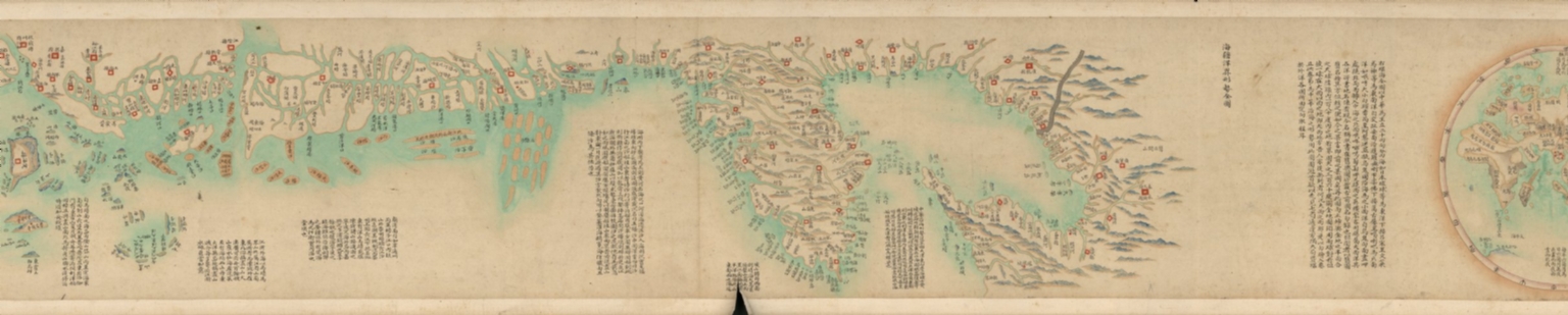
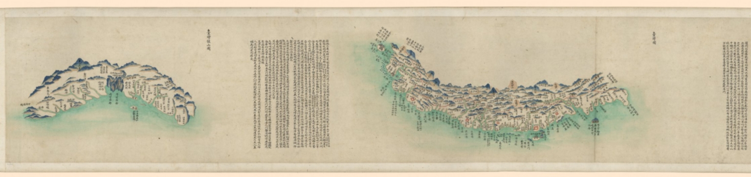
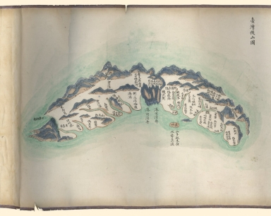
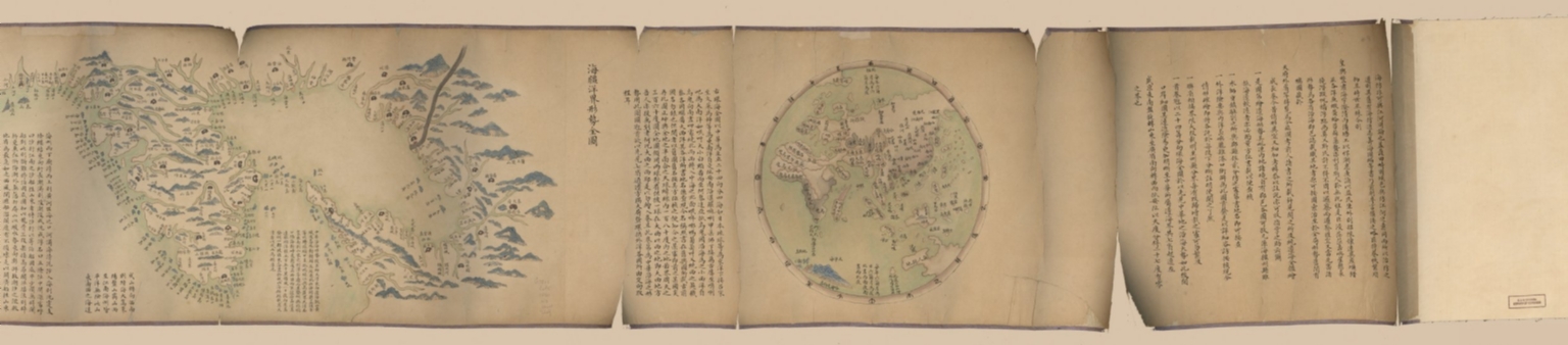
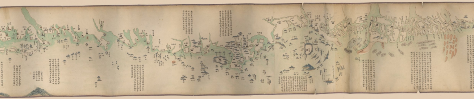
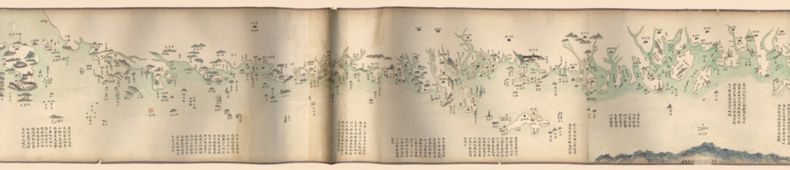
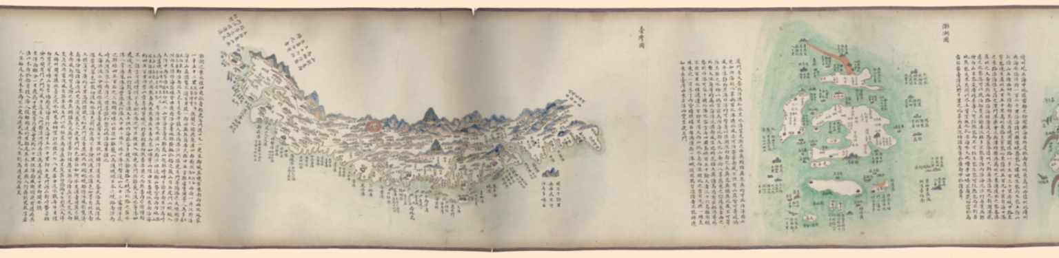
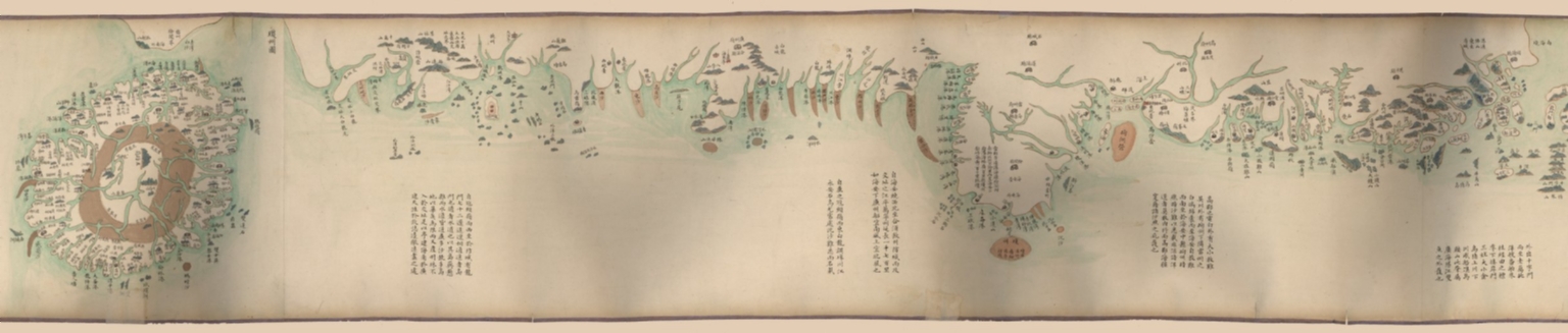
Title
海疆洋界形勢全圖.Part 1 = Coastal map of China.Part 1
Contributor
Anonymous
Type
Manuscripts
Barcode
4687820500534
Title
Blaeu map of Southeast Asia and the surrounding areas
Contributor
Blaeu, Willem Janszoon, 1571-1638
Type
Printed
Barcode
4687820500554
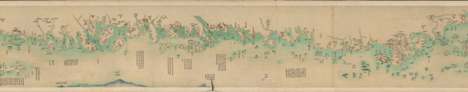
Title
海疆洋界形勢全圖.Part 2 = Coastal map of China.Part 2
Contributor
Anonymous
Type
Manuscripts
Barcode
4687820500555
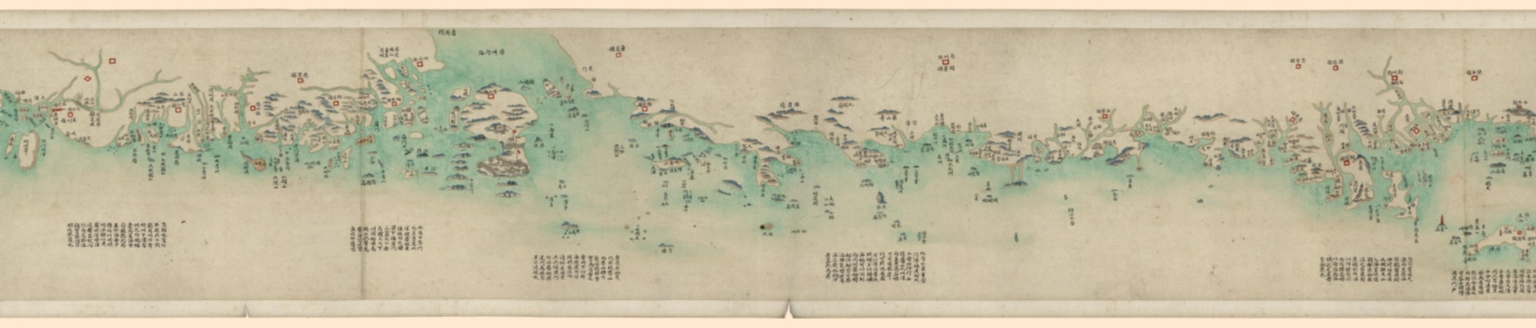
Title
海疆洋界形勢全圖.Part 3 = Coastal map of China.Part 3
Contributor
Anonymous
Type
Manuscripts
Barcode
4687820500556
Title
海疆洋界形勢全圖.Part 4 = Coastal map of China.Part 4
Contributor
Anonymous
Type
Manuscripts
Barcode
4687820500557
Title
海疆洋界形勢全圖.Part 5 = Coastal map of China.Part 5
Contributor
Anonymous
Type
Manuscripts
Barcode
4687820500558
Title
海疆洋界形勢全圖.Part 6 = Coastal map of China.Part 6
Contributor
Anonymous
Type
Manuscripts
Barcode
4687820500564
Title
海疆洋界形勢圖.Part 6
Contributor
Hummel, Arthur W. (Arthur William), 1884-1975
Type
Manuscripts
Barcode
4687820500559
Title
海疆洋界形勢圖.Part 1
Contributor
Hummel, Arthur W. (Arthur William), 1884-1975
Type
Manuscripts
Barcode
4687820500560
Title
海疆洋界形勢圖.Part 2
Contributor
Hummel, Arthur W. (Arthur William), 1884-1975
Type
Manuscripts
Barcode
4687820500561
Title
海疆洋界形勢圖.Part 3
Contributor
Hummel, Arthur W. (Arthur William), 1884-1975
Type
Manuscripts
Barcode
4687820500563
Title
海疆洋界形勢圖.Part 5
Contributor
Hummel, Arthur W. (Arthur William), 1884-1975
Type
Manuscripts
Barcode
4687820500562
Title
海疆洋界形勢圖.Part 4
Contributor
Hummel, Arthur W. (Arthur William), 1884-1975
Type
Manuscripts
Barcode
4687820500566
Title
Albernaz coast map of world
Contributor
[Albernaz, João Teixeira, active 1602-1648, Attayde, Jeronimo de]
Type
Manuscripts
Barcode
4687820500567
Title
Albernaz coast map of Indian Ocean
Contributor
[Albernaz, João Teixeira, active 1602-1648, Attayde, Jeronimo de]
Type
Manuscripts
Barcode
4687820500578
Title
Kaart van een gedeelte der Chineese Zee en Kust, van Punta Lampa cao tot de Overveens Eilanden, het Eiland Formosa enz. Hierop komt mede voor de rivier van Canton, van den mond tot Fangsucis
Contributor
Anonymous
Type
Manuscripts
Barcode
4687820500579
Title
Kaart van de Kust van Quinam, Tonquin en Cochin-China, van R. Cantaon tot aan Punta Lamtaon, benevens het Eyland Aynam en Isla de Pracel
Contributor
Anonymous
Type
Manuscripts
Barcode
4687820500604
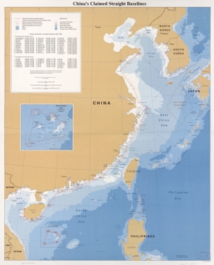
Title
China's claimed straight baselines
Contributor
United States. Central Intelligence Agency
Type
Printed
Barcode
4687820500612
Title
Portolan chart of the Mediterranean and connecting seas
Contributor
Anonymous
Type
Manuscripts
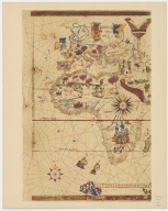
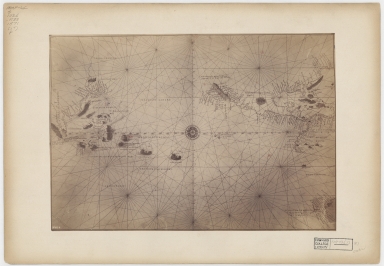
Barcode
4687820500620
Title
Asiento present hordenat a payon les responsions dels pezos e mezures : delahun boch al altre de tots los presents bochs nnomenats los quals son cap e regiment de la mercadoria hordenat : [Mediterraneo e Europa]
Contributor
[Domenech, Arnald, Roselli, Piero]
Type
Manuscripts
Barcode
4687820500624
Title
Portolan chart of the Mediterranean and Black Seas with the west coast of Spain and Portugal
Contributor
Oliva, Placido, active 1575-1615
Type
Manuscripts
Barcode
4687820500630
Title
N/A
Contributor
[Agnese, Battista, active 16th century, Fischer, Theobald, 1846-1910, Biblioteca nazionale marciana]
Type
Manuscripts
Barcode
4687820500642
Title
Portolan chart of the Mediterranean
Contributor
Maggiolo, Vesconte, active 1504-1549
Type
Manuscripts
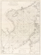
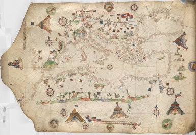
Barcode
4687820500041
Title
[Chart of the China Sea]
Contributor
Norie, J. W. (John William), 1772-1843
Type
Printed
Barcode
4687820500016
Title
Map of the World by Viconte di Maiollo, 1527.Part 1
Contributor
[Maggiolo, Vesconte, active 1504-1549, Weisl, Arthur James, 1838-1910 or 1911]
Type
Printed
Barcode
4687820500017
Title
Map of the World by Viconte di Maiollo, 1527.Part 2
Contributor
[Maggiolo, Vesconte, active 1504-1549, Weisl, Arthur James, 1838-1910 or 1911]
Type
Printed
Barcode
4687820500782
Title
A chart of the East India Islands with the coasts of the continent from Caliminera Point to Amoye in China
Contributor
Anonymous
Type
Printed
Barcode
4687820500018
Title
Map of the World by Viconte di Maiollo, 1527.Part 3
Contributor
[Maggiolo, Vesconte, active 1504-1549, Weisl, Arthur James, 1838-1910 or 1911]
Type
Printed
|
![[World map]](http://lunamap.must.edu.mo:80/MediaManager/srvr?mediafile=/Size1/MUST~2~2/30/G3200_1500_C6_1900.jpg)
![[World map by Battista Agnese]](http://lunamap.must.edu.mo:80/MediaManager/srvr?mediafile=/Size2/MUST~2~2/41/G1026_R33_1871_17_F_02%C3%A5%C2%89%C2%AF%C3%A6%C2%9C%C2%AC.jpg)

![Asiento present hordenat a payon les responsions dels pezos e mezures : delahun boch al altre de tots los presents bochs nnomenats los quals son cap e regiment de la mercadoria hordenat : [Mediterraneo e Europa]](http://lunamap.must.edu.mo:80/MediaManager/srvr?mediafile=/Size1/MUST~2~2/41/G5672.M4P5+1484+.D6.jpg)
![[Chart of the China Sea]](http://lunamap.must.edu.mo:80/MediaManager/srvr?mediafile=/Size2/MUST~2~2/25/G7822_P4_1840_N6.jpg)