REMOVEWHERE
|
Barcode
3687800317483F
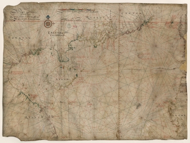
Title
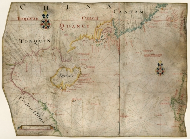
Dutch Chart of the China Sea
Type
Manuscripts
Barcode
3687800354561D
Title
Map of the Chinese Sea and Coast, from Drioens Strait to Nanquin, and the Islands from Borneo to Japan and Ladrones
Contributor
Blaeu, Joan, 1650-1712, cartographer
Type
Manuscripts
Barcode
3687800354228D
Title
Gulf of Tonkin
Contributor
Blaeu, Joan, 1596-1673, cartographer
Type
Manuscripts
Barcode
3687800354566I
Title
Gulf of Tonkin
Contributor
Blaeu, Joan, 1650-1712, cartographer
Type
Manuscripts
Barcode
4687820501106
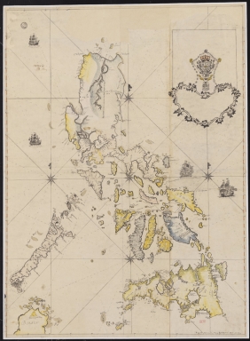
Title
Filipinas
Contributor
Bagay, Nicolás de la Cruz, 1701-1771, cartographer
Type
Manuscripts
Barcode
3687800354499N
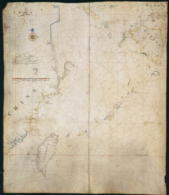
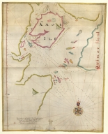
Title
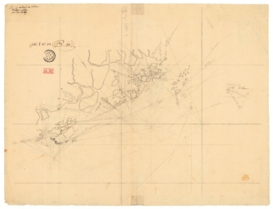
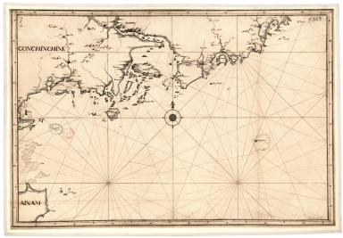
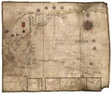
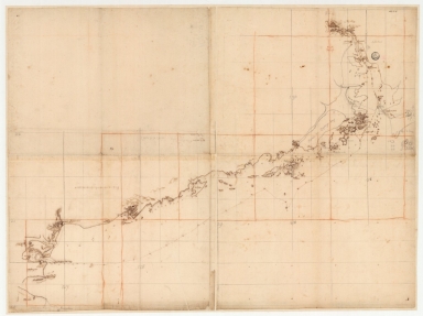
[Map of the southeast coast of China]
Type
Manuscripts
Barcode
3687800354560C
Title
China Sea
Contributor
Blaeu, Joan, 1596-1673, cartographer
Type
Manuscripts
Barcode
3687800354571E
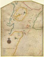
Title
Island of Amoy
Contributor
Thornton, John, 1641-1708, cartographer
Type
Manuscripts
Barcode
3687800354570D
Title
English chart of the island of Amoy
Contributor
Thornton, John, 1641-1708, cartographer
Type
Manuscripts
Barcode
4687820501175
Title
A chart of the China Sea : inscribed to Mons.r d'Aprés de Mannevillette the ingenious author of the Neptune Oriental, as a tribute due to his labours for the benefit of navigation, and in acknowledgment of his many signal favours to A. Dalrymple.
Contributor
[Dalrymple, Alexander, 1737-1808, hydrographer, Henry, B., fl. 1770-1775, engraver, Whitchurch, William, fl. 18th century, engraver, Lane, Bartholomew, fl. 19th century, engraver, Après de Mannevillette, Jean-Baptiste-Nicolas-Denis d', 1707-1780, dedicatee]
Type
Printed
Barcode
36878003222312
Title
To the Society of Managing Owners of the Ships in the English East India Company's Service, This Chart of the China Sea, Including the Philippina Molluca and Banda Islands, Shewing al the same time all the Tracks into the Pacific Ocean, commonly known by the name of the Eastern Passage to China
Contributor
[Robertson, George, 1748-1788, cartographer, Harmer, Thomas, fl. 1784-1814, engraver]
Type
Printed
Barcode
3687800317471C
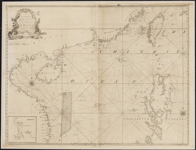
Title
A new and correct chart of the coast of China : from latitude 12° north to 26° including Formosa, Hayman and the Philippine Islands.
Contributor
W. and J. Mount, T. and T. Page, 1747-1763, publisher, bookseller
Type
Printed
Barcode
36878003222413
Title
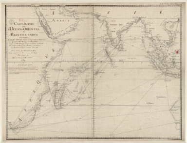
Carte reduite de l'Ocean-Oriental ou Mers des Indes : contenant les costes d Afrique dépuis le cap de Bonne-Espérance, jusqu'a la Mer Rouge, et celles d'Asie dépuis la Mer Rouge, jusqu'a Canton en Chine : Avec les Isles de Madagascar, Bourbon, et de France, les Maldives, I. Ceylan, Sumatra, Java, &.a Pour servir aux vaisseaux du Roy
Contributor
[Le Moyne, François-Pierre, 1713-1795, cartographer, Maurepas, Jean-Frédéric Phélypeaux, comte de, 1701-1781, patron]
Type
Manuscripts
Barcode
36878003541237
Title
Plan de la Riviere de Canton en Chine
Type
Manuscripts
Barcode
3687800317484G
Title
Handwritten map of the coasts of the province of Canton
Contributor
Jaillot, Alexis Hubert, ca. 1632-1712, cartographer
Type
Manuscripts
Barcode
3687800301756B
Title
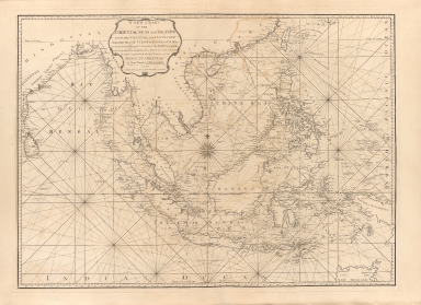
A new chart of the oriental seas and islands with the coasts of the continent from the Isle of Ceylon to Amoye in China
Contributor
[Après de Mannevillette, Jean-Baptiste-Nicolas-Denis d', 1707-1780, cartographer, Laurie & Whittle, publisher]
Type
Printed
Barcode
36878003546108
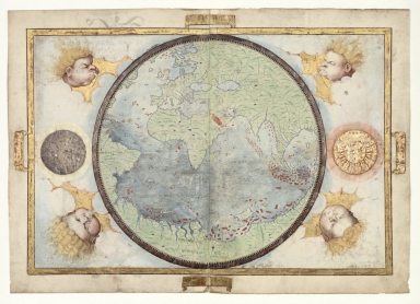
Title
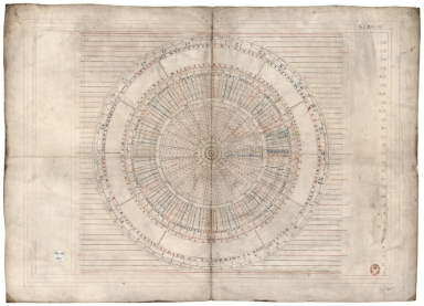
Disc of 495 mm diameter
Contributor
Homem, Diogo, ca. 1520-1576, cartographer
Type
Manuscripts
Barcode
36878003546119
Title
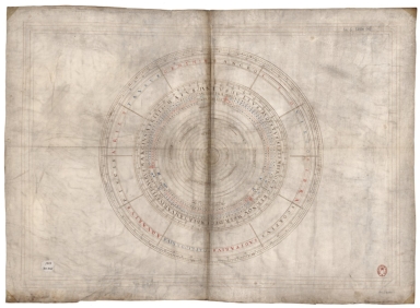
Disc of 460 mm diameter.
Contributor
Homem, Diogo, ca. 1520-1576, cartographer
Type
Manuscripts
Barcode
3687800354613B
Title
Mediterranean Sea, Black Sea, Caspian Sea, Red Sea, Persian Gulf and small part of the Bay of Bengal
Contributor
Homem, Diogo, ca. 1520-1576, cartographer
Type
Manuscripts
Barcode
687800354612A
Title
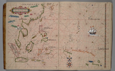
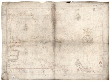
North Indian Ocean, China Sea and part of the Pacific Ocean
Contributor
Homem, Diogo, ca. 1520-1576, cartographer
Type
Manuscripts
Barcode
3687800354615D
Title
North Atlantic Ocean
Contributor
Homem, Diogo, ca. 1520-1576, cartographer
Type
Manuscripts
Barcode
3687800354617F
Title
Caribbean Sea and South Atlantic Ocean
Contributor
Homem, Diogo, ca. 1520-1576, cartographer
Type
Manuscripts
Barcode
3687800354614C
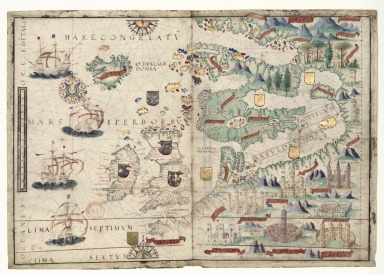
Title
North-East Atlantic, North Sea and Baltic Sea, Mediterranean Sea, Black Sea, Caspian Sea and Red Sea
Contributor
Homem, Diogo, ca. 1520-1576, cartographer
Type
Manuscripts
Barcode
3687800354643E
Title
North Indian Ocean with Arabia and India
Contributor
[Homem, Lopo, fl. 1517-1565, cartographer, Reinel, Pedro, ca. 1464-ca. 1542, cartographer, Reinel, Jorge, ca. 1502-ca. 1572, cartographer, António de Holanda, 1480?-1556, illustrator, Santarém, Manuel Francisco de Barros e Sousa de Mesquita de Macedo Leitão e Carvalhosa, 1791-1856, 2nd viscount of, former owner, Miller, Emmanuel, 1812-1886, former owner]
Type
Manuscripts
Barcode
3687800354645G
Title
Central Atlantic Ocean with the Azores and a blank half sheet
Contributor
[Homem, Lopo, fl. 1517-1565, cartographer, Reinel, Pedro, ca. 1464-ca. 1542, cartographer, Reinel, Jorge, ca. 1502-ca. 1572, cartographer, António de Holanda, 1480?-1556, illustrator, Santarém, Manuel Francisco de Barros e Sousa de Mesquita de Macedo Leitão e Carvalhosa, 1791-1856, 2nd viscount of, former owner, Miller, Emmanuel, 1812-1886, former owner]
Type
Manuscripts
Barcode
3687800354648J
Title
Chart of the Pacific Ocean
Contributor
Albernaz, João Teixeira, I, fl. 1602-1649, cartographer
Type
Manuscripts
Barcode
4687820501037
Title
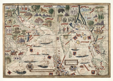
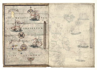
[Magnus Sinus]
Contributor
[Homem, Lopo, fl. 1517-1565, cartographer, Reinel, Pedro, ca. 1464-ca. 1542, cartographer, Reinel, Jorge, ca. 1502-ca. 1572, cartographer, António de Holanda, 1480?-1556, illustrator, Santarém, Manuel Francisco de Barros e Sousa de Mesquita de Macedo Leitão e Carvalhosa, 1791-1856, 2nd viscount of, former owner, Miller, Emmanuel, 1812-1886, former owner]
Type
Manuscripts
Barcode
3687800354649K
Title
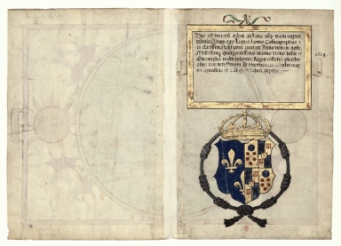
Title page with the arms of Catherine de Medici
Contributor
[Homem, Lopo, fl. 1517-1565, cartographer, Destombes, Marcel, 1905-1983, former owner]
Type
Manuscripts
Barcode
3687800354646H
Title
World chart
Contributor
[Homem, Lopo, fl. 1517-1565, cartographer, Reinel, Jorge, ca. 1502-ca. 1572, cartographer, Reinel, Pedro, ca. 1464-ca. 1542, cartographer, António de Holanda, 1480?-1556, illustrator, Destombes, Marcel, 1905-1983, former owner]
Type
Manuscripts
Barcode
4687820501089
Title
Northeast Atlantic Ocean and Northern Europe
Contributor
[Homem, Lopo, fl. 1517-1565, cartographer, Reinel, Pedro, ca. 1464-ca. 1542, cartographer, Reinel, Jorge, ca. 1502-ca. 1572, cartographer, António de Holanda, 1480?-1556, illustrator, Santarém, Manuel Francisco de Barros e Sousa de Mesquita de Macedo Leitão e Carvalhosa, 1791-1856, 2nd viscount of, former owner, Miller, Emmanuel, 1812-1886, former owner]
Type
Manuscripts
Barcode
4687820501035
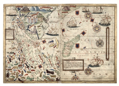
Title
South Indian Ocean with insulindia on the left and Madagascar on the right
Contributor
[Homem, Lopo, fl. 1517-1565, cartographer, Reinel, Pedro, ca. 1464-ca. 1542, cartographer, Reinel, Jorge, ca. 1502-ca. 1572, cartographer, António de Holanda, 1480?-1556, illustrator, Santarém, Manuel Francisco de Barros e Sousa de Mesquita de Macedo Leitão e Carvalhosa, 1791-1856, 2nd viscount of, former owner, Miller, Emmanuel, 1812-1886, former owner]
Type
Manuscripts
Barcode
4687820501034
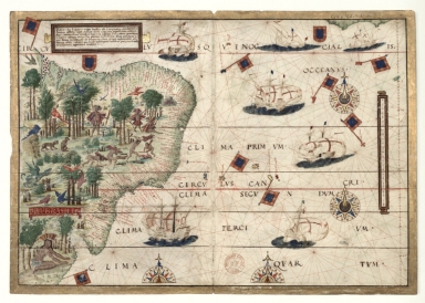
Title
Southwest Atlantic Ocean with Brazil
Contributor
[Homem, Lopo, fl. 1517-1565, cartographer, Reinel, Pedro, ca. 1464-ca. 1542, cartographer, Reinel, Jorge, ca. 1502-ca. 1572, cartographer, António de Holanda, 1480?-1556, illustrator, Santarém, Manuel Francisco de Barros e Sousa de Mesquita de Macedo Leitão e Carvalhosa, 1791-1856, 2nd viscount of, former owner, Miller, Emmanuel, 1812-1886, former owner]
Type
Manuscripts
Barcode
3687800354650C
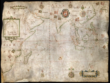
Title
Nautical chart of the Indian Ocean and the Chinese seas
Contributor
Gijsbertsz, Evert, d. 1625, cartographer
Type
Manuscripts
Barcode
3687800354652E
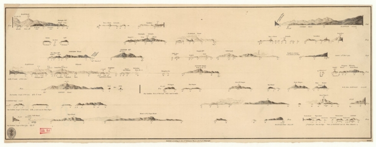
Title
Views of the coasts of China
Contributor
[Great Britain. Hydrographic Office, author, Dalrymple, Alexander, 1737-1808, publisher]
Type
Printed
Barcode
4687820500774
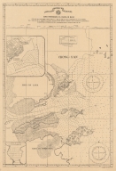
Title
Carta hydrografica da Colonia de Macau
Contributor
[Macau. Obras dos Portos, Braga, José Maria, 1897-1988, former owner]
Type
Printed
Barcode
3687800354656I
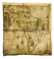
Title
Fragment of a nautical chart showing the coasts of Central and South America on the Atlantic and Pacific Ocean
Contributor
Teixeira, Luís, 1564-1604, cartographer
Type
Manuscripts
Barcode
3687800317476H
Title
Gulf of Tonkin to Luzon and Formosa
Contributor
Thornton, John, 1641-1708, cartographer
Type
Manuscripts
Barcode
3687800354661E
Title
Chart of the coasts of China from Hainan Island to Guangzhou
Type
Manuscripts
Barcode
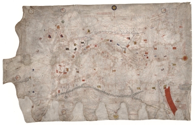
3687800354663G
Contributor
Caverio, Nicolo di, fl. 1502, cartographer
Type
Manuscripts
Barcode
687800354663G
Contributor
Caverio, Nicolo di, fl. 1502, cartographer
Type
Manuscripts
Barcode
3687800354662F
Title
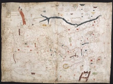
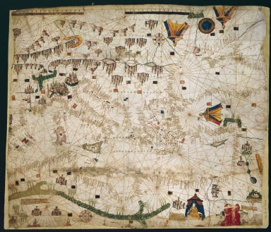
Nautical chart of the Mediterranean Sea and the Black Sea
Contributor
Roselli, Pietro, fl. 1446-1489, cartographer
Type
Manuscripts
Barcode
3687800354664H
Title
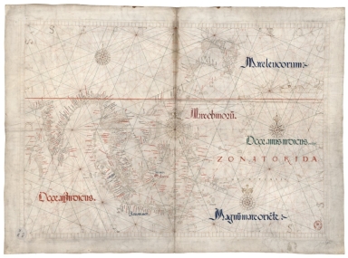
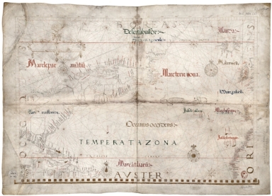
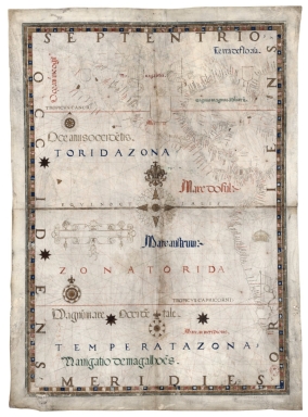
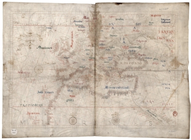
Universa ac navigabilis totius terrarum orbis descriptio, cum omnibus portubus, ynsulis, fluviis, Promo[n]toriis, stationibus, angulis, ac sinibus, adicta certissima, tum latitudinis, tum longitudinis graduu[m] dimensione, ut nihil reliquum sit, quod ad yustum cosmographiae tractatum spectare videatur
Contributor
Homem, André, fl. 1559-1586, cartographer
Type
Manuscripts
Barcode
3687800354665I
Title
Universa ac navigabilis totius terrarum orbis descriptio, cum omnibus portubus, ynsulis, fluviis, Promo[n]toriis, stationibus, angulis, ac sinibus, adicta certissima, tum latitudinis, tum longitudinis graduu[m] dimensione, ut nihil reliquum sit, quod ad yustum cosmographiae tractatum spectare videatur
Contributor
Homem, André, fl. 1559-1586, cartographer
Type
Manuscripts
Barcode
3687800354667K
Title
Universa ac navigabilis totius terrarum orbis descriptio, cum omnibus portubus, ynsulis, fluviis, Promo[n]toriis, stationibus, angulis, ac sinibus, adicta certissima, tum latitudinis, tum longitudinis graduu[m] dimensione, ut nihil reliquum sit, quod ad yustum cosmographiae tractatum spectare videatur
Contributor
Homem, André, fl. 1559-1586, cartographer
Type
Manuscripts
Barcode
3687800354675J
Title
Carte marine de la mer Baltique, de la mer du Nord, de l'océan Atlantique Est, de la mer Méditerranée, de la mer Noire et de la mer Rouge
Contributor
Dulcert, Angelino, 1350-1400, cartographer
Type
Manuscripts
Barcode
4687820501068
Title
Nautical chart of the Eastern Atlantic Ocean, Mediterranean Sea, Black Sea and Red Sea
Contributor
Soler, Guillem, fl.1380-1385, cartographer
Type
Manuscripts
Barcode
3687800354676K
Title
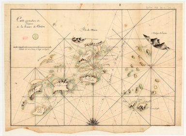
Carte particuliere de l'entrée de la Riviere de Canton
Type
Manuscripts
Barcode
3687800354678M
Title
South China Coast from St. John Island to the Lamma Islands
Type
Manuscripts
Barcode
3687800354681G
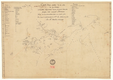
Title
Carte d'une partie de la côte de la Chine et des îles adjacentes depuis la pierre blanche jusqu'à l'isle nommée l'Artimon tracée sur les observations faites en 1759 & 1760 du senau Le Goudelours du v.au Le Londres en 1764
Contributor
Dalrymple, Alexander, 1737-1808, cartographer
Type
Manuscripts
|
![[Map of the southeast coast of China]](http://lunamap.must.edu.mo:80/MediaManager/srvr?mediafile=/Size2/MUST~2~2/54/SH+18+PF+181+P+16+D.jpg)
![[Magnus Sinus]](http://lunamap.must.edu.mo:80/MediaManager/srvr?mediafile=/Size2/MUST~2~2/54/GE+DD-683-2-5+RES+-+Atlas+Miller+-+feuille4++recto.jpg)
![Universa ac navigabilis totius terrarum orbis descriptio, cum omnibus portubus, ynsulis, fluviis, Promo[n]toriis, stationibus, angulis, ac sinibus, adicta certissima, tum latitudinis, tum longitudinis graduu[m] dimensione, ut nihil reliquum sit, quod ad yustum cosmographiae tractatum spectare videatur](http://lunamap.must.edu.mo:80/MediaManager/srvr?mediafile=/Size2/MUST~2~2/54/GE+CC-2719+-+RES+-+vue3.jpg)
![Universa ac navigabilis totius terrarum orbis descriptio, cum omnibus portubus, ynsulis, fluviis, Promo[n]toriis, stationibus, angulis, ac sinibus, adicta certissima, tum latitudinis, tum longitudinis graduu[m] dimensione, ut nihil reliquum sit, quod ad yustum cosmographiae tractatum spectare videatur](http://lunamap.must.edu.mo:80/MediaManager/srvr?mediafile=/Size2/MUST~2~2/54/GE+CC-2719+-+RES+-+vue1.jpg)
![Universa ac navigabilis totius terrarum orbis descriptio, cum omnibus portubus, ynsulis, fluviis, Promo[n]toriis, stationibus, angulis, ac sinibus, adicta certissima, tum latitudinis, tum longitudinis graduu[m] dimensione, ut nihil reliquum sit, quod ad yustum cosmographiae tractatum spectare videatur](http://lunamap.must.edu.mo:80/MediaManager/srvr?mediafile=/Size1/MUST~2~2/54/GE+CC-2719+-+RES+-+vue5.jpg)
