|
Barcode
4687820500210
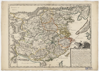
Title
Royaume de la Chine
Contributor
Sanson, Nicolas, 1600-1667
Type
Printed
Barcode
4687820500032
Title
La Chine royaume : cette carte n'est quin abrege d'une autre tres belle, fort grande, et fort particuliere ...
Contributor
Sanson, Nicolas, 1600-1667
Type
Printed
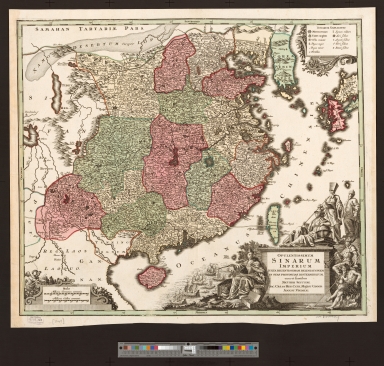
Barcode
4687820500367
Title
Van Loon map of China
Contributor
Loon, J. van, approximately 1611-1686
Type
Printed
Barcode
4687820500494
Title
Reys-Kaerte Vande Ambassade der Nederlantse Oost Indise Compagnie door China aen en Grooten Tartersen Cham
Contributor
Nieuhof, Johannes, 1618-1672
Type
Printed
Barcode
36878003545028
Title
Abbregé de la carte de la Chine du R.P. Michel Ruggiery Jesuiste
Contributor
[Sanson, Guillaume, 1633-1703, cartographer, Ruggieri, Michele, 1543-1607, bibliographic antecedent, Mariette, Pierre, 1634-1716, printer]
Type
Printed
Barcode
36878003545039
Title
Abbregé de la carte de la Chine du R.P. Bouyn, Jesuiste
Contributor
[Sanson, Guillaume, 1633-1703, cartographer, Boym, Michal, 1612-1659, bibliographic antecedent, Mariette, Pierre, 1634-1716, printer]
Type
Printed
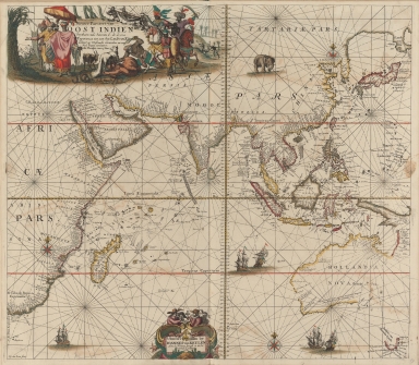
Barcode
4687820500215
Title
Nieuwe pascaert van Oost Indien
Contributor
Keulen, Johannes van, 1654-1715
Type
Printed
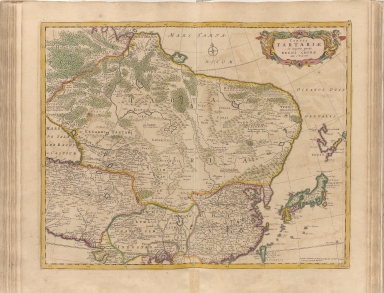
Barcode
4687820500320
Title
Tabula Tartariae et majoris partis regni Chinae
Contributor
Wit, Frederik de
Type
Printed
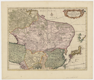
Barcode
4687820500372
Title
Magnae Tartariae, magni Mogolis imperii, Japoniae et Chinae, nova descriptio.
Contributor
Wit, Frederik de
Type
Printed
Barcode
4687820501105
Title
Il regno della China detto presentemente Catay, e Mangin, diviso sopra le Carte piú esatte nelle sue Principle Provincie
Contributor
[Cantelli, Giacomo, 1643-1695, cartographer, Grueber, Johann, 1623-1680 bibliographic antecedent, Góis, Bento de, 1562-1607, bibliographic antecedent, Martini, Martino, 1614-1661, bibliographic antecedent, Tavernier, Jean-Baptiste, 1605-1689, bibliographic antecedent, Widman, Georgio, fl. 1705, engraver, Rossi, Giovanni Giacomo de, 1627-1691, printer]
Type
Printed
Barcode
4687820500489
Title
Mar di India
Contributor
Anonymous
Type
Printed
Barcode
4687820500518
Title
Carte exacte de toutes les provinces, villes, bourgs, villages et rivières du vaste et puissant empire de la Chine : faite par les ambassadeurs hollandois dans leur voyage de Batavia à Peking
Contributor
[Nieuhof, Johannes, 1618-1672, Aa, Pieter van der, 1659-1733]
Type
Printed
Barcode
3687800354493H
Title
La partie orientale de l'Asia ou se trouvent le grand Empire des Tartares Chinois et Celuy du Japon
Contributor
[Fer, Nicolás de, 1646-1720, cartographer, Inselin, Charles, fl. 1673-1715, engraver]
Type
Printed
Barcode
3687800354316B
Title
Carte des Indes et de la Chine : dressée sur plusieurs relations particulières rectifiées par quelques observations
Contributor
[Delisle, Guillaume, 1675-1726, publisher, Renard, Louis, ca. 1678-1746, publisher]
Type
Printed
Barcode
4687820501109
Title
Carte des provinces de la Chine
Contributor
Anonymous
Type
Printed
Barcode
4687820500380
Title
Carte de la Mer du Sud et de la Mer du Nord : ou se trouve les costes d'Amerique, d'Asie, d'Europe et d'Afrique situées sur ces mers. Part 1
Contributor
Fer, Nicolas de, 1646-1720
Type
Printed
Barcode
4687820500853
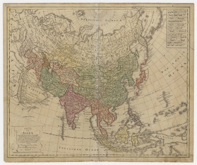
Title
Asia Corrected, According to the latest Discoveries & Observations Communicated to the Royal Society of London and the Royal Academy of Paris.
Contributor
Bowel, Emanuel, d. 1757
Type
Printed
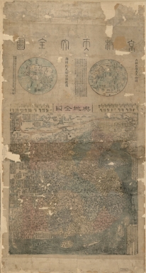
Barcode
4687820500671
Title
三才一貫圖 = Map of the three powers unified
Contributor
呂撫, active 1722-1732
Type
Printed
Barcode
4687820500390
Title
大明都城図 = Dai Min tojōzu
Contributor
Suharaya, Mohē, 1731-1782
Type
Printed
Barcode
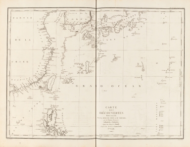
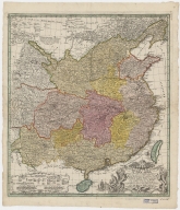
4687820501078
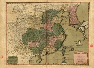
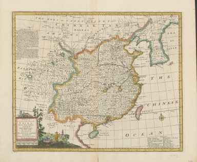
Title
Carte generale de la Chine : dressée sur les cartes particulieres que l'Empereur Cang-hi a fait lever sur les lieux par les RR. PP. Jesuites mission[n]aires dans cet Empire
Contributor
[Anville, Jean Baptiste Bourguignon d', 1697-1782, cartographer, Gravelot, Hubert-François, 1699-1773, illustrator, engraver, Delahaye, Jean Baptiste, fl. 1721-1723, engraver]
Type
Printed
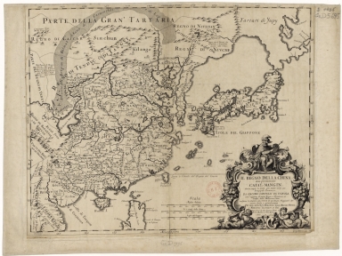
Barcode
4687820500426
Title
Carte de Tartarie : dressée sur les Relations de plusieurs Voyageurs de differentes Nations et sur quelques Observations qui ont été faites dans ce païs la
Contributor
[L'Isle, Guillaume de, 1675-1726, Cóvens et Mortier]
Type
Printed
Barcode
4687820500002
Title
d'Anville map of Chinese Empire
Contributor
Anville, Jean Baptiste Bourguignon d', 1697-1782
Type
Printed
Barcode
3687800354474G
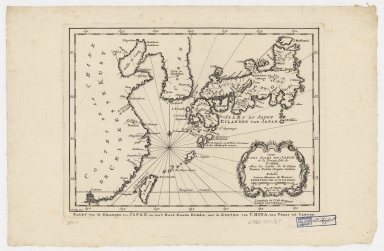
Title
Map of the islands of Japan and the closest coasts of China
Contributor
[Bellin, Jacques-Nicolas, 1703-1772, cartographer, Dheulland, Guillaume, d. ca. 1770, engraver]
Type
Printed
Barcode
4687820500033
Title
Map of China, and a description of the work of missionaries in China
Contributor
[Hase, Johann Matthias, 1684-1742, Anville, Jean Baptiste Bourguignon d', 1697-1782, Du Halde, J.-B. (Jean-Baptiste), 1674-1743]
Type
Printed
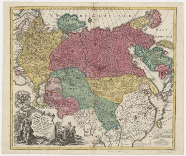
Barcode
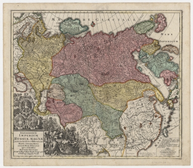
4687820500441
Title
Spatiosissimum imperium Russiæ Magnæ, iuxta recentissimas observationes, mappa geographica accuratissime delineatum
Contributor
Seutter, Matthaeus, 1678-1756
Type
Printed
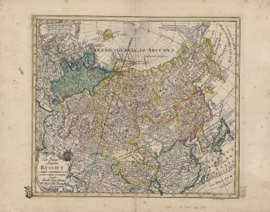
Barcode
4687820500069
Title
Opulentissimum sinarum imperium juxta recentissimam delineationem in suas provincias disterminatum
Contributor
Seutter, Matthaeus, 1678-1756
Type
Printed
Barcode
4687820500312
Title
La Chine
Contributor
Le Rouge, Georges-Louis
Type
Printed
Barcode
4687820500209
Title
Carte des isles du Japon et la presqu'isle de Coree, avec les costes de la Chine depuis Pekin jusqu'a Canton = Kaart van de Eilanden van Japan, en van't Half-Eiland Koréa ; met de Kusten van China van Pekin tot Canton
Contributor
[Bellin, Jacques Nicolas, 1703-1772, Schley, Jacobus van der, 1715-1779]
Type
Printed
Barcode
4687820500786
Title
A new & accurate map of China : drawn from surveys made by Jesuit missionaries by order of the Emperor : the whole being regulated by numerous astronomical observations
Contributor
Bowen, Emanuel, -1767
Type
Printed
Barcode
4687820500344
Title
L'empire de la Chine pour servir a l'Histoire generale des voyages = Keizerryk van China, om te dienen tot de Historische Beschryving der Reizen
Contributor
[Bellin, Jacques Nicolas, 1703-1772, Schley, Jacobus van der, 1715-1779]
Type
Printed
Barcode
4687820500351
Title
La Chine avec la Korée, et les parties de la Tartarie les plus voisines : tirées des cartes que les Jesuites Missionaires ont levées les années 1708, jusqu'en 1717 = Keyzerryk van China, met Korea, en de aangrenzende deelen van Tartarye
Contributor
[Bellin, Jacques Nicolas, 1703-1772, Hondt, Pieter de, Schley, Jacobus van der, 1715-1779]
Type
Printed
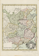
Barcode
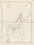
4687820500122
Title
[Northeastern Asia]
Contributor
Anville, Jean Baptiste Bourguignon d', 1697-1782
Type
Printed
Barcode
4687820501164
Title
Carte des provinces de Chine
Contributor
陸寅生
Type
Printed
Barcode
4687820500330
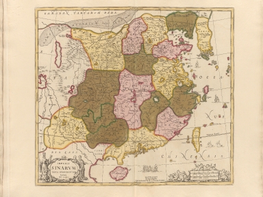
Title
Imperii Sinarum nova descriptio
Contributor
Loon, J. van, approximately 1611-1686
Type
Printed
Barcode
4687820500427
Title
Spatiosissimum Imperium Russiae magnae iuxta recentissimas observationes mappa geographica
Contributor
Lotter, Tobias Conrad, 1717-1777
Type
Printed
Barcode
4687820500340
Title
Tab. Geogr. Imperii Russici : ad emendatiora adhuc edita exempla jussu Acad. Reg. Scient. et eleg. Litt. Boruss. descripta
Contributor
Euler, Leonhard, 1707-1783
Type
Printed
Barcode
4687820501175
Title
A chart of the China Sea : inscribed to Mons.r d'Aprés de Mannevillette the ingenious author of the Neptune Oriental, as a tribute due to his labours for the benefit of navigation, and in acknowledgment of his many signal favours to A. Dalrymple.
Contributor
[Dalrymple, Alexander, 1737-1808, hydrographer, Henry, B., fl. 1770-1775, engraver, Whitchurch, William, fl. 18th century, engraver, Lane, Bartholomew, fl. 19th century, engraver, Après de Mannevillette, Jean-Baptiste-Nicolas-Denis d', 1707-1780, dedicatee]
Type
Printed
Barcode
4687820500211
Title
Carte d'une partie des côtes de la Chine et des Isles adjacentes : depuis l'Isle nommée la Pierre Blanche, jusqu'a celle de l'Artimon
Contributor
Dalrymple, Alexander, 1737-1808
Type
Printed
Barcode
4687820500782
Title
A chart of the East India Islands with the coasts of the continent from Caliminera Point to Amoye in China
Contributor
Anonymous
Type
Printed
Barcode
3687800354652E
Title
Views of the coasts of China
Contributor
[Great Britain. Hydrographic Office, author, Dalrymple, Alexander, 1737-1808, publisher]
Type
Printed
Barcode
4687820500422
Title
Nova mappa generalis totius orbis amplissimae Russorum Monarchiae = Nouvelle carte d'Empire de Russie et de Tartarie, grande et petite en Europe et en Asie
Contributor
[Probst, Johann Michael, -1809, Probst, Johann Georg, 1759-1809]
Type
Printed
Barcode
4687820501108
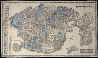
Title
大清廣輿圖 = Carte de la Chine sous la dynastie Ts'ing
Contributor
[Nagakubo, Sekisui, 1717-1801, 程赤城, 蔡方炳, 1626-1709]
Type
Printed
Barcode
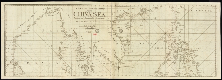
4687820501178
Title
A new and correct chart of the China Sea
Contributor
[Moore, John Hamilton, 1738-1807, cartographer, Blake, T. J., fl. 1785-1785, engraver]
Type
Printed
Barcode
4687820500132
Title
Carte Générale Des Découvertes faites en 1787 dans les Mers De Chine et De Tartarie ou depuis Manille jusqu'à Avatscha : par les Frégates Françaises la Boussole et l'Astrolabe
Contributor
La Pérouse, Jean-François de Galaup, comte de, 1741-1788
Type
Printed
Barcode
4687820500212
Title
Carte des découvertes faites en 1787 dans les mers de Chine et de Tartarie : par les frégates françaises la Boussole et l'Astrolabe, depuis leur départ de Manille jusqu'à leur arrivée au Kamtschatka
Contributor
La Pérouse, Jean-François de Galaup, comte de, 1741-1788
Type
Printed
Barcode
4687820500677
Title
京版天文全圖 = Complete map of astronomy and the Qing Empire
Contributor
[馬俊良, active 18th century-19th century, 黄宗羲, 1610-1695]
Type
Printed
Barcode
36878003222312
Title
To the Society of Managing Owners of the Ships in the English East India Company's Service, This Chart of the China Sea, Including the Philippina Molluca and Banda Islands, Shewing al the same time all the Tracks into the Pacific Ocean, commonly known by the name of the Eastern Passage to China
Contributor
[Robertson, George, 1748-1788, cartographer, Harmer, Thomas, fl. 1784-1814, engraver]
Type
Printed
Barcode
4687820500391
Title
Charte von Asien : nach den bewährtesten astronomischen Beobachtungen den neuesten Reisen, und den vorzüglichsten Charten, insonderheit aber der Geographie de Hrn I.C. Gatterers. gemäss
Contributor
[Güssefeld, F. L. (Franz Ludwig), 1744-1807, Homann Erben (Firm)]
Type
Printed
Barcode
3687800354473F
Title
The Empire of China with its principal divisions : drawn from the surveys made by the Jesuits, with improvements and additions from the maps of Mons.r D'Anville.
Contributor
[Anville, Jean Baptiste Bourguignon d', 1697-1782, bibliographic antecedent, Bowen, Maurice, fl. ca. 1780-1794, engraver, Whittle & Laurie, publisher]
Type
Printed
Barcode
3687800301756B
Title
A new chart of the oriental seas and islands with the coasts of the continent from the Isle of Ceylon to Amoye in China
Contributor
[Après de Mannevillette, Jean-Baptiste-Nicolas-Denis d', 1707-1780, cartographer, Laurie & Whittle, publisher]
Type
Printed
|
![Carte generale de la Chine : dressée sur les cartes particulieres que l'Empereur Cang-hi a fait lever sur les lieux par les RR. PP. Jesuites mission[n]aires dans cet Empire](http://lunamap.must.edu.mo:80/MediaManager/srvr?mediafile=/Size2/MUST~2~2/54/GE+DD-2987+%287155+B%29.jpg)
![[Northeastern Asia]](http://lunamap.must.edu.mo:80/MediaManager/srvr?mediafile=/Size1/MUST~2~2/41/G7800_1750_A5%C3%A5%C2%89%C2%AF%C3%A6%C2%9C%C2%AC.jpg)