|
REFINE
Search Results: All Fields similar to 'Macao in East Indies Maps' and What equal to 'Printed' and Where equal to 'China'
1-16 of 16
Barcode
4687820500365
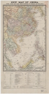
Title
New map of China, Corea, Anam and Siam, with portions of Burmah and Malaysia
Contributor
Rand McNally and Company
Type
Printed
Barcode
4687820500394
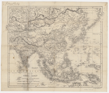
Title
Map of China, Japan and the eastern archipelago : issued with the London & China Telegraph of 28th November and the London & China Express of 26th November 1859
Contributor
Wyld, James, 1812-1887
Type
Printed
Barcode
4687820500782
Title
A chart of the East India Islands with the coasts of the continent from Caliminera Point to Amoye in China
Contributor
Anonymous
Type
Printed
Barcode
4687820501178
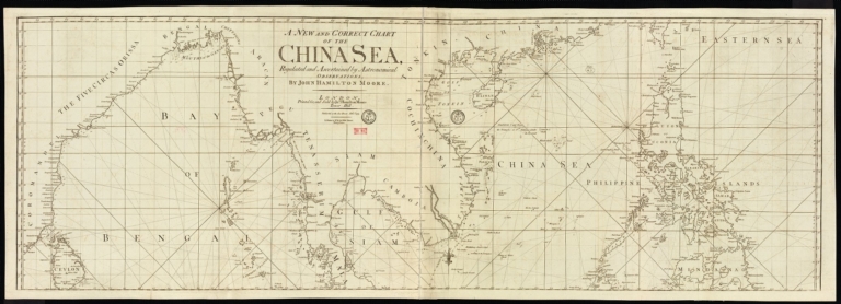
Title
A new and correct chart of the China Sea
Contributor
[Moore, John Hamilton, 1738-1807, cartographer, Blake, T. J., fl. 1785-1785, engraver]
Type
Printed
Barcode
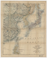
3687800354469K
Title
Stanford's map of Eastern China, Japan and Korea : 1898.
Contributor
Edward Stanford Ltd., author, publisher
Type
Printed
Barcode
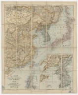
3687800354468J
Title
Stanford's map of eastern China, Japan and Korea : the seat of war in 1894
Contributor
Edward Stanford Ltd., author, publisher
Type
Printed
Barcode
36878003222312
Title
To the Society of Managing Owners of the Ships in the English East India Company's Service, This Chart of the China Sea, Including the Philippina Molluca and Banda Islands, Shewing al the same time all the Tracks into the Pacific Ocean, commonly known by the name of the Eastern Passage to China
Contributor
[Robertson, George, 1748-1788, cartographer, Harmer, Thomas, fl. 1784-1814, engraver]
Type
Printed
Barcode
3687800317471C
Title
A new and correct chart of the coast of China : from latitude 12° north to 26° including Formosa, Hayman and the Philippine Islands.
Contributor
W. and J. Mount, T. and T. Page, 1747-1763, publisher, bookseller
Type
Printed
Barcode
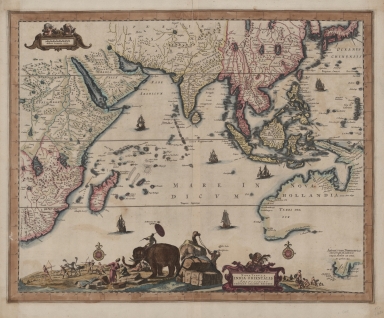
4687820501007
Title
[[Carte portugaise de la mer des Indes entre le Cap de Bonne Espérance et le Cap Comorin] ; [Carte portugaise de la mer qui comprend le Golfe du bengale, les côtes de la Chine et les îles du Japon, Philippines, de la Sonde et Moluques], [Carte portugaise de la mer qui comprend le Golfe du bengale, les côtes de la Chine et les îles du Japon, Philippines, de la Sonde et Moluques]]
Contributor
Albernaz, João Teixeira, fl. 1602-1649, cartographer
Type
Printed
Barcode
3687800239546I
Title
Nova tabula India Orientalis
Contributor
Allard, Carel, 1648-ca. 1709, cartographer
Type
Printed
Barcode
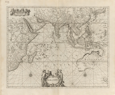
4687820500489
Title
Mar di India
Contributor
Anonymous
Type
Printed
Barcode
4687820500218
Title
A chart of the China Sea : inscribed to Mons.r D'Aprés de Mannevillette the ingenious author of the Neptune Oriental, as a tribute due to his labours for the benefit of Navigation, and in acknowledgement of his many signal favours to Dalrymple.
Contributor
[Dalrymple, Alexander, 1737-1808, hydrographer, Demonville, Antoine Guénard, ca. 1733-1797, printer, Malassis, Romain-Nicolas, 1737-1813, printer, Après de Mannevillette, Jean-Baptiste-Nicolas-Denis d', 1707-1780, dedicatee]
Type
Printed
Barcode
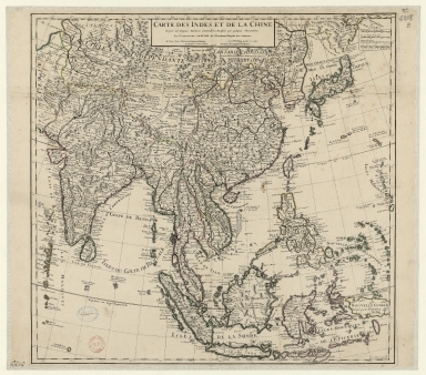
3687800354316B
Title
Carte des Indes et de la Chine : dressée sur plusieurs relations particulières rectifiées par quelques observations
Contributor
[Delisle, Guillaume, 1675-1726, publisher, Renard, Louis, ca. 1678-1746, publisher]
Type
Printed
Barcode
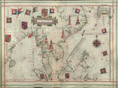
3687800354452C
Title
Far East and Insulindia
Contributor
[Dourado, Fernão Vaz, 1520-1580, cartographer, Ferron, cavalheiro, former owner, Carlos I, King of Portugal, 1863-1908, former owner, Castelo Branco, João Martens Ferrão de, fl. 1847-1891, former owner]
Type
Printed
Barcode
4687820500479
Title
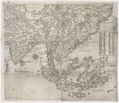
The Design of the Third Part of Asia
Contributor
[Gastaldi, Giacomo, ca. 1500-ca. 1565, cartographer, Licinius, Fabius, 1521-1565, engraver, Libraria di San Marco (Venice), bookseller, Fugger, Marcus, 1529-1597, dedicatee, Hauslab, Franz, Ritter von, 1798-1883, former owner, Liechtenstein, House of, former owner]
Type
Printed
Barcode
3687800301756B
Title
A new chart of the oriental seas and islands with the coasts of the continent from the Isle of Ceylon to Amoye in China
Contributor
[Après de Mannevillette, Jean-Baptiste-Nicolas-Denis d', 1707-1780, cartographer, Laurie & Whittle, publisher]
Type
Printed
1-16 of 16
|


![[[Carte portugaise de la mer des Indes entre le Cap de Bonne Espérance et le Cap Comorin] ; [Carte portugaise de la mer qui comprend le Golfe du bengale, les côtes de la Chine et les îles du Japon, Philippines, de la Sonde et Moluques], [Carte portugaise de la mer qui comprend le Golfe du bengale, les côtes de la Chine et les îles du Japon, Philippines, de la Sonde et Moluques]]](http://lunamap.must.edu.mo:80/MediaManager/srvr?mediafile=/Size2/MUST~2~2/54/GE+DD-2987+Carte+portugaise+de+la+mer+des+Indes+-2+.jpg)