|
REFINE
Search Results: All Fields similar to 'Macao in East Indies Maps' and What equal to 'Nautical charts' and What equal to 'Sea Charts' and Where equal to 'Philippines' and Where equal to 'China'
1-3 of 3
Barcode
4687820500782
Title
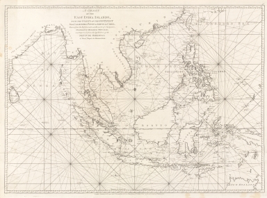
A chart of the East India Islands with the coasts of the continent from Caliminera Point to Amoye in China
Contributor
Anonymous
Type
Printed
Barcode
3687800301756B
Title
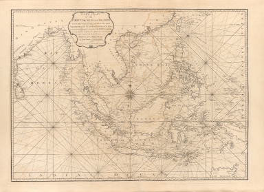
A new chart of the oriental seas and islands with the coasts of the continent from the Isle of Ceylon to Amoye in China
Contributor
[Après de Mannevillette, Jean-Baptiste-Nicolas-Denis d', 1707-1780, cartographer, Laurie & Whittle, publisher]
Type
Printed
Barcode
3687800317471C
Title
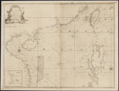
A new and correct chart of the coast of China : from latitude 12° north to 26° including Formosa, Hayman and the Philippine Islands.
Contributor
W. and J. Mount, T. and T. Page, 1747-1763, publisher, bookseller
Type
Printed
1-3 of 3
|


