Browse All
Printed 4687820500284 A new and accurate map of th … Bowen, Emanuel, ca. 1693-176 … |
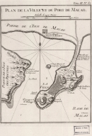
Printed 4687820500658 Plan de la ville et du port … Bellin, Jacques-Nicolas, 170 … |
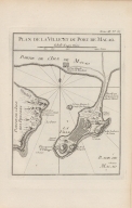
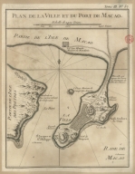
Printed 4687820500498 Plan de la ville et du port … Bellin, Jacques-Nicolas, 170 … |
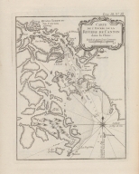
Printed 4687820500010 Carte de l'entrée de la rivi … Bellin, Jacques-Nicolas, 170 … |
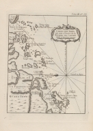
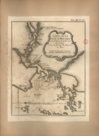
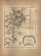
Printed 4687820500008 Carte des Isles qui sont a l … Bellin, Jacques-Nicolas, 170 … |
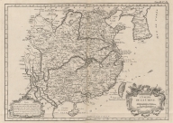
Printed 4687820500202 L'Empire de la Chine Bellin, Jacques-Nicolas, 170 … |
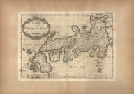
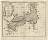
Printed 3687800354418E Carte de l'Empire du Japon Bellin, Jacques-Nicolas, 170 … |
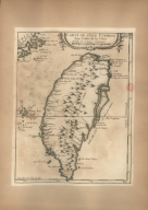
Printed 3687800354419F Carte de l'Isle Formose aux … Bellin, Jacques-Nicolas, 170 … |
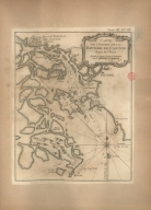
Printed 3687800354423A Carte de la Baye d'Hocsieu e … Bellin, Jacques-Nicolas, 170 … |
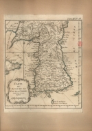
Printed 36878003544218 Carte du royaume de Kau-li o … Bellin, Jacques-Nicolas, 170 … |
Printed 3687800354416C Carte de l'entrée de la rivi … Bellin, Jacques-Nicolas, 170 … |
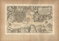
Printed 3687800354425C Plan du port et de la ville … Bellin, Jacques-Nicolas, 170 … |
Manuscripts 36878003544229 Isle de Cheu-Chan ou Isle Ch … Bellin, Jacques-Nicolas, 170 … |
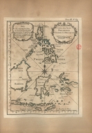
Printed 3687800354414A Carte des Isles Philippines … Bellin, Jacques-Nicolas, 170 … |
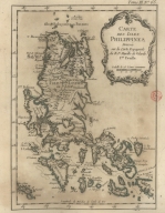
Printed 3687800354454E Carte des Isles Philippines … [Bellin, Jacques-Nicolas, 17 |
Printed 3687800371219C Plan de la ville et du port … Bellin, Jacques-Nicolas, 170 … |
Manuscripts 3687800354681G Carte d'une partie de la côt … Dalrymple, Alexander, 1737-1 … |

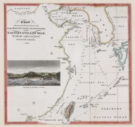
Printed 4687820500218 A chart of the China Sea : i … [Dalrymple, Alexander, 1737- |
Printed 36878003542148 Sketch of the Typa and Macao [Harrison, William, 17---ca. |
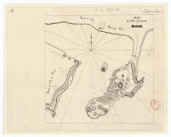
Printed 4687820500663 A plan of the city and harbo … Baker, Benjamin, fl. 1766-18 … |
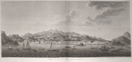
Printed 36878003712147 View of the city of Macau fr … [Tilesius von Tilenau, Wilhe |
Printed 4687820500852 Chart shewing the track & di … [Murray, John, 1778-1843, au |
Manuscripts 4687820501168 Plan de la ville et des envi … Dupont, Paul-François, 1796- … |
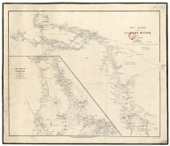
Manuscript 3687800354609G Chu-Kiang or Canton River fr … |
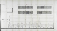
Printed Curvas mareometricas e mareo … Portugal. Imprensa Nacional, … |
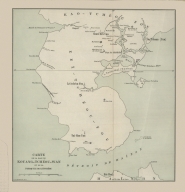
Printed [Fundos do porto de Macau e … Portugal. Imprensa Nacional, … |
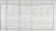
Printed [Curvas de marés e perfis in … Portugal. Imprensa Nacional, … |
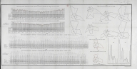
Printed [Curvas das pressões baromét … Portugal. Imprensa Nacional, … |
Printed 3687800354433B Carte de la baie de Kouang-T … L.L. Poates Engr'g Co., prin … |
Printed 36878003544308 Map of the Eastern portion o … [Veber, Karl Ivanovič, 1841- |
Printed 3687800354428F Territory leased to Russia ( … [Veber, Karl Ivanovič, 1841- |
Printed 36878003544319 Railway map of China : Pekin … [United States. Bureau of Fo |
Printed 3687800354432A Hong Kong extension : reprod … L.L. Poates Engr'g Co., prin … |
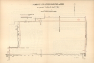
Printed 3687800354435D Peking legation boundaries : … |
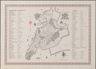
Printed 3687800371238D Roteiro da cidade de Macau = … [Portugal. Imprensa Nacional |
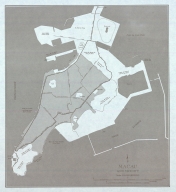
Printed 36878003712439 Macau and vicinity United States. Army Map Serv … |
Printed 3687800285630D Ebstorf mappamundi [Gervase, of Tilbury, ca. 11 |
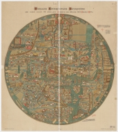
Printed 3687800354588M Ebstorf Map [Gervase, of Tilbury, ca. 11 |
Printed 36878002400386 Hereford Mappa Mundi Ricardus, de Bello, fl. 1276 … |
Manuscripts 4687820501068 Nautical chart of the Easter … Soler, Guillem, fl.1380-1385 … |
Manuscripts 3687800354662F Nautical chart of the Medite … Roselli, Pietro, fl. 1446-14 … |
Manuscripts 3687800354085E [Portolan chart] |
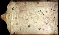
Manuscripts 3687800354663G Caverio, Nicolo di, fl. 1502 … |
Manuscripts 687800354663G Caverio, Nicolo di, fl. 1502 … |
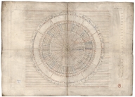
Manuscripts 36878003546108 Disc of 495 mm diameter Homem, Diogo, ca. 1520-1576, … |
Manuscripts 36878003546119 Disc of 460 mm diameter. Homem, Diogo, ca. 1520-1576, … |
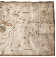
Manuscripts 3687800354613B Mediterranean Sea, Black Sea … Homem, Diogo, ca. 1520-1576, … |
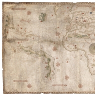
Manuscripts 687800354612A North Indian Ocean, China Se … Homem, Diogo, ca. 1520-1576, … |
Manuscripts 3687800354615D North Atlantic Ocean Homem, Diogo, ca. 1520-1576, … |
Manuscripts 3687800354617F Caribbean Sea and South Atla … Homem, Diogo, ca. 1520-1576, … |