WHO
WHEN
|
Barcode
4687820500132
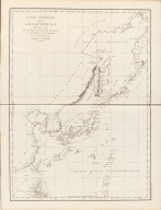
Title
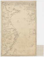
Carte Générale Des Découvertes faites en 1787 dans les Mers De Chine et De Tartarie ou depuis Manille jusqu'à Avatscha : par les Frégates Françaises la Boussole et l'Astrolabe
Contributor
La Pérouse, Jean-François de Galaup, comte de, 1741-1788
Type
Printed
Barcode
4687820500208
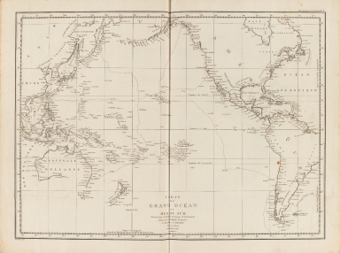
Title
Carte du Grand Océan ou Mer du Sud : dressée pour la Relation du voyage de découvertes faites par les frégates françaises la Boussole et l'Astrolabe dans les années 1785, 86, 87, et 88
Contributor
La Pérouse, Jean-François de Galaup, comte de, 1741-1788
Type
Printed
Barcode
4687820500209
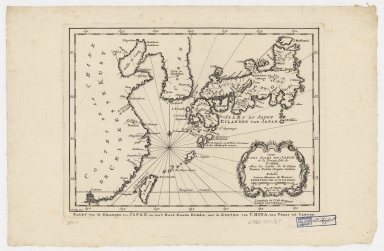
Title
Carte des isles du Japon et la presqu'isle de Coree, avec les costes de la Chine depuis Pekin jusqu'a Canton = Kaart van de Eilanden van Japan, en van't Half-Eiland Koréa ; met de Kusten van China van Pekin tot Canton
Contributor
[Bellin, Jacques Nicolas, 1703-1772, Schley, Jacobus van der, 1715-1779]
Type
Printed
Barcode
4687820501107
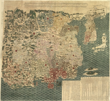
Title
天下輿地圖 = Carte de l'Empire chinois
Contributor
王泮
Type
Manuscripts
Barcode
4687820500295
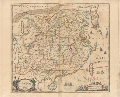
Title
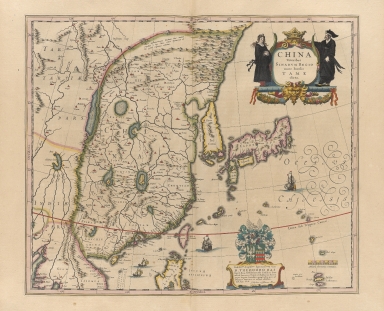
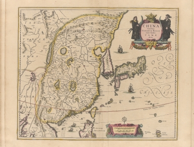
China veteribus sinarum regio nunc incolis tame dicta
Contributor
Blaeu, Joan, 1596-1673
Type
Printed
Barcode
4687820500297
Title
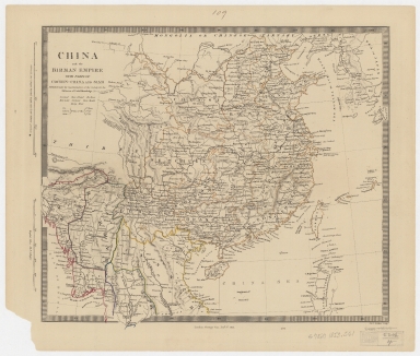
China and the Birman empire : with parts of Cochin-China and Siam
Contributor
Society for the Diffusion of Useful Knowledge (Great Britain)
Type
Printed
Barcode
4687820500320
Title
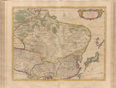
Tabula Tartariae et majoris partis regni Chinae
Contributor
Wit, Frederik de
Type
Printed
Barcode
4687820500327
Title
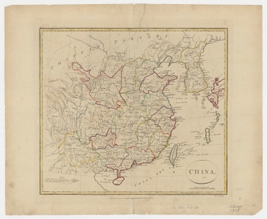
China
Contributor
[Longman & Co., Neele, Samuel John, 1758-1824]
Type
Printed
Barcode
4687820500338
Title
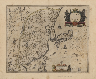
China veteribus sinarum regio nunc incolis tame dicta
Contributor
Jansson, Jan, 1588-1664
Type
Printed
Barcode
4687820500344
Title
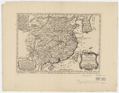
L'empire de la Chine pour servir a l'Histoire generale des voyages = Keizerryk van China, om te dienen tot de Historische Beschryving der Reizen
Contributor
[Bellin, Jacques Nicolas, 1703-1772, Schley, Jacobus van der, 1715-1779]
Type
Printed
Barcode
4687820500351
Title
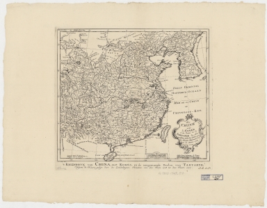
La Chine avec la Korée, et les parties de la Tartarie les plus voisines : tirées des cartes que les Jesuites Missionaires ont levées les années 1708, jusqu'en 1717 = Keyzerryk van China, met Korea, en de aangrenzende deelen van Tartarye
Contributor
[Bellin, Jacques Nicolas, 1703-1772, Hondt, Pieter de, Schley, Jacobus van der, 1715-1779]
Type
Printed
Barcode
4687820500325
Title
China veteribus Sinarum Regio nunc incolis Tame dicta
Contributor
Jansson, Jan, 1588-1664
Type
Printed
Barcode
4687820500035
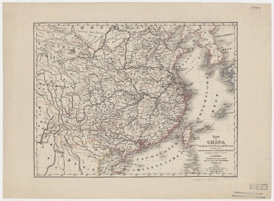
Title
Karte von China mit dessen Eintheilung in 18 Provinzen
Contributor
[Roost, J. B., Grasmüller, D.]
Type
Printed
Barcode
4687820500380
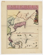
Title
Carte de la Mer du Sud et de la Mer du Nord : ou se trouve les costes d'Amerique, d'Asie, d'Europe et d'Afrique situées sur ces mers. Part 1
Contributor
Fer, Nicolas de, 1646-1720
Type
Printed
Barcode
4687820500391
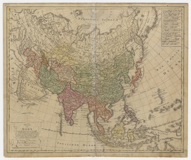
Title
Charte von Asien : nach den bewährtesten astronomischen Beobachtungen den neuesten Reisen, und den vorzüglichsten Charten, insonderheit aber der Geographie de Hrn I.C. Gatterers. gemäss
Contributor
[Güssefeld, F. L. (Franz Ludwig), 1744-1807, Homann Erben (Firm)]
Type
Printed
Barcode
4687820500028
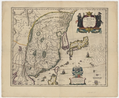
Title
China veteribus Sinarum Regio nunc incolis Tame dicta
Contributor
Blaeu, Joan, 1596-1673
Type
Printed
Barcode
4687820500422
Title
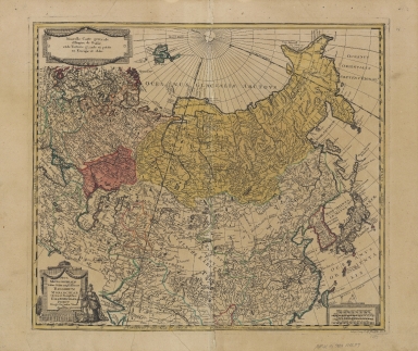
Nova mappa generalis totius orbis amplissimae Russorum Monarchiae = Nouvelle carte d'Empire de Russie et de Tartarie, grande et petite en Europe et en Asie
Contributor
[Probst, Johann Michael, -1809, Probst, Johann Georg, 1759-1809]
Type
Printed
Barcode
4687820500426
Title
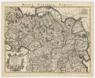
Carte de Tartarie : dressée sur les Relations de plusieurs Voyageurs de differentes Nations et sur quelques Observations qui ont été faites dans ce païs la
Contributor
[L'Isle, Guillaume de, 1675-1726, Cóvens et Mortier]
Type
Printed
Barcode
4687820500427
Title
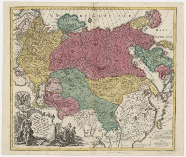
Spatiosissimum Imperium Russiae magnae iuxta recentissimas observationes mappa geographica
Contributor
Lotter, Tobias Conrad, 1717-1777
Type
Printed
Barcode
4687820500441
Title
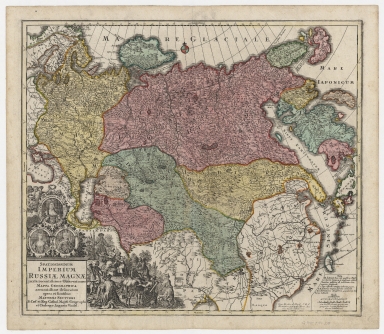
Spatiosissimum imperium Russiæ Magnæ, iuxta recentissimas observationes, mappa geographica accuratissime delineatum
Contributor
Seutter, Matthaeus, 1678-1756
Type
Printed
Barcode
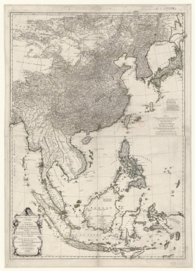
4687820500446
Title
Seconde partie de la carte d'Asie : contenant la Chine, et partie de la Tartarie, l'Inde au delà du Gange, les isles Sumatra, Java, Borneo, Moluques, Philippines et du Japon : publiée sous les auspices de Monsigneur Louis Phillippe D’Orléans, Duc D’Orléans, premier prince du sang
Contributor
[Anville, Jean Baptiste Bourguignon d', 1697-1782, Haye, G. de la]
Type
Printed
Barcode
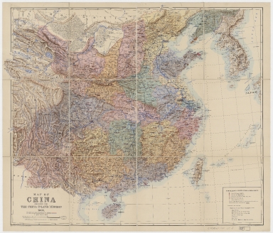
4687820500449
Title
A map of China : prepared for the China Inland Mission, 1905
Contributor
[China Inland Mission, Bretschneider, E., 1833-1901, Edward Stanford Ltd.]
Type
Printed
Barcode
4687820500480
Title
Imperii Sinarum nova descriptio
Contributor
Loon, J. van, approximately 1611-1686
Type
Printed
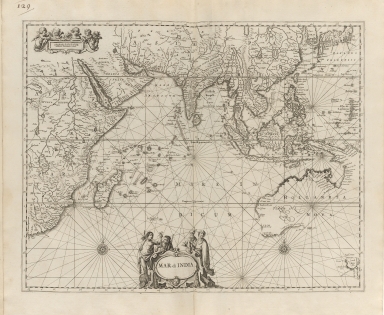
Barcode
4687820500489
Title
Mar di India
Contributor
Anonymous
Type
Printed
Barcode
4687820500500
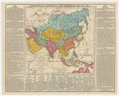
Title
Asia, drawn from the best authorities : for the elucidation of Lavoisne's genealogical, historical, chronological, & geographical atlas
Contributor
Aspin, Jehoshaphat, active 18th century-19th century
Type
Printed
Barcode
4687820500523
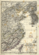
Title
Karte vom östlichen China & Korea zur Übersicht der chinesischen Dialekte nach Edkins und der Reisen von Oxenham & Markham 1868-69
Contributor
[Petermann, A. (August), 1822-1878, Debes, E. (Ernst), 1840-1923]
Type
Printed
Barcode
4687820500527
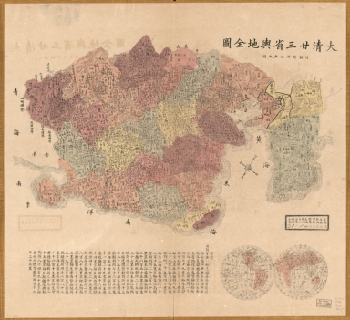
Title
大清廿三省與地全圖 ; 附朝鮮州道與地圖 = Complete map of the twenty-three provinces of the great Qing Dynasty with a provincial map of Korea
Contributor
Anonymous
Type
Printed
Barcode
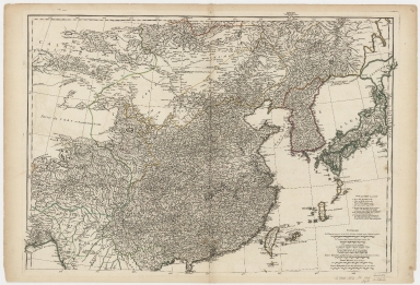
4687820500002
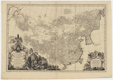
Title
d'Anville map of Chinese Empire
Contributor
Anville, Jean Baptiste Bourguignon d', 1697-1782
Type
Printed
Barcode
4687820500853
Title
Asia Corrected, According to the latest Discoveries & Observations Communicated to the Royal Society of London and the Royal Academy of Paris.
Contributor
Bowel, Emanuel, d. 1757
Type
Printed
Barcode
4687820500855
Title
Map of the western Pacific ocean and the Asiatic coast
Contributor
Anonymous
Type
Printed
Barcode
4687820500122
Title
[Northeastern Asia]
Contributor
Anville, Jean Baptiste Bourguignon d', 1697-1782
Type
Printed
Barcode
4687820500131
Title
Carte des côtes de l'Amérique et de l'Asie : depuis la Californie jusqu'à Macao
Contributor
La Pérouse, Jean-François de Galaup, comte de, 1741-1788
Type
Printed
Barcode
4687820500108
Title
The Nauigation of the Portingales into the East Indies, containing their trauels by Sea, into East India, and from the East Indies into Portingall, also from the Portingall Indies to Malacca, China, Iapon, the Islands of Iaua and Sunda ...
Contributor
[Wolfe, John, Phillip, William, Linschoten, Jan Huygen van, 1563-1611]
Type
Printed
Barcode
4687820500450
Title
To John Reeves Esq.re F.R.S. for the liberal aid of his Chinese m.s.s. and the benefit derived from his excellent map of that Empire presented by him to the Hon.ble East India Company this Chart of the East Coast of China
Contributor
[Horsburgh, James, 1762-1836, author, publisher, J. & C. Walker (Firm), engraver, Ross, Daniel, 1780-1849, cartographer, Hall, Basil, 1788-1844, cartographer, Crawford, James H., fl. 18--, cartographer, Rancliffe, George Augustus Henry Anne Parkyns, Baron, 1785-1850, cartographer, Rees, Thomas, 1790-1870, cartographer, Dayot, Félix, 1772-1821, cartographer, Sturgis, Josiah, 1773-1850, cartographer, Rees, John, 1752-18--, cartographer, Hoskiaer, Jacob, 1808-1836, cartographer, Dalrymple, Alexander, 1737-1808, bibliographic antecedent, Reeves, John, 1774-1856, dedicatee]
Type
Printed
Barcode
4687820500852
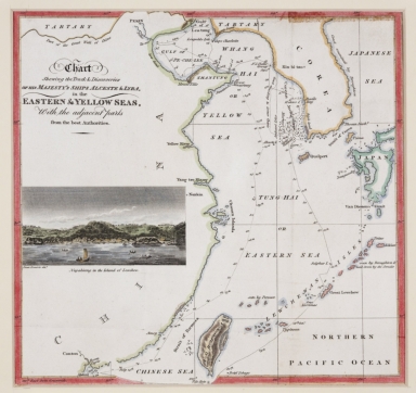
Title
Chart shewing the track & discoveries of his Majesty's ships Alceste & Lyra, in the Eastern & Yellow Seas, with the adjacent parts from the best authorities.
Contributor
[Murray, John, 1778-1843, author, printer, Dwarris, Fortunatus, Sir, 1786-1860, illustrator]
Type
Printed
Barcode
4687820500248
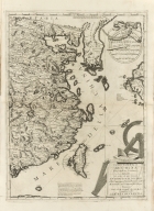
Title
Parte orientale della China : divisa nelle sue Provincie, se dedicata al motto rev. Padre Antonio Baldigiani della Compagnia di Gesù
Contributor
Coronelli, Vincenzo, 1650-1718, cartographer
Type
Printed
Barcode
4687820501195
Title
[Carte côtes de la Chine]
Type
Manuscripts
Barcode
4687820501246
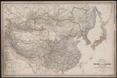
Title
Karte von China und Japan : den manen D'Anville's und Klapproth's gewidmet
Contributor
[Mädel, Carl Joseph, fl. 1819-1859, engraver, Justus Perthes (Firm : Gotha, Germany), publisher]
Type
Printed
Barcode
4687820501071
Title
Seconde partie de la carte d'Asie : contenant la Chine, et partie de la Tartarie, l'Inde au delà du Gange, les Isles Sumatra, Java, Borneo, Moluques, Philippines et du Japon. Publiée sous les auspices de Monseigneur Louis-Philippe D'Orléans, Duc D'Orléans, prémier Prince du Sang
Contributor
Anville, Jean Baptiste Bourguignon d', 1697-1782, cartographer
Type
Manuscripts
Barcode
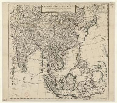
4687820501075
Title
Carte des Indes et de la Chine : dressée sur plusieurs relations particulières rectifiées par quelques observations
Contributor
[Delisle, Guillaume, 1675-1726, cartographer, publisher, Renard, Louis, ca. 1678-1746, publisher]
Type
Manuscripts
Barcode
4687820501030
Title
[Carte de l'Océan Indien, des cotes de l'Afrique et de l'Asie depuis le cap de Bonne-Espérance jusqu'au Japon]
Contributor
Albernaz, João Teixeira, fl. 1602-1649, cartographer
Type
Manuscripts
Barcode
4687820501007
Title
[[Carte portugaise de la mer des Indes entre le Cap de Bonne Espérance et le Cap Comorin] ; [Carte portugaise de la mer qui comprend le Golfe du bengale, les côtes de la Chine et les îles du Japon, Philippines, de la Sonde et Moluques], [Carte portugaise de la mer qui comprend le Golfe du bengale, les côtes de la Chine et les îles du Japon, Philippines, de la Sonde et Moluques]]
Contributor
Albernaz, João Teixeira, fl. 1602-1649, cartographer
Type
Printed
Barcode
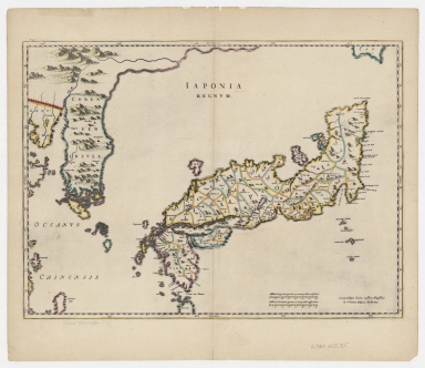
4687820500360
Title
Japonia Regnum
Contributor
Blaeu, Joan, 1596-1673, author, publisher
Type
Printed
Barcode
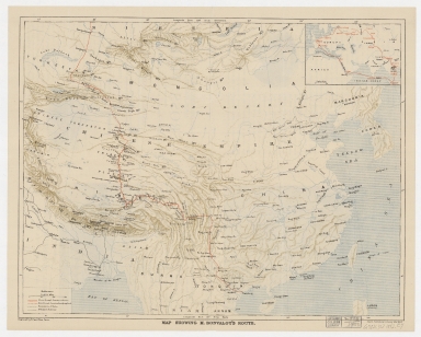
4687820500335
Title
Map showing M. Bonvalot's route
Contributor
Erhard Bros. (Firm), engraver
Type
Printed
Barcode
4687820501105
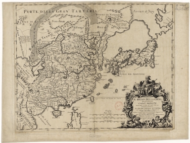
Title
Il regno della China detto presentemente Catay, e Mangin, diviso sopra le Carte piú esatte nelle sue Principle Provincie
Contributor
[Cantelli, Giacomo, 1643-1695, cartographer, Grueber, Johann, 1623-1680 bibliographic antecedent, Góis, Bento de, 1562-1607, bibliographic antecedent, Martini, Martino, 1614-1661, bibliographic antecedent, Tavernier, Jean-Baptiste, 1605-1689, bibliographic antecedent, Widman, Georgio, fl. 1705, engraver, Rossi, Giovanni Giacomo de, 1627-1691, printer]
Type
Printed
Barcode
4687820500914
Title
[East Indies, including a large "Java Maior" (Australia?) and coast of Asia]
Contributor
[Oliva, Bartolomeo, 1538-1588, cartographer, Phillipps, Thomas, Sir, 1792-1872, former owner]
Type
Manuscripts
Barcode
4687820500202
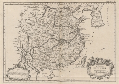
Title
L'Empire de la Chine
Contributor
Bellin, Jacques-Nicolas, 1703-1772, cartographer
Type
Printed
Barcode
3687800354316B
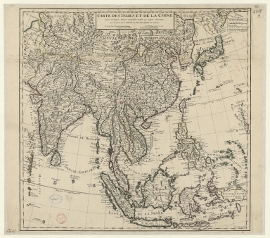
Title
Carte des Indes et de la Chine : dressée sur plusieurs relations particulières rectifiées par quelques observations
Contributor
[Delisle, Guillaume, 1675-1726, publisher, Renard, Louis, ca. 1678-1746, publisher]
Type
Printed
Barcode
3687800354434C
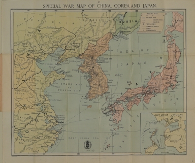
Title
Special war map of China, Corea, and Japan.
Contributor
George Philip & Son, author, publisher
Type
Printed
Barcode
36878003544319
Title
Railway map of China : Peking, Oct. 1918
Contributor
[United States. Bureau of Foreign and Domestic Commerce, author, Whitham, Paul Page, 1878-1941, author, L.L. Poates Engr'g Co., printer]
Type
Printed
|
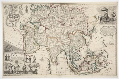
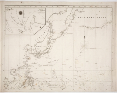
![[Northeastern Asia]](http://lunamap.must.edu.mo:80/MediaManager/srvr?mediafile=/Size1/MUST~2~2/41/G7800_1750_A5%C3%A5%C2%89%C2%AF%C3%A6%C2%9C%C2%AC.jpg)
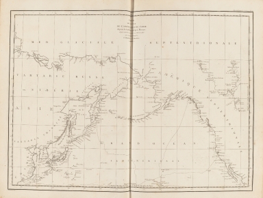
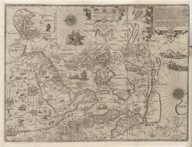
![[Carte côtes de la Chine]](http://lunamap.must.edu.mo:80/MediaManager/srvr?mediafile=/Size2/MUST~2~2/63/GE+SH+18+PF+181+P+12+D_Carte+C%C3%83%C2%B4tes+de+la+Chine.jpg)
![[Carte de l'Océan Indien, des cotes de l'Afrique et de l'Asie depuis le cap de Bonne-Espérance jusqu'au Japon]](http://lunamap.must.edu.mo:80/MediaManager/srvr?mediafile=/Size2/MUST~2~2/54/GE+SH+18+PF+213+DIV+3+P+2-2.jpg)
![[[Carte portugaise de la mer des Indes entre le Cap de Bonne Espérance et le Cap Comorin] ; [Carte portugaise de la mer qui comprend le Golfe du bengale, les côtes de la Chine et les îles du Japon, Philippines, de la Sonde et Moluques], [Carte portugaise de la mer qui comprend le Golfe du bengale, les côtes de la Chine et les îles du Japon, Philippines, de la Sonde et Moluques]]](http://lunamap.must.edu.mo:80/MediaManager/srvr?mediafile=/Size2/MUST~2~2/54/GE+DD-2987+Carte+portugaise+de+la+mer+des+Indes+-2+.jpg)
![[East Indies, including a large "Java Maior" (Australia?) and coast of Asia]](http://lunamap.must.edu.mo:80/MediaManager/srvr?mediafile=/Size2/MUST~2~2/45/000358.jpg)
