|
|
REFINE
Browse All : Sea Charts and China -- Maps and Manuscripts of Vietnam and Philippines and China and Paracel Islands
1-5 of 5
Barcode
3687800354506C
Title
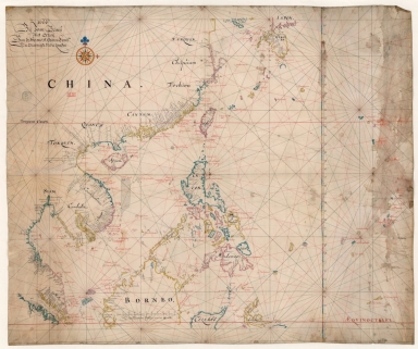
Map of the China Sea
Contributor
Blaeu, Joan, 1596-1673, cartographer
Type
Manuscripts
Barcode
3687800317478J
Title
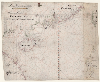
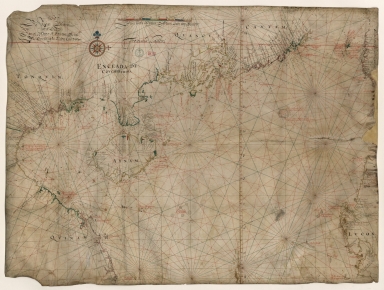
Dutch nautical chart of the 18th century, including the coasts of Annam, Tonkin, China, Hainan Island and part of Luzon
Contributor
Saffroy, Amand, 1844-1905, former owner
Type
Manuscripts
Barcode
3687800317483F
Title
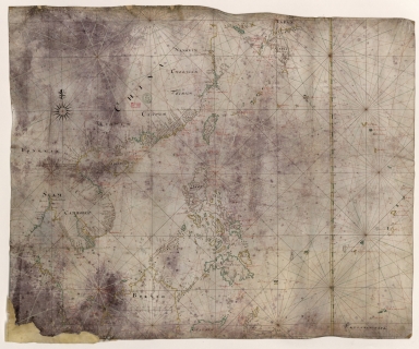
Dutch Chart of the China Sea
Type
Manuscripts
Barcode
3687800354228D
Title
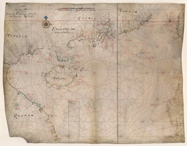
Gulf of Tonkin
Contributor
Blaeu, Joan, 1596-1673, cartographer
Type
Manuscripts
1-5 of 5
|
