Browse All
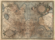
Printed 3687800354446F Map of Tartaria or the kingd … [Ortelius, Abraham, 1527-159 |
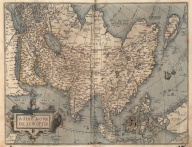
Printed 3687800354448H A New Depiction of Asia. [Ortelius, Abraham, 1527-159 |
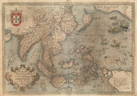
Printed 3687800354449I A map of the East Indies and … [Ortelius, Abraham, 1527-159 |
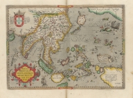
Printed 3687800301587D A map of the East Indies and … [Ortelius, Abraham, 1527-159 |
Printed 3687800354095F Tabula geograph. in qua Euro … [Pontanus, Johannes Isacius, |
Printed 36878003544117 Map of Tartaria or the kingd … [Ortelius, Abraham, 1527-159 |
Printed 3687800354467I Asia carta di ciasete piu mo … [Dudley, Robert, Sir, 1574-1 |
Printed 3687800354466H Particular map of Malacca wi … [Dudley, Robert, Sir, 1574-1 |
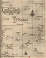
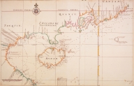
Printed 3687800354465G Particular map of the Sea an … [Dudley, Robert, Sir, 1574-1 |
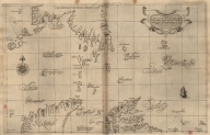
Printed 3687800354464F Particular map of the sea of … [Dudley, Robert, Sir, 1574-1 |
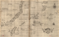
Printed 3687800354463E Particular map of Philippine … [Dudley, Robert, Sir, 1574-1 |
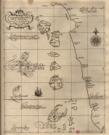
Printed 3687800354462D Particular map of the Strait … [Dudley, Robert, Sir, 1574-1 |
Printed 3687800354461C Particular map of the Ladrõe … [Dudley, Robert, Sir, 1574-1 |
Printed 3687800354460B Particular map of the southe … [Dudley, Robert, Sir, 1574-1 |
Printed 3687800354459J Particular map of a part of … [Dudley, Robert, Sir, 1574-1 |
Printed 3687800354458I Particular map of the 6 isla … [Dudley, Robert, Sir, 1574-1 |
Printed 3687800354456G Particular map of the Great … [Dudley, Robert, Sir, 1574-1 |
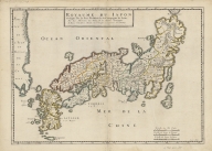
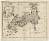
Printed 4687820500503 Royaume du Japon [Briet, Philippe, 1601-1668, |
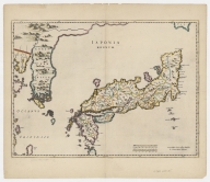
Printed 4687820500360 Japonia Regnum Blaeu, Joan, 1596-1673, auth … |
Printed 3687800354436E The Eastern part of East Ind … Doncker, Hendrick, 1626-1699 … |
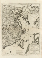
Printed 3687800317486I [Kaart van de kusten van Ton … [Vinckeboons, Joan, 1617-167 |
Printed 3687800354234A Consult the numbers in the c … Vinckeboons, Joan, 1617-1670 … |
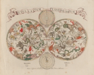
Printed 3687800239567L Stellatum planisphaerium Vlasbloem, Louis, fl. 1646-1 … |
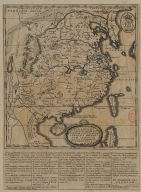
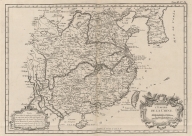
Printed 3687800354457H A Map of the 15 Provinces an … [Couplet, Philippe, 1623-169 |
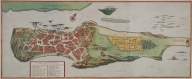
Printed 4687820500279 Kanton in platte grondt [Wolfgang, Abraham, fl. 1658 |
Printed 4687820500248 Parte orientale della China … Coronelli, Vincenzo, 1650-17 … |
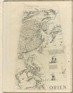
Printed 3687800301784C [Orien] Coronelli, Vincenzo, 1650-17 … |
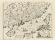
Printed 36878003016649 Quantung, e Fokien : provinc … Coronelli, Vincenzo, 1650-17 … |
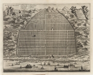
Printed 3687800354359I The city of Cha-Cho, the met … Walthoe, John, d. 1778, prin … |
Printed 4687820500524 Province de Quang-Tong Anville, Jean Baptiste Bourg … |
Printed 4687820500284 A new and accurate map of th … Bowen, Emanuel, ca. 1693-176 … |
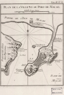
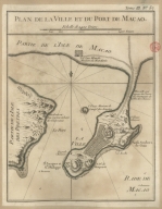
Printed 4687820500658 Plan de la ville et du port … Bellin, Jacques-Nicolas, 170 … |
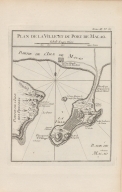
Printed 4687820500498 Plan de la ville et du port … Bellin, Jacques-Nicolas, 170 … |
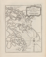
Printed 4687820500010 Carte de l'entrée de la rivi … Bellin, Jacques-Nicolas, 170 … |
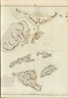
Printed 4687820500008 Carte des Isles qui sont a l … Bellin, Jacques-Nicolas, 170 … |
Printed 4687820500202 L'Empire de la Chine Bellin, Jacques-Nicolas, 170 … |
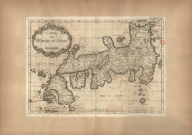
Printed 3687800354418E Carte de l'Empire du Japon Bellin, Jacques-Nicolas, 170 … |
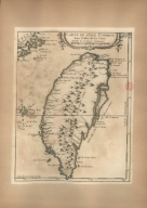
Printed 3687800354419F Carte de l'Isle Formose aux … Bellin, Jacques-Nicolas, 170 … |
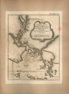
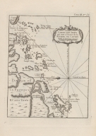
Printed 3687800354423A Carte de la Baye d'Hocsieu e … Bellin, Jacques-Nicolas, 170 … |
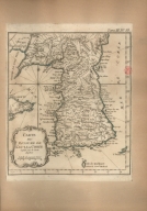
Printed 36878003544218 Carte du royaume de Kau-li o … Bellin, Jacques-Nicolas, 170 … |
Printed 3687800354416C Carte de l'entrée de la rivi … Bellin, Jacques-Nicolas, 170 … |
Printed 3687800354425C Plan du port et de la ville … Bellin, Jacques-Nicolas, 170 … |
Printed 3687800354414A Carte des Isles Philippines … Bellin, Jacques-Nicolas, 170 … |
Printed 3687800354454E Carte des Isles Philippines … [Bellin, Jacques-Nicolas, 17 |
Printed 3687800371219C Plan de la ville et du port … Bellin, Jacques-Nicolas, 170 … |

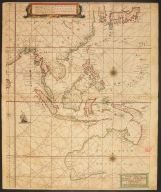
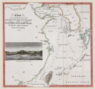
Printed 4687820500218 A chart of the China Sea : i … [Dalrymple, Alexander, 1737- |
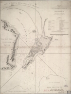
Printed 36878003542148 Sketch of the Typa and Macao [Harrison, William, 17---ca. |
Printed 4687820500663 A plan of the city and harbo … Baker, Benjamin, fl. 1766-18 … |
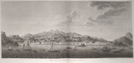
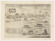
Printed 36878003712147 View of the city of Macau fr … [Tilesius von Tilenau, Wilhe |
Printed 4687820500852 Chart shewing the track & di … [Murray, John, 1778-1843, au |