|
REFINE
Browse All : Printed of Eastern Hemisphere
1-8 of 8
Barcode
4687820500262
Title
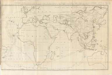
A general chart, on Mercator's projection, to shew the track of the Lion and Hindostan from England to the Gulph of Pekin in China, and of their return to England
Contributor
Barrow, John
Type
Printed
Barcode
4687820500280
Title
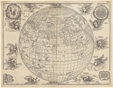
Eastern hemisphere of the terrestrial globe
Contributor
Stabius, Johannes, 1450-1522
Type
Printed
Barcode
4687820500433
Title
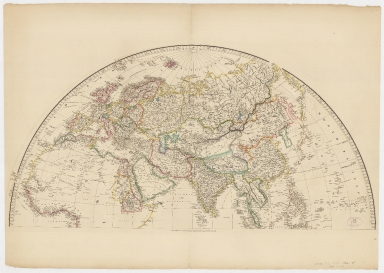
Map of the world on a globular projection : exhibiting particularly the nautical researches of Capn. James Cook, F.R.S. with all the recent discoveries to the present time.Part 2
Contributor
[Arrowsmith, Aaron, 1750-1823, Foot, T. (Thomas)]
Type
Printed
Barcode
4687820500432
Title
Map of the world on a globular projection : exhibiting particularly the nautical researches of Capn. James Cook, F.R.S. with all the recent discoveries to the present time.Part 1
Contributor
[Arrowsmith, Aaron, 1750-1823, Foot, T. (Thomas)]
Type
Printed
Barcode
4687820500435
Title
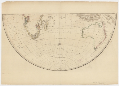
Map of the world on a globular projection : exhibiting particularly the nautical researches of Capn. James Cook, F.R.S. with all the recent discoveries to the present time.Part 4
Contributor
[Arrowsmith, Aaron, 1750-1823, Foot, T. (Thomas)]
Type
Printed
Barcode
4687820500434
Title
Map of the world on a globular projection : exhibiting particularly the nautical researches of Capn. James Cook, F.R.S. with all the recent discoveries to the present time.Part 3
Contributor
[Arrowsmith, Aaron, 1750-1823, Foot, T. (Thomas)]
Type
Printed
Barcode
4687820500792
Title
A general chart, on Mercator's projection, to shew the track of the Lion and Hindostan from England to the Gulph of Pekin in China, and of their return to England : with the daily statement of the barometer and thermometer as observed at noon: containing also the limits of the Chinese Empire as extended by the conquests of the present Emperor Tchien-Lung
Contributor
[Barrow, John, Baker, B. (Benjamin), active 1766-1824]
Type
Printed
Barcode
3687800354095F
Title
Tabula geograph. in qua Europae, Africae, Asiaeq[ue] et circujacentium insularum orae maritimae accuratè describuntur et ad intelligentia navigationum Indicaru[m] accommodantu
Contributor
[Pontanus, Johannes Isacius, 1571-1639, cartographer, Hondius, Jodocus, 1563-1612, engraver, printer]
Type
Printed
1-8 of 8
|

![Tabula geograph. in qua Europae, Africae, Asiaeq[ue] et circujacentium insularum orae maritimae accuratè describuntur et ad intelligentia navigationum Indicaru[m] accommodantu](http://lunamap.must.edu.mo:80/MediaManager/srvr?mediafile=/Size2/MUST~2~2/35/MAP+RM+3289.jpg)