REMOVEWHO
|
REFINE
Browse All : Manuscripts of China and Hainan Sheng (China)
1-25 of 25
Barcode
4687820500553
Title
海疆洋界形勢全圖.Part 1 = Coastal map of China.Part 1
Contributor
Anonymous
Type
Manuscripts
Barcode
4687820500554
Title
海疆洋界形勢全圖.Part 2 = Coastal map of China.Part 2
Contributor
Anonymous
Type
Manuscripts
Barcode
4687820500555
Title
海疆洋界形勢全圖.Part 3 = Coastal map of China.Part 3
Contributor
Anonymous
Type
Manuscripts
Barcode
4687820500556
Title
海疆洋界形勢全圖.Part 4 = Coastal map of China.Part 4
Contributor
Anonymous
Type
Manuscripts
Barcode
4687820500557
Title
海疆洋界形勢全圖.Part 5 = Coastal map of China.Part 5
Contributor
Anonymous
Type
Manuscripts
Barcode
4687820500558
Title
海疆洋界形勢全圖.Part 6 = Coastal map of China.Part 6
Contributor
Anonymous
Type
Manuscripts
Barcode
4687820500564
Title
海疆洋界形勢圖.Part 6
Contributor
Hummel, Arthur W. (Arthur William), 1884-1975
Type
Manuscripts
Barcode
4687820501195
Title
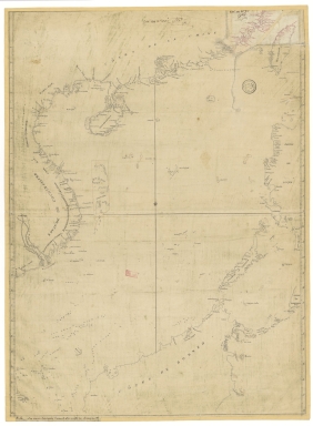
[Carte côtes de la Chine]
Type
Manuscripts
Barcode
3687800354286H
Title
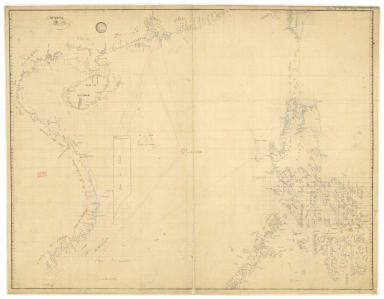
[Carte d'une partie de la mer de Chine]
Type
Manuscripts
Barcode
3687800354265E
Title
Tracé des routes, vray et estimée, de la résolution depuis Macao jusqu'a Pulo Timon.
Type
Manuscripts
Barcode
4687820501172
Title
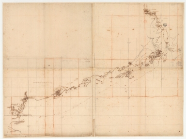
[Route de M. de Richery en 1787 de Pondichery a Canton]
Type
Manuscripts
Barcode
4687820501071
Title
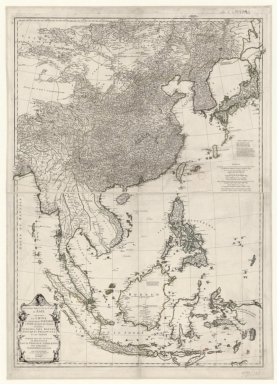
Seconde partie de la carte d'Asie : contenant la Chine, et partie de la Tartarie, l'Inde au delà du Gange, les Isles Sumatra, Java, Borneo, Moluques, Philippines et du Japon. Publiée sous les auspices de Monseigneur Louis-Philippe D'Orléans, Duc D'Orléans, prémier Prince du Sang
Contributor
Anville, Jean Baptiste Bourguignon d', 1697-1782, cartographer
Type
Manuscripts
Barcode
4687820501015
Title
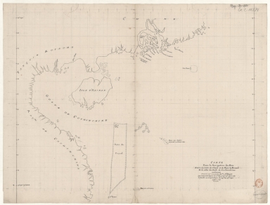
Carte pour la navigation des mers entre les cotes de Chine et du Blanc le Paracel et de celles du Golfe de Cochinchine : dressée sur une carte MS.te a M.r Bouvet qui contenoit depuis le 2.e deg. jusq.' 24.e dont cette 1.ere feuille ne comprend que du 24.e au 13.e degré.
Contributor
Bouvet, 16---17--, bibliographic antecedent
Type
Manuscripts
Barcode
4687820501075
Title
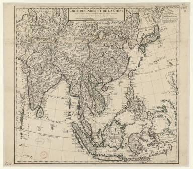
Carte des Indes et de la Chine : dressée sur plusieurs relations particulières rectifiées par quelques observations
Contributor
[Delisle, Guillaume, 1675-1726, cartographer, publisher, Renard, Louis, ca. 1678-1746, publisher]
Type
Manuscripts
Barcode
4687820501077
Title
Carte generale de la Chine : dressée sur les cartes particulieres que l'Empereur Cang-hi a fait lever sur les lieux par les RR. PP. Jesuites mission[n]aires dans cet Empire
Contributor
[Anville, Jean Baptiste Bourguignon d', 1697-1782, cartographer, Gravelot, Hubert-François, 1699-1773, illustrator, engraver, Delahaye, Jean Baptiste, fl. 1721-1723, engraver]
Type
Manuscripts
Barcode
4687820500981
Title
East Indian Ocean and China Sea
Contributor
Albernaz, João Teixeira, fl. 1602-1649, cartographer
Type
Manuscripts
Barcode
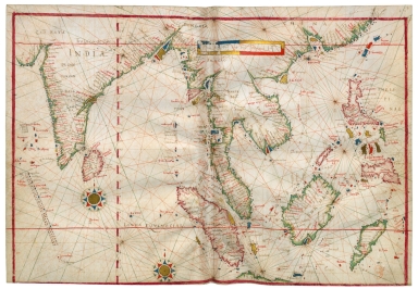
4687820500914
Title
[East Indies, including a large "Java Maior" (Australia?) and coast of Asia]
Contributor
[Oliva, Bartolomeo, 1538-1588, cartographer, Phillipps, Thomas, Sir, 1792-1872, former owner]
Type
Manuscripts
Barcode
3687800354243A
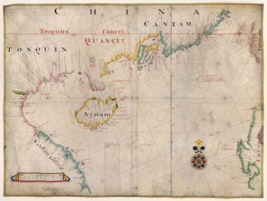
Title
[Quinam, Aynam]
Contributor
[Hacke, William, fl. 16--, cartographer, Sharpe, Bartholomew, fl. 1679-1682, author]
Type
Manuscripts
Barcode
3687800317478J
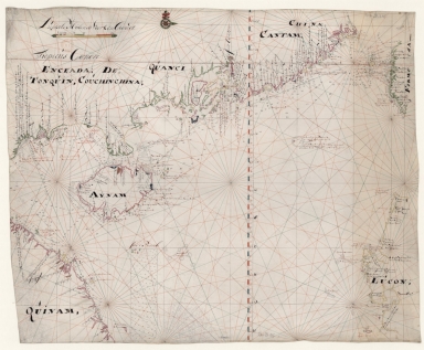
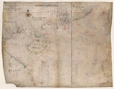
Title
Dutch nautical chart of the 18th century, including the coasts of Annam, Tonkin, China, Hainan Island and part of Luzon
Contributor
Saffroy, Amand, 1844-1905, former owner
Type
Manuscripts
Barcode
3687800354308C
Title
Gulf of Tonkin to Luzon and Formosa
Contributor
Thornton, John, 1641-1708, hydrographer
Type
Manuscripts
Barcode
3687800317483F
Title
Dutch Chart of the China Sea
Type
Manuscripts
Barcode
3687800354228D
Title
Gulf of Tonkin
Contributor
Blaeu, Joan, 1596-1673, cartographer
Type
Manuscripts
Barcode
3687800354262B
Title
Southern part of the China Se
Type
Manuscripts
Barcode
3687800354259H
Title
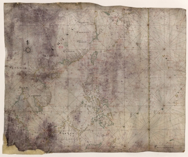
Chart of the seas of Canton to Cambodia and the Philippines
Type
Manuscripts
1-25 of 25
|


![[Carte côtes de la Chine]](http://lunamap.must.edu.mo:80/MediaManager/srvr?mediafile=/Size2/MUST~2~2/63/GE+SH+18+PF+181+P+12+D_Carte+C%C3%83%C2%B4tes+de+la+Chine.jpg)
![[Carte d'une partie de la mer de Chine]](http://lunamap.must.edu.mo:80/MediaManager/srvr?mediafile=/Size2/MUST~2~2/54/GE+SH+18+PF+182+P+11+D_Carte+d%27une+partie+de+la+mer+de+Chine.jpg)
![[Route de M. de Richery en 1787 de Pondichery a Canton]](http://lunamap.must.edu.mo:80/MediaManager/srvr?mediafile=/Size2/MUST~2~2/54/GE+SH+18+PF+182+P+6+D_Routes+de+M+de+Richery+en+1787.jpg)
![Carte generale de la Chine : dressée sur les cartes particulieres que l'Empereur Cang-hi a fait lever sur les lieux par les RR. PP. Jesuites mission[n]aires dans cet Empire](http://lunamap.must.edu.mo:80/MediaManager/srvr?mediafile=/Size2/MUST~2~2/54/GE+C-8817.jpg)
![[East Indies, including a large "Java Maior" (Australia?) and coast of Asia]](http://lunamap.must.edu.mo:80/MediaManager/srvr?mediafile=/Size2/MUST~2~2/45/000358.jpg)
![[Quinam, Aynam]](http://lunamap.must.edu.mo:80/MediaManager/srvr?mediafile=/Size2/MUST~2~2/325/3687800354243A%28ca000073X%29.jpg)
