|
REFINE
Browse All : China -- Maps and Sea Charts of Paracel Islands and Philippines and Vietnam and China and Hainan Sheng (China)
1-4 of 4
Barcode
3687800317478J
Title
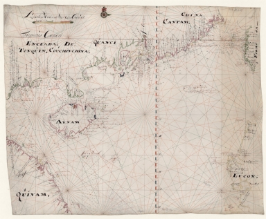
Dutch nautical chart of the 18th century, including the coasts of Annam, Tonkin, China, Hainan Island and part of Luzon
Contributor
Saffroy, Amand, 1844-1905, former owner
Type
Manuscripts
Barcode
3687800317483F
Title
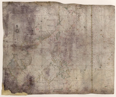
Dutch Chart of the China Sea
Type
Manuscripts
Barcode
3687800354228D
Title
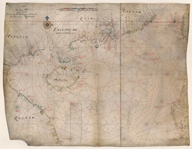
Gulf of Tonkin
Contributor
Blaeu, Joan, 1596-1673, cartographer
Type
Manuscripts
Barcode
4687820501175
Title
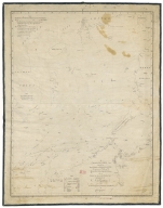
A chart of the China Sea : inscribed to Mons.r d'Aprés de Mannevillette the ingenious author of the Neptune Oriental, as a tribute due to his labours for the benefit of navigation, and in acknowledgment of his many signal favours to A. Dalrymple.
Contributor
[Dalrymple, Alexander, 1737-1808, hydrographer, Henry, B., fl. 1770-1775, engraver, Whitchurch, William, fl. 18th century, engraver, Lane, Bartholomew, fl. 19th century, engraver, Après de Mannevillette, Jean-Baptiste-Nicolas-Denis d', 1707-1780, dedicatee]
Type
Printed
1-4 of 4
|


