Search Results: All Fields similar to 'Macao in Routes'
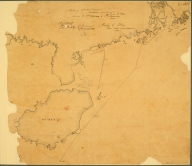
Manuscripts 4687820500517 China: Swatow. Track chart, … |
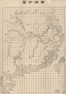
Printed 4687820500508 滇粤, 越南聯界與圖 湖北省 (中國). 官書局 |
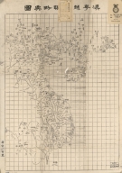
Printed 4687820500513 南洋分圖 = Coastal map of the So … 湖北省 (中國). 官書局 |
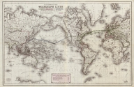
Printed 4687820500602 Map showing the telegraph li … [J.H. Colton & Co., Banks, N |
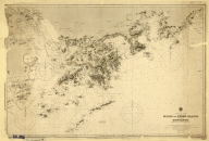
Printed 4687820500570 China. Sheet 1. Eastern Coas … Great Britain. Admiralty, Hy … |
Printed 4687820500541 廣東全省水陸與圖 = Map of the waterw … Li, Zhongpei, active 19th ce … |
Printed 3687800354468J Stanford's map of eastern Ch … Edward Stanford Ltd., author … |
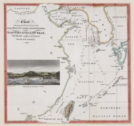
Printed 4687820500473 Stanford's map of the empire … Stanford, Edward, 1827-1904 |
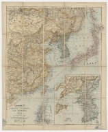
Printed 3687800354469K Stanford's map of Eastern Ch … Edward Stanford Ltd., author … |
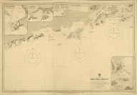
Printed 4687820500572 China. S.E. Coast. Macao to … Davies & Company |
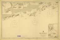
Printed 4687820500571 China-South Coast : Tien Pak … Davies & Company |
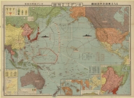
Printed 4687820500780 非常時國防一覧東亜太平洋地圖 = Hijōji kok … [Kingu henshūkyoku, Mori, Y |
Printed 4687820500573 China-South Coast : Tien Pak … Davies & Company |
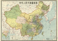
Printed 4687820500522 中華人民共和國掛圖 Di tu chu ban she |
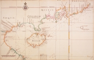
Printed 3687800317486I [Kaart van de kusten van Ton … [Vinckeboons, Joan, 1617-167 |
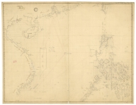
Manuscripts 3687800354259H Chart of the seas of Canton … |
Manuscripts 3687800354678M South China Coast from St. J … |
Printed 4687820500852 Chart shewing the track & di … [Murray, John, 1778-1843, au |
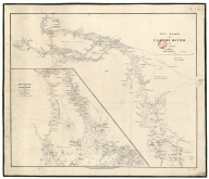
Manuscript 3687800354609G Chu-Kiang or Canton River fr … |
Manuscripts 3687800354265E Tracé des routes, vray et e … |
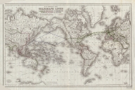
Printed 4687820500597 Map showing the telegraph li … [J.H. Colton & Co., author, |