|
REFINE
Search Results: All Fields similar to 'Macao in Routes' and Where equal to 'Taiwan'
1-13 of 13
Barcode
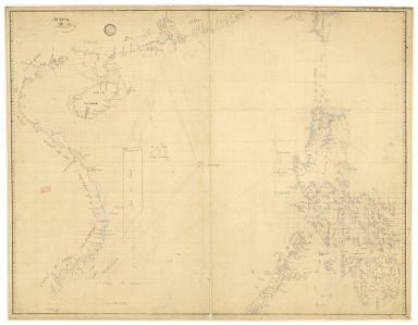
4687820501172
Title
[Route de M. de Richery en 1787 de Pondichery a Canton]
Type
Manuscripts
Barcode
3687800354259H
Title
Chart of the seas of Canton to Cambodia and the Philippines
Type
Manuscripts
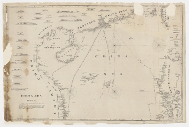
Barcode
4687820500105
Title
China Sea. Sheet II
Contributor
Horsburgh, James, 1762-1836, cartographer, publisher
Type
Printed
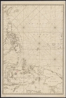
Barcode
3687800354289K
Title
To the Honorable the Court of Directors of the United Company of Merchants of England trading to the East Indies, this Chart of the China Seas
Contributor
[Heather, William, 1764-1812, hydrographer, Stephenson, John,, fl. 1791-1817, engraver, Norie, John William, 1772-1843, illustrator, Heather and Williams, publisher]
Type
Printed
Barcode
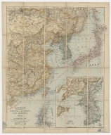
3687800354469K
Title
Stanford's map of Eastern China, Japan and Korea : 1898.
Contributor
Edward Stanford Ltd., author, publisher
Type
Printed
Barcode
3687800354468J
Title
Stanford's map of eastern China, Japan and Korea : the seat of war in 1894
Contributor
Edward Stanford Ltd., author, publisher
Type
Printed
Barcode
4687820500132
Title
Carte Générale Des Découvertes faites en 1787 dans les Mers De Chine et De Tartarie ou depuis Manille jusqu'à Avatscha : par les Frégates Françaises la Boussole et l'Astrolabe
Contributor
La Pérouse, Jean-François de Galaup, comte de, 1741-1788
Type
Printed
Barcode
4687820500578
Title
Kaart van een gedeelte der Chineese Zee en Kust, van Punta Lampa cao tot de Overveens Eilanden, het Eiland Formosa enz. Hierop komt mede voor de rivier van Canton, van den mond tot Fangsucis
Contributor
Anonymous
Type
Manuscripts
Barcode
4687820500131
Title
Carte des côtes de l'Amérique et de l'Asie : depuis la Californie jusqu'à Macao
Contributor
La Pérouse, Jean-François de Galaup, comte de, 1741-1788
Type
Printed
Barcode
36878003222402
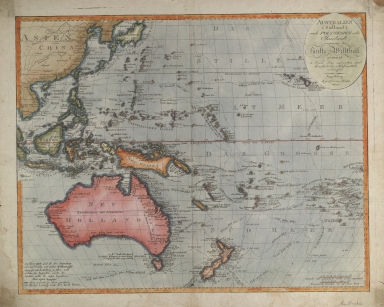
Title
Australien (Südland) auch Polynesien oder Inselwelt, insgemein der fünfte Welttheil genannt : nach den neuesten und bewährtesten Hülfsmitteln entworfen
Contributor
Walch, Johannes, 1757-1816, cartographer
Type
Printed
Barcode
4687820500336
Title
A new chart of the China Sea, with its several entrances : drawn from a great number of draughts, journals, and other National documents, regulated by astronomical observations
Contributor
[Laurie & Whittle, author, publisher, Larkins, John Pascal, 17---1794, cartographer, Rees, Captain, cartographer]
Type
Printed
Barcode
3687800354267G
Title
A new chart of the China Sea, with its several entrances : drawn from a great number of draughts, journals, and other National documents, regulated by astronomical observation
Contributor
[Laurie & Whittle, author, publisher, Larkins, John Pascal, 17---1794, cartographer, Rees, Captain, cartographer]
Type
Printed
Barcode
3687800301756B
Title
A new chart of the oriental seas and islands with the coasts of the continent from the Isle of Ceylon to Amoye in China
Contributor
[Après de Mannevillette, Jean-Baptiste-Nicolas-Denis d', 1707-1780, cartographer, Laurie & Whittle, publisher]
Type
Printed
1-13 of 13
|
![[Route de M. de Richery en 1787 de Pondichery a Canton]](http://lunamap.must.edu.mo:80/MediaManager/srvr?mediafile=/Size2/MUST~2~2/54/GE+SH+18+PF+182+P+6+D_Routes+de+M+de+Richery+en+1787.jpg)