|
REFINE
Search Results: All Fields similar to 'Macao in Routes' and What equal to 'Sea Charts' and What equal to 'Printed'
1-28 of 28
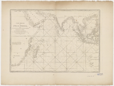
Barcode
4687820500444
Title
Carte réduite de l'ocean oriental depuis le Cap de Bonne Espérance jusqu'à l'isle Formose
Contributor
Après de Mannevillette, Jean-Baptiste-Nicolas-Denis d', 1707-1780
Type
Printed
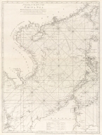
Barcode
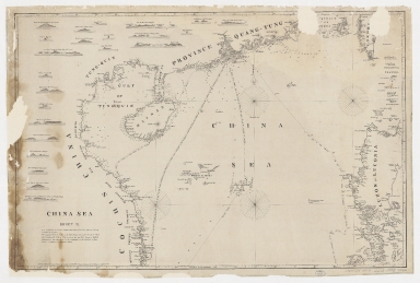
4687820500041
Title
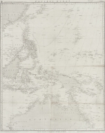
[Chart of the China Sea]
Contributor
Norie, J. W. (John William), 1772-1843
Type
Printed
Barcode
4687820500783
Title
A general chart of the China Sea : drawn from the journals of the European navigators, particularly from those collected by Capt. Hayter
Contributor
Anonymous
Type
Printed
Barcode
4687820500795
Title
Pacific Ocean : Chusan Islands to Shark Bay, Western Australia
Contributor
[Great Britain. Hydrographic Department, J. & C. Walker (Firm)]
Type
Printed
Barcode
4687820500380
Title
Carte de la Mer du Sud et de la Mer du Nord : ou se trouve les costes d'Amerique, d'Asie, d'Europe et d'Afrique situées sur ces mers. Part 1
Contributor
Fer, Nicolas de, 1646-1720
Type
Printed
Barcode
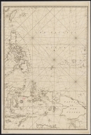
4687820500800
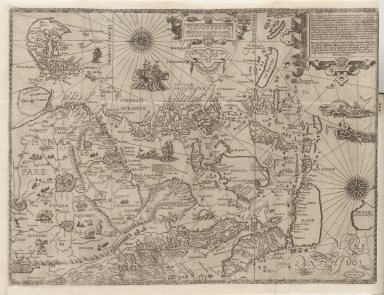
Title
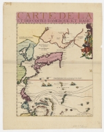
[Map of the East Indies]
Contributor
Anonymous
Type
Printed
Barcode
4687820500105
Title
China Sea. Sheet II
Contributor
Horsburgh, James, 1762-1836, cartographer, publisher
Type
Printed
Barcode
3687800354289K
Title
To the Honorable the Court of Directors of the United Company of Merchants of England trading to the East Indies, this Chart of the China Seas
Contributor
[Heather, William, 1764-1812, hydrographer, Stephenson, John,, fl. 1791-1817, engraver, Norie, John William, 1772-1843, illustrator, Heather and Williams, publisher]
Type
Printed
Barcode
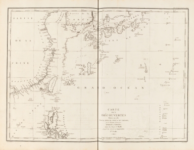
4687820500132
Title
Carte Générale Des Découvertes faites en 1787 dans les Mers De Chine et De Tartarie ou depuis Manille jusqu'à Avatscha : par les Frégates Françaises la Boussole et l'Astrolabe
Contributor
La Pérouse, Jean-François de Galaup, comte de, 1741-1788
Type
Printed
Barcode
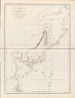
4687820500212
Title
Carte des découvertes faites en 1787 dans les mers de Chine et de Tartarie : par les frégates françaises la Boussole et l'Astrolabe, depuis leur départ de Manille jusqu'à leur arrivée au Kamtschatka
Contributor
La Pérouse, Jean-François de Galaup, comte de, 1741-1788
Type
Printed
Barcode
4687820500039
Title
Carte de l'entrée de la riviere de Canton : dressée sur les observations les plus récentes = Kaart van 't inkoomen der riviere van Kanton
Contributor
[Bellin, Jacques Nicolas, 1703-1772, Hondt, Pieter de, Schley, Jacobus van der, 1715-1779]
Type
Printed
Barcode
4687820500490
Title
Carte particulière de l'entrée de Canton
Contributor
Anonymous
Type
Printed
Barcode
4687820500131
Title
Carte des côtes de l'Amérique et de l'Asie : depuis la Californie jusqu'à Macao
Contributor
La Pérouse, Jean-François de Galaup, comte de, 1741-1788
Type
Printed
Barcode
4687820500574
Title
Chu-Kiang or Canton River from Boca Tigris to Canton
Type
Printed
Barcode
4687820500570
Title
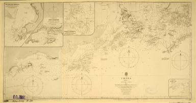
China. Sheet 1. Eastern Coast. From Hui Ling San Harbour to Hong Kong
Contributor
Great Britain. Admiralty, Hydrographic Office
Type
Printed
Barcode
4687820500572
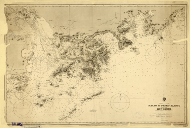
Title
China. S.E. Coast. Macao to Pedro Blanco, including Hongkong
Contributor
Davies & Company
Type
Printed
Barcode
4687820500571
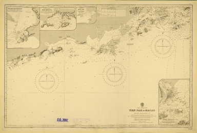
Title
China-South Coast : Tien Pak to Macao : from various sketch surveys 1807-1882
Contributor
Davies & Company
Type
Printed
Barcode
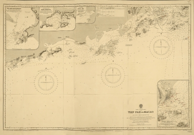
4687820500573
Title
China-South Coast : Tien Pak to Macao : from various sketch surveys 1807-1882
Contributor
Davies & Company
Type
Printed
Barcode
4687820500050
Title
China Sea. Sheet 1.st to James Drummond Esquire in acknowledgement for his laudable endeavours towards perfecting the navigation of the China Sea
Contributor
[Horsburgh, James, 1762-1836, cartographer, publisher, James Drummond, 8th Viscount Strathallan, 1767-1851, dedicatee]
Type
Printed
Barcode
3687800354287I
Title
To the Honorable the Court of Directors of the United Company of Merchants of England trading to the East Indies, this Chart of the China Seas
Contributor
[Heather, William, 1764-1812, hydrographer, Stephenson, John,, fl. 1791-1817, engraver, Norie, John William, 1772-1843, illustrator, Heather and Williams, publisher]
Type
Printed
Barcode
3687800285591J
Title
Mappemonde ou Carte réduite des parties connues du globe pour servir au voyage de La Pérouse, fait dans les années 1785, 86, 87, et 88.
Contributor
[La Pérouse, Jean-François de Galaup, comte de, 1741-1788, cartographer, Imprimerie de la République (France), 1795-1804, printer]
Type
Printed
Barcode
4687820500208
Title
Carte du Grand Océan ou Mer du Sud : dressée pour la Relation du voyage de découvertes faites par les frégates françaises la Boussole et l'Astrolabe dans les années 1785, 86, 87, et 88
Contributor
La Pérouse, Jean-François de Galaup, comte de, 1741-1788
Type
Printed
Barcode
4687820500211
Title
Carte d'une partie des côtes de la Chine et des Isles adjacentes : depuis l'Isle nommée la Pierre Blanche, jusqu'a celle de l'Artimon
Contributor
Dalrymple, Alexander, 1737-1808
Type
Printed
Barcode
4687820500108
Title
The Nauigation of the Portingales into the East Indies, containing their trauels by Sea, into East India, and from the East Indies into Portingall, also from the Portingall Indies to Malacca, China, Iapon, the Islands of Iaua and Sunda ...
Contributor
[Wolfe, John, Phillip, William, Linschoten, Jan Huygen van, 1563-1611]
Type
Printed
Barcode
4687820500336
Title
A new chart of the China Sea, with its several entrances : drawn from a great number of draughts, journals, and other National documents, regulated by astronomical observations
Contributor
[Laurie & Whittle, author, publisher, Larkins, John Pascal, 17---1794, cartographer, Rees, Captain, cartographer]
Type
Printed
Barcode
3687800354267G
Title
A new chart of the China Sea, with its several entrances : drawn from a great number of draughts, journals, and other National documents, regulated by astronomical observation
Contributor
[Laurie & Whittle, author, publisher, Larkins, John Pascal, 17---1794, cartographer, Rees, Captain, cartographer]
Type
Printed
Barcode
4687820500260
Title
A chart of the China Sea, and Philippine Islands with the Archipelagos of Felicia and Soloo : shewing the whole tract comprized, between Canton and Balambangan, with the soundings, shoals, rocks, & ca.
Contributor
Whittle & Laurie, publisher
Type
Printed
Barcode
3687800301756B
Title
A new chart of the oriental seas and islands with the coasts of the continent from the Isle of Ceylon to Amoye in China
Contributor
[Après de Mannevillette, Jean-Baptiste-Nicolas-Denis d', 1707-1780, cartographer, Laurie & Whittle, publisher]
Type
Printed
1-28 of 28
|
![[Chart of the China Sea]](http://lunamap.must.edu.mo:80/MediaManager/srvr?mediafile=/Size2/MUST~2~2/25/G7822_P4_1840_N6.jpg)
![[Map of the East Indies]](http://lunamap.must.edu.mo:80/MediaManager/srvr?mediafile=/Size2/MUST~2~2/41/RBRS+N+910.91+T418-69.jpg)