|
REFINE
Search Results: All Fields similar to 'Macao in East Indies Maps' and What equal to 'Sea Charts' and What equal to 'China -- Maps'
1-4 of 4
Barcode
36878003222312
Title
To the Society of Managing Owners of the Ships in the English East India Company's Service, This Chart of the China Sea, Including the Philippina Molluca and Banda Islands, Shewing al the same time all the Tracks into the Pacific Ocean, commonly known by the name of the Eastern Passage to China
Contributor
[Robertson, George, 1748-1788, cartographer, Harmer, Thomas, fl. 1784-1814, engraver]
Type
Printed
Barcode
3687800317483F
Title
Dutch Chart of the China Sea
Type
Manuscripts
Barcode
4687820501013
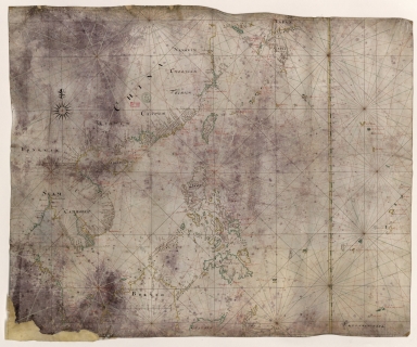
Title
[Observations publiées en 1646-1648 par Robert Dudley, Atlantique, Méditerranée, Océan Indien, Mer de Chine]
Contributor
[Delisle, Guillaume, 1675-1726, cartographer, Dudley, Robert, Sir, 1574-1649, bibliographic antecedent]
Type
Manuscripts
1-4 of 4
|

![[Observations publiées en 1646-1648 par Robert Dudley, Atlantique, Méditerranée, Océan Indien, Mer de Chine]](http://lunamap.must.edu.mo:80/MediaManager/srvr?mediafile=/Size2/MUST~2~2/54/ge+sh+18+pf+1+div+0+p+10-4.jpg)
