|
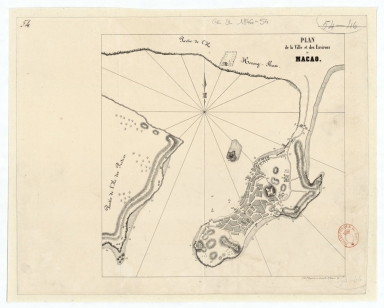
Barcode
4687820501168
Title
Plan de la ville et des environs de Macao
Contributor
Dupont, Paul-François, 1796-1879, lithographer
Type
Manuscripts
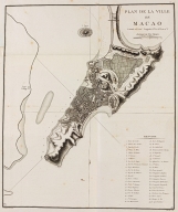
Barcode
3687800354497L
Title
Plan de la ville de Macao : latitude 22º 12' 44'', longitude à l'Est de Paris mº 5.
Contributor
[Guignes, Chrétien-Louis-Joseph de, 1759-1845, cartographer, Houdan, François d', 1747-1828, engraver]
Type
Printed
Barcode
3687800354478K
Title
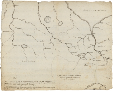
Tartaria Occidentalis : subjecta Imperatori Tartari Sinico in regulos 42 divisa.Tartaria Occidentalis : subjecta Imperatori Tartari Sinico in regulos 42 divisa.
Type
Manuscript
Barcode
3687800354480D
Title
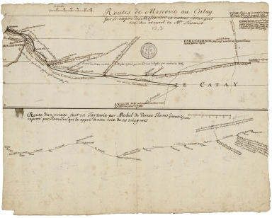
Routes de Moscovie au Catay sur le raport des Moscovites et autres étrangers : tiré du recueil de M.r Sevenot ; Route d'un voiage fait en Tartarie par Michl de Verone, Thomas Giunti & autres raporté par Ramusius qui l'a appris d'e vive voix de ces voiageurs.
Type
Manuscript
Barcode
3687800354481E
Title
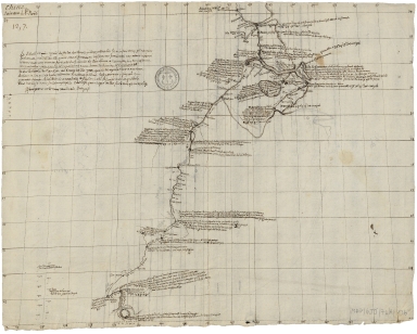
Route du voiage du S.r Nikiposa Moscovite de Moscou a Pekin avec des marchands [en 1685] ; Route du voiage du Moscovite Evesk o Petlin a la Chine en 1620.
Type
Manuscript
Barcode
3687800354482F
Title
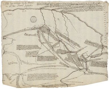
Tiré du voiage de la Chine du Pere Avril Jesuite.
Type
Manuscript
Barcode
3687800354483G
Title
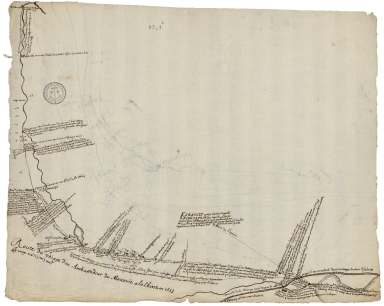
Route du voyage d'un Ambassadeur de Moscovie a la Chine en 1653 : le voiage a eté de 3 ans 5 mois.Route du voyage d'un Ambassadeur de Moscovie a la Chine en 1653 : le voiage a eté de 3 ans 5 mois.
Type
Manuscript
Barcode
3687800354485I
Title
Chine : suivant le P. Noël.
Type
Manuscript
Barcode
3687800354484H
Title
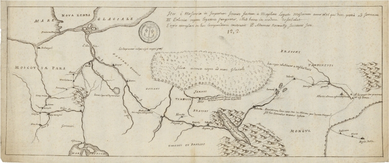
Iter é Moscovia in Imperium Sinense factum a Nicephoro legato Moscorum anno 1676 qui dum posséa ad Joannem III Coloniae regem legatione fungeretur, illud hune in modum deserib ebat. É regio exemplari in hoc compendium contraxit P. Adamus Kocanoky Societatis Jesu.
Type
Manuscript
Barcode
3687800354486J
Title
[River courses between Fou Tcheo and Nantchang Fou].
Type
Manuscript
Barcode
3687800354487K
Title
[Description of two charts].
Type
Manuscript
Barcode
3687800354489M
Title
Route du voyage de Canton a Peking.
Type
Manuscript
Barcode
3687800354491F
Title
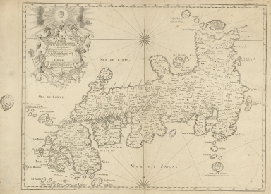
Carte de l'Empire du Japon : dressé sur les auteurs Japonois, sur les Memoires des Portugais et des Hollandois, et en particulier sur ceux des RRPP. de la Comp.e de Jesus
Contributor
[Bellin, Jacques-Nicolas, 1703-1772, cartographer, Dheulland, Guillaume, 17---ca. 1770, engraver]
Type
Printed
Barcode
3687800354492G
Title
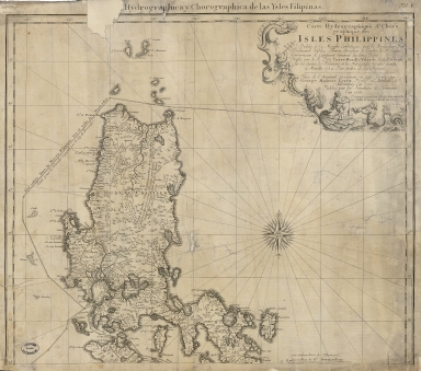
Carte hydrographique & chorographique des isles Philippines : dediée à Sa Majesté Catholique, par le Brigadier Don Ferdinand Valdes Tamon, Chevalier de l'ordre de S.t Jaques, Gouverneur & Capitaine Général des dites Isles, dressée par le R. Pere Pierre Murillo Velarde, de la C. de Gieusu sur les Cartes, les Rélations et les Navigations les plus exactes à Manille 1734 par ordre de Sa Majesté
Contributor
[Lowitz, Georg Moriz, 1722-1774, cartographer, Murillo Velarde, Pedro, 1696-1753, bibliografic antecedent, Bagay, Nicolás de la Cruz, 1701-1771, engraver, Valdés y Tamón, Fernando de, 1681-ca. 1741, dedicator, Charles III, King of Spain, 1716-1788, dedicatee, Homann Erben (Firm), publisher]
Type
Printed
Barcode
3687800354493H
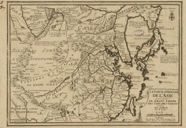
Title
La partie orientale de l'Asia ou se trouvent le grand Empire des Tartares Chinois et Celuy du Japon
Contributor
[Fer, Nicolás de, 1646-1720, cartographer, Inselin, Charles, fl. 1673-1715, engraver]
Type
Printed
Barcode
3687800354496K
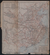
Title
Missionary map of China
Contributor
[Beach, Harlan Page, 1854-1933, cartographer, Servoss, R. D., publisher]
Type
Printed
Barcode
36878003545028
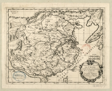
Title
Abbregé de la carte de la Chine du R.P. Michel Ruggiery Jesuiste
Contributor
[Sanson, Guillaume, 1633-1703, cartographer, Ruggieri, Michele, 1543-1607, bibliographic antecedent, Mariette, Pierre, 1634-1716, printer]
Type
Printed
Barcode
36878003545039
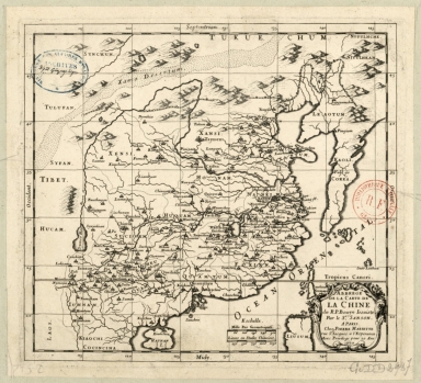
Title
Abbregé de la carte de la Chine du R.P. Bouyn, Jesuiste
Contributor
[Sanson, Guillaume, 1633-1703, cartographer, Boym, Michal, 1612-1659, bibliographic antecedent, Mariette, Pierre, 1634-1716, printer]
Type
Printed
Barcode
3687800354505B
Title
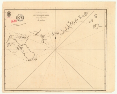
Chart of the southern coasts of the Islands between S.t Johns and the Ladrone taken on board the Nassau, Capt. Arthur Gore, and inscribed to Nathaniel Smith Esq.r
Contributor
[Larkins, John Pascal, 17---1794, cartographer, Dalrymple, Alexander, 1737-1808, publisher, Harrison, William, ca. 1750-1803, engraver, Smith, Nathaniel, 1730-1794, dedicatee]
Type
Printed
Barcode
3687800354504A
Title
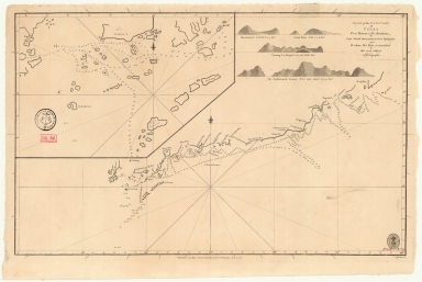
Chart of the south coast of China from Macao to The Brothers
Contributor
[Inverarity, David, 17---18--, cartographer, Dalrymple, Alexander, 1737-1808, editor, publisher, Harmer, Thomas, fl. 1784-1814, engraver]
Type
Printed
Barcode
3687800371217A
Title
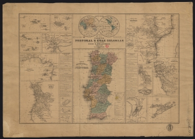
Carta de Portugal e suas colonias
Contributor
[Castelo Branco, Hugo Goodair de Lacerda, 1836-1930, author, Carvalho, Augusto Luís Nunes de, 1843-1909, lithographer, publisher]
Type
Printed
Barcode
3687800371218B
Title
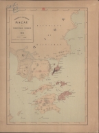
Macau e territorios visinhos
Contributor
[Portugal. Comissão de Cartografia das Colónias, author, publisher, Dinis, Miranda, 1858 -1943, lithographer]
Type
Printed
Barcode
3687800371237C
Title
Coast of China
Contributor
Arrowsmith, Aaron, 1750-1823, publisher
Type
Printed
Barcode
4687820501104
Title
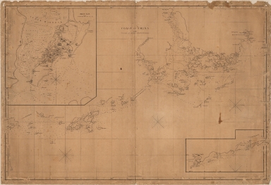
[Carte de la rivière de Canton]
Type
Manuscripts
Barcode
3687800371219C
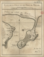
Title
Plan de la ville et du port de Macao
Contributor
Bellin, Jacques-Nicolas, 1703-1772, cartographer
Type
Printed
Barcode
3687800354506C
Title
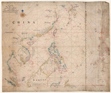
Map of the China Sea
Contributor
Blaeu, Joan, 1596-1673, cartographer
Type
Manuscripts
Barcode
4687820500399
Title
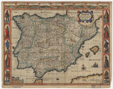
Spain : newly described, with many addictions, both in the attires of the people & the situations of their chiefest cities
Contributor
[Speed, John, ca. 1552-1629, cartographer, Humble, George, d. 1640, printer, bookseller]
Type
Printed
Barcode
3687800354513A
Title
Map of the coast of China and part of Formosa Island between 2.d and 30.d 30.m north latitude
Type
Manuscripts
Barcode
36878003545129
Title
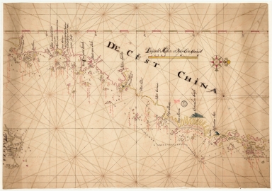
De Cust China
Type
Manuscripts
Barcode
36878003712068
Title
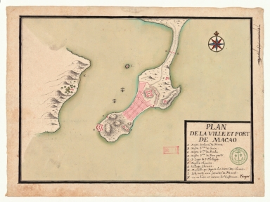
Plan de la ville et port de Macao
Contributor
Froger, François, 1676-1715, cartographer
Type
Manuscripts
Barcode
3687800354296I
Title
[Carte d'une partie de la côte de Cochinchine de Hué à Nha-Trang]
Type
Manuscripts
Barcode
3687800354089I
Title
[World chart]
Contributor
[Brouscon, Guillaume, fl. 15--, cartographer, Cossé, Artus de, 1512-1582, former owner]
Type
Manuscripts
Barcode
3687800354090A
Title
[Planisphère]
Contributor
Teixeira, Domingos, fl. 1565-1595, cartographer
Type
Manuscripts
Barcode
3687800354085E
Title
[Portolan chart]
Type
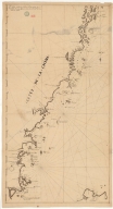
Manuscripts
Barcode
3687800301789H
Title
Sketch of a journey from Hang-Tchoo-Foo to Quang-Tchoo-Foo or Canton in China
Contributor
[Barrow, John, 1764-1848, cartographer, Baker, Benjamin, fl. 1780-1824, engraver, Nicol, George, 1740?-1828, publisher]
Type
Printed
Barcode
3687800354088H
Title
[Southeast China, Japan, East Indies (northern part)]
Contributor
[Dourado, Fernão Vaz, 1520-1580, cartographer, Huth, Henry, 1815–1878, former owner]
Type
Manuscripts
Barcode
36878003222424
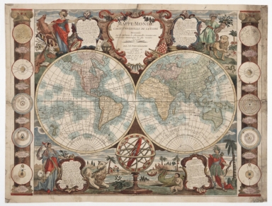
Title
Mappe-monde : carte universelle de la terre, dressée sur les relations les plus nouvelles, soumises aux observations astronomiques les plus recentes ou sont marquées les nouvelles découvertes
Contributor
[Nolin, Jean Baptiste, 1686-1762, cartographer, Denis, Louis, 1725-1794, editor, Basset, Paul-André, 1759-1829, printer]
Type
Manuscripts
Barcode
3687800239546I
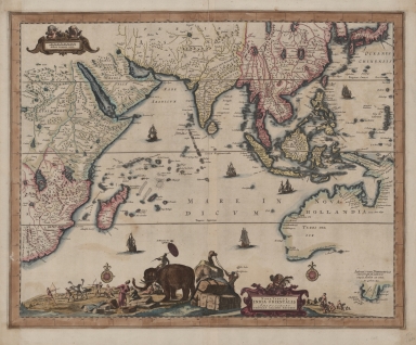
Title
Nova tabula India Orientalis
Contributor
Allard, Carel, 1648-ca. 1709, cartographer
Type
Printed
Barcode
36878003542036
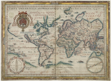
Title
Carte universelle hydrographique
Contributor
Guérard, Jean, 15---1640, cartographer
Type
Manuscripts
Barcode
36878003016649
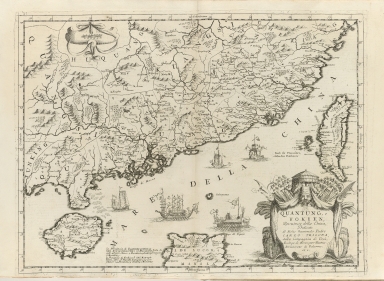
Title
Quantung, e Fokien : provincie della China
Contributor
Coronelli, Vincenzo, 1650-1718, cartographer
Type
Printed
Barcode
3687800317487J
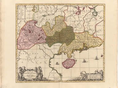
Title
Iunnan, Queicheu, Quangsi, et Quantung : provinciae Regni Sinensis, Praefecturae dictae, hoc est Meridiem inter et Occidentalis sitae
Contributor
[Valck, Gerard, 1626-1720, publisher, Schenk, Pieter, 1645-1715, publisher]
Type
Printed
Barcode
3687800301587D
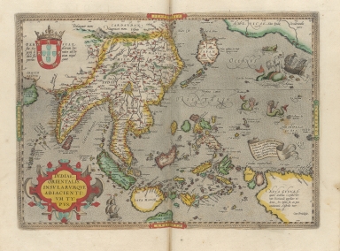
Title
A map of the East Indies and surrounding islands
Contributor
[Ortelius, Abraham, 1527-1598, author, Norton, John, 15---1612, printer]
Type
Printed
Barcode
3687800301586C
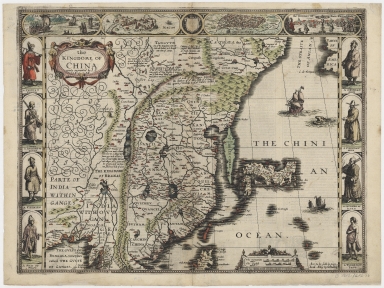
Title
The kingdom of China
Contributor
[Speed, John, ca. 1552-1629, cartographer, Dawson, John, d. 1634?, printer, Humble, George, 15---1640, bookseller]
Type
Printed
Barcode
3687800354095F
Title
Tabula geograph. in qua Europae, Africae, Asiaeq[ue] et circujacentium insularum orae maritimae accuratè describuntur et ad intelligentia navigationum Indicaru[m] accommodantu
Contributor
[Pontanus, Johannes Isacius, 1571-1639, cartographer, Hondius, Jodocus, 1563-1612, engraver, printer]
Type
Printed
Barcode
3687800285782L
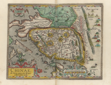
Title
A new representation of China, once called the region of the Chinese, by Ludovicus Georgius
Contributor
[Barbuda, Luís Jorge de, fl. 1575-1584, cartographer, Plantin, Christophe, ca.1520-1589, printer, Norton, John, 15---1612, printer]
Type
Printed
Barcode
3687800285591J
Title
Mappemonde ou Carte réduite des parties connues du globe pour servir au voyage de La Pérouse, fait dans les années 1785, 86, 87, et 88.
Contributor
[La Pérouse, Jean-François de Galaup, comte de, 1741-1788, cartographer, Imprimerie de la République (France), 1795-1804, printer]
Type
Printed
Barcode
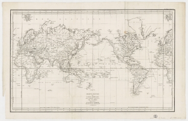
3687800317486I
Title
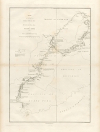
[Kaart van de kusten van Tonkin en Zuid-China]
Contributor
[Vinckeboons, Joan, 1617-1670, cartographer, Blaeu, Joan, 1596-1673, creator]
Type
Printed
Barcode
3687800301791A
Title
A chart, on Mercator's projection, containing the track and soundings of the Lion, the Hindostan and Tenders, from Turon-Bay in Cochin-China to the mouth of the Pei-Ho River in the Gulph of Pe-Tche-Lee or Pekin
Contributor
[Barrow, John, 1764-1848, cartographer, Baker, Benjamin, fl. 1780-1824, engraver, Nicol, George, ca. 1740-1828, publisher]
Type
Printed
Barcode
36878003222402
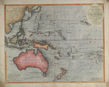
Title
Australien (Südland) auch Polynesien oder Inselwelt, insgemein der fünfte Welttheil genannt : nach den neuesten und bewährtesten Hülfsmitteln entworfen
Contributor
Walch, Johannes, 1757-1816, cartographer
Type
Printed
|
![Route du voiage du S.r Nikiposa Moscovite de Moscou a Pekin avec des marchands [en 1685] ; Route du voiage du Moscovite Evesk o Petlin a la Chine en 1620.](http://lunamap.must.edu.mo:80/MediaManager/srvr?mediafile=/Size2/MUST~2~2/350/3687800354481E%28CP_MAP_6JJ_74_A_pi%C3%83%C2%A8ce19_02%29.jpg)
![[River courses between Fou Tcheo and Nantchang Fou].](http://lunamap.must.edu.mo:80/MediaManager/srvr?mediafile=/Size1/MUST~2~2/350/3687800354486J%28CP_MAP_6JJ_74_A_pi%C3%83%C2%A8ce12B_02%29.jpg)
![[Description of two charts].](http://lunamap.must.edu.mo:80/MediaManager/srvr?mediafile=/Size1/MUST~2~2/350/3687800354487K%28CP_MAP_6JJ_74_A_pi%C3%83%C2%A8ce13C_02%29.jpg)

![[Asia map].](http://lunamap.must.edu.mo:80/MediaManager/srvr?mediafile=/Size2/MUST~2~2/350/3687800354494I%28CP_MAP_6JJ_74_A_pi%C3%83%C2%A8ce2_02%29.jpg)
![[Carte de la rivière de Canton]](http://lunamap.must.edu.mo:80/MediaManager/srvr?mediafile=/Size2/MUST~2~2/54/GE+SH+18+PF+179+DIV+9+P+5+Carte+de+la+riviere+de+Canton.jpg)
![[Carte d'une partie de la côte de Cochinchine de Hué à Nha-Trang]](http://lunamap.must.edu.mo:80/MediaManager/srvr?mediafile=/Size3/MUST~2~2/325/3687800354296I%2844-FRAN_2018_01312%29.jpg)
![[World chart]](http://lunamap.must.edu.mo:80/MediaManager/srvr?mediafile=/Size2/MUST~2~2/45/000502.jpg)
![[Planisphère]](http://lunamap.must.edu.mo:80/MediaManager/srvr?mediafile=/Size2/MUST~2~2/54/GE+SH+ARCH-3.jpg)
![[Portolan chart]](http://lunamap.must.edu.mo:80/MediaManager/srvr?mediafile=/Size2/MUST~2~2/45/000651.jpg)
![[Southeast China, Japan, East Indies (northern part)]](http://lunamap.must.edu.mo:80/MediaManager/srvr?mediafile=/Size2/MUST~2~2/45/000434.jpg)
![Tabula geograph. in qua Europae, Africae, Asiaeq[ue] et circujacentium insularum orae maritimae accuratè describuntur et ad intelligentia navigationum Indicaru[m] accommodantu](http://lunamap.must.edu.mo:80/MediaManager/srvr?mediafile=/Size2/MUST~2~2/35/MAP+RM+3289.jpg)
![[Kaart van de kusten van Tonkin en Zuid-China]](http://lunamap.must.edu.mo:80/MediaManager/srvr?mediafile=/Size2/MUST~2~2/40/00000007.jpg)
