WHERE
|
Barcode
4687820501246
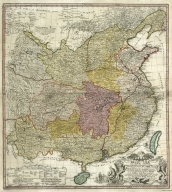
Title
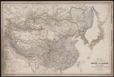
Karte von China und Japan : den manen D'Anville's und Klapproth's gewidmet
Contributor
[Mädel, Carl Joseph, fl. 1819-1859, engraver, Justus Perthes (Firm : Gotha, Germany), publisher]
Type
Printed
Barcode
4687820501165
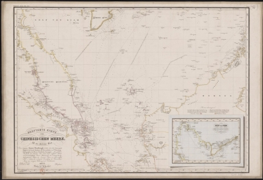
Title
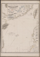
Reduced map of the Chinese Sea : 2nd sheet, containing the northern part
Contributor
[Jättnig, Wilhelm, fl. 1830-1839, engraver, Justus Perthes (Firm : Gotha, Germany), publisher]
Type
Printed
Barcode
3687800354274E
Title
Reduced map of the Chinese Sea : 1st or southern leaf. eng
Contributor
[Jäck, Wilhelm, fl. 1834, engraver, Brose, Wilhelm, fl. 1834, engraver, Horsburgh, James, 1762-1836, dedicatee, Justus Perthes (Firm : Gotha, Germany), publisher]
Type
Printed
Barcode
4687820500336
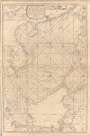
Title
A new chart of the China Sea, with its several entrances : drawn from a great number of draughts, journals, and other National documents, regulated by astronomical observations
Contributor
[Laurie & Whittle, author, publisher, Larkins, John Pascal, 17---1794, cartographer, Rees, Captain, cartographer]
Type
Printed
Barcode
3687800354267G
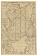
Title
A new chart of the China Sea, with its several entrances : drawn from a great number of draughts, journals, and other National documents, regulated by astronomical observation
Contributor
[Laurie & Whittle, author, publisher, Larkins, John Pascal, 17---1794, cartographer, Rees, Captain, cartographer]
Type
Printed
Barcode
3687800354265E
Title
Tracé des routes, vray et estimée, de la résolution depuis Macao jusqu'a Pulo Timon.
Type
Manuscripts
Barcode
4687820501172
Title
[Route de M. de Richery en 1787 de Pondichery a Canton]
Type
Manuscripts
Barcode
3687800354273D
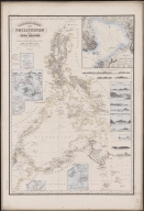
Title
Reduced map of the Philippines and Susu Islands.
Contributor
[Siebert, Selmar, 1808-1885, engraver, Justus Perthes (Firm : Gotha, Germany), publisher, Malaspina, Alessandro, 1754-1809, dedicatee, Espinosa y Tello, José, 1763-1815, dedicatee, Aragón y Abollado, Ildefonso de, ca. 1760-ca. 1835, dedicatee]
Type
Printed
Barcode
4687820501071
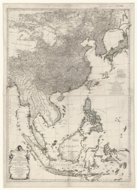
Title
Seconde partie de la carte d'Asie : contenant la Chine, et partie de la Tartarie, l'Inde au delà du Gange, les Isles Sumatra, Java, Borneo, Moluques, Philippines et du Japon. Publiée sous les auspices de Monseigneur Louis-Philippe D'Orléans, Duc D'Orléans, prémier Prince du Sang
Contributor
Anville, Jean Baptiste Bourguignon d', 1697-1782, cartographer
Type
Manuscripts
Barcode
4687820501015
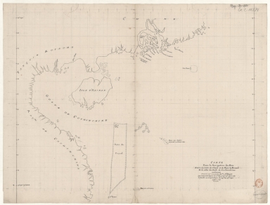
Title
Carte pour la navigation des mers entre les cotes de Chine et du Blanc le Paracel et de celles du Golfe de Cochinchine : dressée sur une carte MS.te a M.r Bouvet qui contenoit depuis le 2.e deg. jusq.' 24.e dont cette 1.ere feuille ne comprend que du 24.e au 13.e degré.
Contributor
Bouvet, 16---17--, bibliographic antecedent
Type
Manuscripts
Barcode
4687820501075
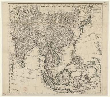
Title
Carte des Indes et de la Chine : dressée sur plusieurs relations particulières rectifiées par quelques observations
Contributor
[Delisle, Guillaume, 1675-1726, cartographer, publisher, Renard, Louis, ca. 1678-1746, publisher]
Type
Manuscripts
Barcode
4687820501177
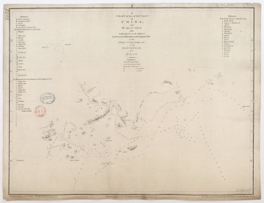
Title
A chart of part of the coast of China, and the adjacent islands from Pedro Blanco to the Mizen : laid down from observations made in 1759 and 1760, in the Schooner Cuddalore, and in the Ship London, 1764
Contributor
[Dalrymple, Alexander, 1737-1808, hydrographer, publisher, Henry, B., fl. 1770-1775, engraver, Lerpinière, Daniel, 1745-1785, engraver, Whitchurch, William, fl. 18th century, engraver, Lane, Bartholomew, fl. 19th century, engraver]
Type
Printed
Barcode
4687820501171
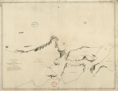
Title
Chart of the Strait of Solor : from a Portuguese ms used by the Portuguese of Macao in the navigation to Timor
Contributor
[Harmer, Thomas, fl. 1784-1814, engraver, Dalrymple, Alexander, 1737-1808, publisher]
Type
Printed
Barcode
4687820501086
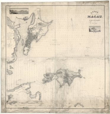
Title
China, Costa de Leste. Macau com as ilhas e costas adjacentes
Contributor
[Read, W.A., fl. 18--, cartographer, Palha, João Fradique de Moura, 1829-1908, engraver]
Type
Printed
Barcode
4687820501077
Title
Carte generale de la Chine : dressée sur les cartes particulieres que l'Empereur Cang-hi a fait lever sur les lieux par les RR. PP. Jesuites mission[n]aires dans cet Empire
Contributor
[Anville, Jean Baptiste Bourguignon d', 1697-1782, cartographer, Gravelot, Hubert-François, 1699-1773, illustrator, engraver, Delahaye, Jean Baptiste, fl. 1721-1723, engraver]
Type
Manuscripts
Barcode
4687820501078
Title
Carte generale de la Chine : dressée sur les cartes particulieres que l'Empereur Cang-hi a fait lever sur les lieux par les RR. PP. Jesuites mission[n]aires dans cet Empire
Contributor
[Anville, Jean Baptiste Bourguignon d', 1697-1782, cartographer, Gravelot, Hubert-François, 1699-1773, illustrator, engraver, Delahaye, Jean Baptiste, fl. 1721-1723, engraver]
Type
Printed
Barcode
4687820501236
Title
Map of China, and a description of the work of missionaries in China
Contributor
[Hase, Johann Matthias, 1684-1742, author, Anville, Jean Baptiste Bourguignon d', 1697-1782, bibliographic antecedent, Homann Erben (Firm), printer]
Type
Printed
Barcode
4687820501030
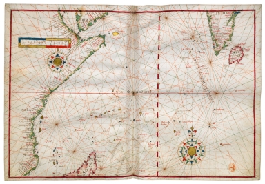
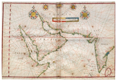
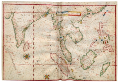
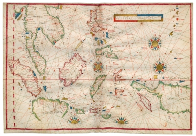
Title
[Carte de l'Océan Indien, des cotes de l'Afrique et de l'Asie depuis le cap de Bonne-Espérance jusqu'au Japon]
Contributor
Albernaz, João Teixeira, fl. 1602-1649, cartographer
Type
Manuscripts
Barcode
4687820501007
Title
[[Carte portugaise de la mer des Indes entre le Cap de Bonne Espérance et le Cap Comorin] ; [Carte portugaise de la mer qui comprend le Golfe du bengale, les côtes de la Chine et les îles du Japon, Philippines, de la Sonde et Moluques], [Carte portugaise de la mer qui comprend le Golfe du bengale, les côtes de la Chine et les îles du Japon, Philippines, de la Sonde et Moluques]]
Contributor
Albernaz, João Teixeira, fl. 1602-1649, cartographer
Type
Printed
Barcode
4687820501029
Title
[[Carte portugaise de la mer des Indes entre le Cap de Bonne Espérance et le Cap Comorin] ; [Carte portugaise de la mer qui comprend le Golfe du bengale, les côtes de la Chine et les îles du Japon, Philippines, de la Sonde et Moluques], [Carte portugaise de la mer des Indes entre le Cap de Bonne Espérance et le Cap Comorin]]
Contributor
Albernaz, João Teixeira, fl. 1602-1649, cartographer
Type
Printed
Barcode
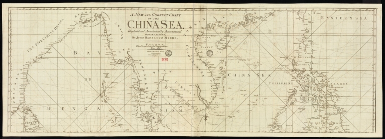
4687820501178
Title
A new and correct chart of the China Sea
Contributor
[Moore, John Hamilton, 1738-1807, cartographer, Blake, T. J., fl. 1785-1785, engraver]
Type
Printed
Barcode
4687820500965
Title
Carte du voyage des ambassadeurs de la Compagnie orientale des Provinces Unies, vers le Tartare empereur de la Chine, les années 1655, 1656 et 1657, tirée de celle de Jean Nieuhoff
Contributor
[Duval, Pierre,1619-1683, cartographer, Nieuhof, Johannes, 1618-1672, bibliographic antecedent]
Type
Printed
Barcode
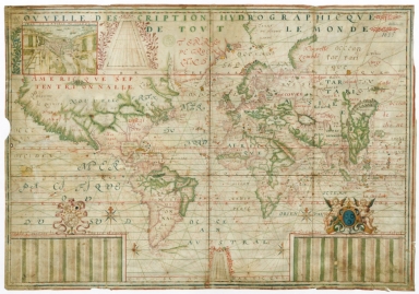
4687820501183
Title
Nouvelle description hydrographique de tout le monde
Contributor
[Guérard, Jean, 15---1640, cartographer, Lauzon, Jean de, 1584-1666, dedicatee]
Type
Manuscripts
Barcode
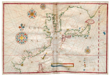
4687820500976
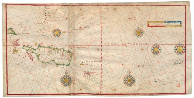
Title
North China Sea and West Pacific Ocean
Contributor
Albernaz, João Teixeira, fl. 1602-1649, cartographer
Type
Manuscripts
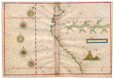
Barcode
4687820500973
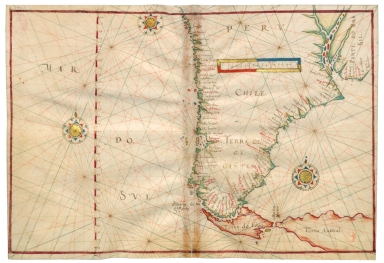
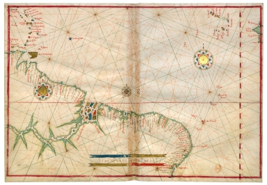
Title
Southeast Pacific Ocean and Southwest Atlantic Ocean
Contributor
[Albernaz, João Teixeira, fl. 1602-1649, cartographer, Berry, Marie-Caroline de Bourbon-Sicile, duchesse de, 1798-1870, former owner, Aunay, Jean-Charles de Mesgrigny d', comte, 1680-1763, former owner]
Type
Manuscripts
Barcode
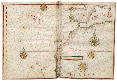
4687820500972
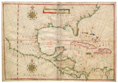
Title
East Pacific Ocean and West Atlantic Ocean
Contributor
[Albernaz, João Teixeira, fl. 1602-1649, cartographer, Berry, Marie-Caroline de Bourbon-Sicile, duchesse de, 1798-1870, former owner, Aunay, Jean-Charles de Mesgrigny d', comte, 1680-1763, former owner]
Type
Manuscripts
Barcode
4687820501001
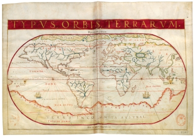
Title
Typus Orbis Terrarum
Contributor
[Albernaz, João Teixeira, fl. 1602-1649, cartographer, Berry, Marie-Caroline de Bourbon-Sicile, duchesse de, 1798-1870, former owner, Aunay, Jean-Charles de Mesgrigny d', comte, 1680-1763, former owner]
Type
Manuscripts
Barcode
4687820500979
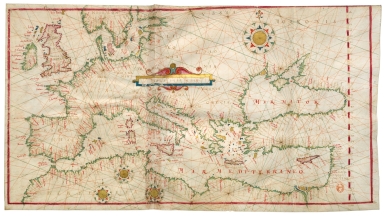
Title
North-East Atlantic Ocean, Mediterranean Sea and Black Sea
Contributor
[Albernaz, João Teixeira, fl. 1602-1649, cartographer, Berry, Marie-Caroline de Bourbon-Sicile, duchesse de, 1798-1870, former owner, Aunay, Jean-Charles de Mesgrigny d', comte, 1680-1763, former owner]
Type
Manuscripts
Barcode
4687820500978
Title
Eastern Atlantic Ocean and Western Mediterranean Sea
Contributor
[Albernaz, João Teixeira, fl. 1602-1649, cartographer, Berry, Marie-Caroline de Bourbon-Sicile, duchesse de, 1798-1870, former owner, Aunay, Jean-Charles de Mesgrigny d', comte, 1680-1763, former owner]
Type
Manuscripts
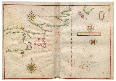
Barcode
4687820500975
Title
Northwest Atlantic Ocean
Contributor
[Albernaz, João Teixeira, fl. 1602-1649, cartographer, Berry, Marie-Caroline de Bourbon-Sicile, duchesse de, 1798-1870, former owner, Aunay, Jean-Charles de Mesgrigny d', comte, 1680-1763, former owner]
Type
Manuscripts
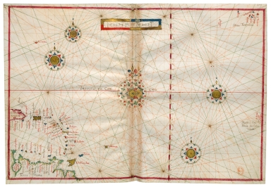
Barcode
4687820500968
Title
West Atlantic Ocean, Azores, Cape Verde Islands, Lesser Antilles
Contributor
[Albernaz, João Teixeira, fl. 1602-1649, cartographer, Berry, Marie-Caroline de Bourbon-Sicile, duchesse de, 1798-1870, former owner, Aunay, Jean-Charles de Mesgrigny d', comte, 1680-1763, former owner]
Type
Manuscripts
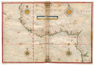
Barcode
4687820500977
Title
Eastern Atlantic Ocean
Contributor
[Albernaz, João Teixeira, fl. 1602-1649, cartographer, Berry, Marie-Caroline de Bourbon-Sicile, duchesse de, 1798-1870, former owner, Aunay, Jean-Charles de Mesgrigny d', comte, 1680-1763, former owner]
Type
Manuscripts
Barcode
4687820500967
Title
Central Atlantic Ocean
Contributor
[Albernaz, João Teixeira, fl. 1602-1649, cartographer, Berry, Marie-Caroline de Bourbon-Sicile, duchesse de, 1798-1870, former owner, Aunay, Jean-Charles de Mesgrigny d', comte, 1680-1763, former owner]
Type
Manuscripts
Barcode
4687820500969
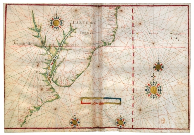
Title
South West Atlantic Ocean
Contributor
[Albernaz, João Teixeira, fl. 1602-1649, cartographer, Berry, Marie-Caroline de Bourbon-Sicile, duchesse de, 1798-1870, former owner, Aunay, Jean-Charles de Mesgrigny d', comte, 1680-1763, former owner]
Type
Manuscripts
Barcode
4687820500982
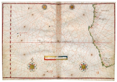
Title
South-East Atlantic Ocean
Contributor
[Albernaz, João Teixeira, fl. 1602-1649, cartographer, Berry, Marie-Caroline de Bourbon-Sicile, duchesse de, 1798-1870, former owner, Aunay, Jean-Charles de Mesgrigny d', comte, 1680-1763, former owner]
Type
Manuscripts
Barcode
4687820500971
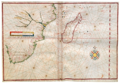
Title
South West Indian Ocean and South East Atlantic Ocean
Contributor
[Albernaz, João Teixeira, fl. 1602-1649, cartographer, Berry, Marie-Caroline de Bourbon-Sicile, duchesse de, 1798-1870, former owner, Aunay, Jean-Charles de Mesgrigny d', comte, 1680-1763, former owner]
Type
Manuscripts
Barcode
4687820500984
Title
West Indian Ocean
Contributor
[Albernaz, João Teixeira, fl. 1602-1649, cartographer, Berry, Marie-Caroline de Bourbon-Sicile, duchesse de, 1798-1870, former owner, Aunay, Jean-Charles de Mesgrigny d', comte, 1680-1763, former owner]
Type
Manuscripts
Barcode
4687820500983
Title
Northwest Indian Ocean
Contributor
[Albernaz, João Teixeira, fl. 1602-1649, cartographer, Berry, Marie-Caroline de Bourbon-Sicile, duchesse de, 1798-1870, former owner, Aunay, Jean-Charles de Mesgrigny d', comte, 1680-1763, former owner]
Type
Manuscripts
Barcode
4687820500981
Title
East Indian Ocean and China Sea
Contributor
Albernaz, João Teixeira, fl. 1602-1649, cartographer
Type
Manuscripts
Barcode
4687820500985
Title
China Sea and West Pacific Ocean
Contributor
[Albernaz, João Teixeira, fl. 1602-1649, cartographer, Berry, Marie-Caroline de Bourbon-Sicile, duchesse de, 1798-1870, former owner, Aunay, Jean-Charles de Mesgrigny d', comte, 1680-1763, former owner]
Type
Manuscripts
Barcode
4687820500980
Title
West Pacific Ocean
Contributor
[Albernaz, João Teixeira, fl. 1602-1649, cartographer, Berry, Marie-Caroline de Bourbon-Sicile, duchesse de, 1798-1870, former owner, Aunay, Jean-Charles de Mesgrigny d', comte, 1680-1763, former owner]
Type
Manuscripts
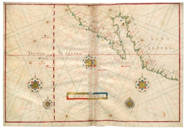
Barcode
4687820500974
Title
Northeast Pacific Ocean
Contributor
[Albernaz, João Teixeira, fl. 1602-1649, cartographer, Berry, Marie-Caroline de Bourbon-Sicile, duchesse de, 1798-1870, former owner, Aunay, Jean-Charles de Mesgrigny d', comte, 1680-1763, former owner]
Type
Manuscripts
Barcode
4687820500970
Title
Southeast Pacific Ocean
Contributor
[Albernaz, João Teixeira, fl. 1602-1649, cartographer, Berry, Marie-Caroline de Bourbon-Sicile, duchesse de, 1798-1870, former owner, Aunay, Jean-Charles de Mesgrigny d', comte, 1680-1763, former owner]
Type
Manuscripts
Barcode
4687820501093
Title
Neat outline of the Beijing river in China located in the Indian Sea
Type
Manuscripts
Barcode
4687820500284
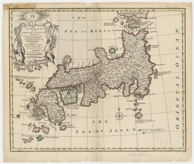
Title
A new and accurate map of the Empire of Japan : laid down from the memoirs of the Portuguese and Dutch, and particularly from the Jesuit missionaries, as publish'd by the Sr. Bellin at Paris, being adjusted by astronomical observat.ns
Contributor
Bowen, Emanuel, ca. 1693-1767, engraver
Type
Printed
Barcode
4687820500503
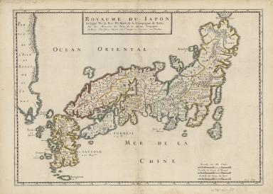
Title
Royaume du Japon
Contributor
[Briet, Philippe, 1601-1668, cartographer, Somer, Jean, fl. 1650-ca. 1663, engraver, Mariette, Pierre-Jean, 1694-1774, printer.]
Type
Printed
Barcode
4687820500360
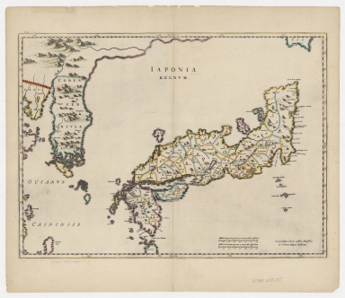
Title
Japonia Regnum
Contributor
Blaeu, Joan, 1596-1673, author, publisher
Type
Printed
Barcode
4687820500373
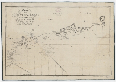
Title
Chart of the coast of China to the eastward of the great Ladrone
Contributor
[Ross, Daniel, 1780-1849, cartographer, Horsburgh, James, 1762-1836, publisher]
Type
Printed
Barcode
4687820500298
Title
Empire of Japan
Contributor
[Society for the Diffusion of Useful Knowledge (Great Britain), author, Kruzenshtern, Ivan Fedorovich, 1770-1846, bibliographic antecedent, Kaempfer, Engelbert, 1651-1716, bibliographic antecedent, J. & C. Walker (Firm), fl. 1820-1895, engraver, George Cox (Firm), publisher]
Type
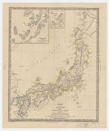
Printed
|
![[Route de M. de Richery en 1787 de Pondichery a Canton]](http://lunamap.must.edu.mo:80/MediaManager/srvr?mediafile=/Size2/MUST~2~2/54/GE+SH+18+PF+182+P+6+D_Routes+de+M+de+Richery+en+1787.jpg)
![Carte generale de la Chine : dressée sur les cartes particulieres que l'Empereur Cang-hi a fait lever sur les lieux par les RR. PP. Jesuites mission[n]aires dans cet Empire](http://lunamap.must.edu.mo:80/MediaManager/srvr?mediafile=/Size2/MUST~2~2/54/GE+C-8817.jpg)
![Carte generale de la Chine : dressée sur les cartes particulieres que l'Empereur Cang-hi a fait lever sur les lieux par les RR. PP. Jesuites mission[n]aires dans cet Empire](http://lunamap.must.edu.mo:80/MediaManager/srvr?mediafile=/Size2/MUST~2~2/54/GE+DD-2987+%287155+B%29.jpg)
![[Carte de l'Océan Indien, des cotes de l'Afrique et de l'Asie depuis le cap de Bonne-Espérance jusqu'au Japon]](http://lunamap.must.edu.mo:80/MediaManager/srvr?mediafile=/Size2/MUST~2~2/54/GE+SH+18+PF+213+DIV+3+P+2-2.jpg)
![[[Carte portugaise de la mer des Indes entre le Cap de Bonne Espérance et le Cap Comorin] ; [Carte portugaise de la mer qui comprend le Golfe du bengale, les côtes de la Chine et les îles du Japon, Philippines, de la Sonde et Moluques], [Carte portugaise de la mer qui comprend le Golfe du bengale, les côtes de la Chine et les îles du Japon, Philippines, de la Sonde et Moluques]]](http://lunamap.must.edu.mo:80/MediaManager/srvr?mediafile=/Size2/MUST~2~2/54/GE+DD-2987+Carte+portugaise+de+la+mer+des+Indes+-2+.jpg)
![[[Carte portugaise de la mer des Indes entre le Cap de Bonne Espérance et le Cap Comorin] ; [Carte portugaise de la mer qui comprend le Golfe du bengale, les côtes de la Chine et les îles du Japon, Philippines, de la Sonde et Moluques], [Carte portugaise de la mer des Indes entre le Cap de Bonne Espérance et le Cap Comorin]]](http://lunamap.must.edu.mo:80/MediaManager/srvr?mediafile=/Size1/MUST~2~2/54/GE+DD-2987+Carte+portugaise+de+la+mer+des+Indes+-1+.jpg)
