REMOVEWHEN |
REFINE
Browse All : Sea Charts and Printed by Reeves, John, 1774-1856, dedicatee and Dalrymple, Alexander, 1737-1808, bibliographic antecedent and Hoskiaer, Jacob, 1808-1836, cartographer and Ross, Daniel, 1780-1849, cartographer of Yellow Sea
1-1 of 1
Barcode
3687800285591J
Title
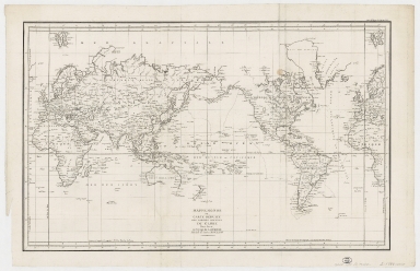
Mappemonde ou Carte réduite des parties connues du globe pour servir au voyage de La Pérouse, fait dans les années 1785, 86, 87, et 88.
Contributor
[La Pérouse, Jean-François de Galaup, comte de, 1741-1788, cartographer, Imprimerie de la République (France), 1795-1804, printer]
Type
Printed
1-1 of 1
|
