|
REFINE
Browse All : Sea Charts by Dayot, Félix, 1772-1821, cartographer and J. & C. Walker (Firm), engraver and Horsburgh, James, 1762-1836, author, publisher and Rees, John, 1752-18--, cartographer of East China Sea and Korea and Taiwan
1-1 of 1
Barcode
687800354127B
Title
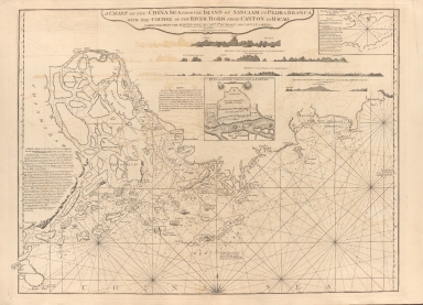
A chart of the China Sea from the Island of Sanciam to Pedra Branca with the course of the River Tigris from Canton to Macao
Contributor
[Après de Mannevillette, Jean-Baptiste-Nicolas-Denis d', 1707-1780, cartographer, Larkins, John Pascal, 17---1794, author, bibliographic antecedent, Anson, George Anson, baron, 1697-1762, author, Huddart, Joseph, 1741-1816, bibliographic antecedent]
Type
Printed
1-1 of 1
|
