|
REFINE
Browse All : Sea Charts and Printed by Henry, B., fl. 1770-1775, engraver and Après de Mannevillette, Jean-Baptiste-Nicolas-Denis d', 1707-1780, dedicatee and Whitchurch, William, fl. 18th century, engraver of China Sea and Southeast China from 1771
1-1 of 1
Barcode
3687800354505B
Title
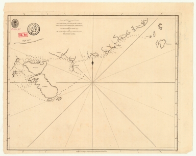
Chart of the southern coasts of the Islands between S.t Johns and the Ladrone taken on board the Nassau, Capt. Arthur Gore, and inscribed to Nathaniel Smith Esq.r
Contributor
[Larkins, John Pascal, 17---1794, cartographer, Dalrymple, Alexander, 1737-1808, publisher, Harrison, William, ca. 1750-1803, engraver, Smith, Nathaniel, 1730-1794, dedicatee]
Type
Printed
1-1 of 1
|