|
REFINE
Browse All : General Maps and Printed by Tavernier, Jean-Baptiste, 1605-1689, bibliographic antecedent and Cantelli, Giacomo, 1643-1695, cartographer and Rossi, Giovanni Giacomo de, 1627-1691, printer and Góis, Bento de, 1562-1607, bibliographic antecedent and Grueber, Johann, 1623-1680 bibliographic antecedent
1-1 of 1
Barcode
4687820501177
Title
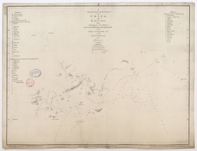
A chart of part of the coast of China, and the adjacent islands from Pedro Blanco to the Mizen : laid down from observations made in 1759 and 1760, in the Schooner Cuddalore, and in the Ship London, 1764
Contributor
[Dalrymple, Alexander, 1737-1808, hydrographer, publisher, Henry, B., fl. 1770-1775, engraver, Lerpinière, Daniel, 1745-1785, engraver, Whitchurch, William, fl. 18th century, engraver, Lane, Bartholomew, fl. 19th century, engraver]
Type
Printed
1-1 of 1
|