REFINE 

Browse All : Images of Taiwan and Guangdong Sheng (China)

1-4 of 4
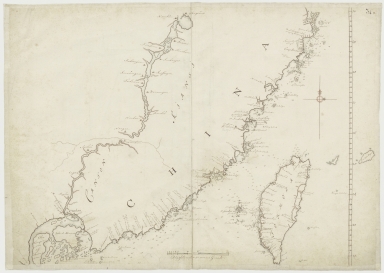
Kaart van een gedeelte der Chineese Zee en Kust, van Punta Lampa cao tot de Overveens Eilanden, het Eiland Formosa enz. Hierop komt mede voor de rivier van Canton, van den mond tot Fangsucis
4687820500578
Kaart van een gedeelte ...
Anonymous
Manuscripts
 
Barcode
4687820500578
Title
Kaart van een gedeelte der Chineese Zee en Kust, van Punta Lampa cao tot de Overveens Eilanden, het Eiland Formosa enz. Hierop komt mede voor de rivier van Canton, van den mond tot Fangsucis
Contributor
Anonymous
Type
Manuscripts
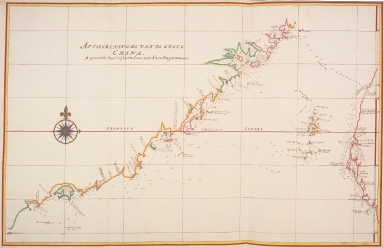
Map of the south east coast of China
4687820500083
Map of the south east c...
Vinckeboons, Joan
Printed
 
Barcode
4687820500083
Title
Map of the south east coast of China
Contributor
Vinckeboons, Joan
Type
Printed
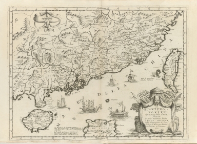
Quantung, e Fokien : provincie della China
36878003016649
Quantung, e Fokien : pr...
Coronelli, Vincenzo, 16...
Printed
 
Barcode
36878003016649
Title
Quantung, e Fokien : provincie della China
Contributor
Coronelli, Vincenzo, 1650-1718, cartographer
Type
Printed
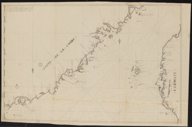
Carte de côte de la Chine depuis les 22.e jusqu'au 25.e 30.m de latitude nord comprenant la partie de Ouest de l'Isle Formose
3687800354261A
Carte de côte de la Chi...
Manuscripts
 
Barcode
3687800354261A
Title
Carte de côte de la Chine depuis les 22.e jusqu'au 25.e 30.m de latitude nord comprenant la partie de Ouest de l'Isle Formose
Type
Manuscripts
1-4 of 4