|
REFINE
Browse All : Images of South China Sea and Philippines and Taiwan and Borneo
1-5 of 5
Barcode
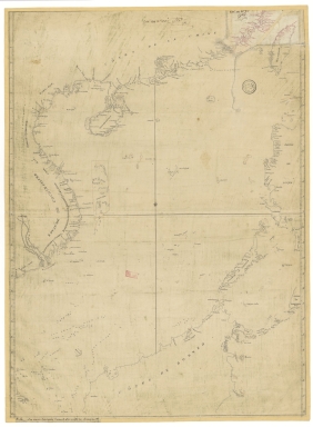
4687820500336
Title
A new chart of the China Sea, with its several entrances : drawn from a great number of draughts, journals, and other National documents, regulated by astronomical observations
Contributor
[Laurie & Whittle, author, publisher, Larkins, John Pascal, 17---1794, cartographer, Rees, Captain, cartographer]
Type
Printed
Barcode
3687800354267G
Title
A new chart of the China Sea, with its several entrances : drawn from a great number of draughts, journals, and other National documents, regulated by astronomical observation
Contributor
[Laurie & Whittle, author, publisher, Larkins, John Pascal, 17---1794, cartographer, Rees, Captain, cartographer]
Type
Printed
Barcode
4687820501071
Title
Seconde partie de la carte d'Asie : contenant la Chine, et partie de la Tartarie, l'Inde au delà du Gange, les Isles Sumatra, Java, Borneo, Moluques, Philippines et du Japon. Publiée sous les auspices de Monseigneur Louis-Philippe D'Orléans, Duc D'Orléans, prémier Prince du Sang
Contributor
Anville, Jean Baptiste Bourguignon d', 1697-1782, cartographer
Type
Manuscripts
Barcode
3687800354561D
Title
Map of the Chinese Sea and Coast, from Drioens Strait to Nanquin, and the Islands from Borneo to Japan and Ladrones
Contributor
Blaeu, Joan, 1650-1712, cartographer
Type
Manuscripts
1-5 of 5
|