REFINE 

Browse All : Images of Philippines and Japan and Korea and Hainan Island (China)

1-4 of 4
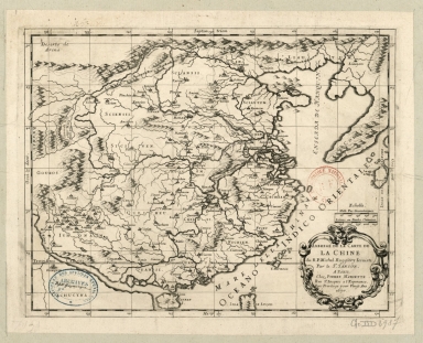
Abbregé de la carte de la Chine du R.P. Michel Ruggiery Jesuiste
36878003545028
Abbregé de la carte de ...
[Sanson, Guillaume, 163...
Printed
 
Barcode
36878003545028
Title
Abbregé de la carte de la Chine du R.P. Michel Ruggiery Jesuiste
Contributor
[Sanson, Guillaume, 1633-1703, cartographer, Ruggieri, Michele, 1543-1607, bibliographic antecedent, Mariette, Pierre, 1634-1716, printer]
Type
Printed
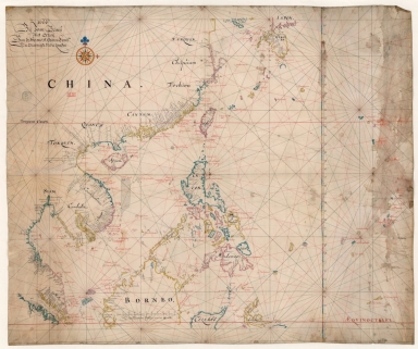
Map of the China Sea
3687800354506C
Map of the China Sea
Blaeu, Joan, 1596-1673,...
Manuscripts
 
Barcode
3687800354506C
Title
Map of the China Sea
Contributor
Blaeu, Joan, 1596-1673, cartographer
Type
Manuscripts
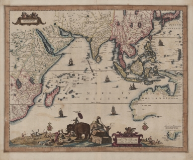
Nova tabula India Orientalis
3687800239546I
Nova tabula India Orien...
Allard, Carel, 1648-ca....
Printed
 
Barcode
3687800239546I
Title
Nova tabula India Orientalis
Contributor
Allard, Carel, 1648-ca. 1709, cartographer
Type
Printed
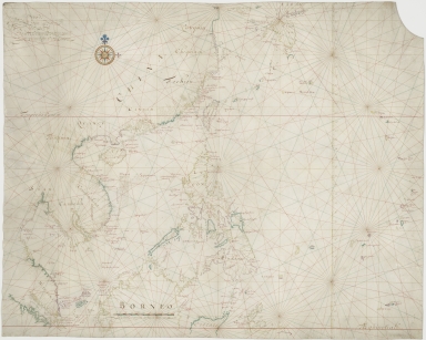
Map of the Chinese Sea and Coast, from Drioens Strait to Nanquin, and the Islands from Borneo to Japan and Ladrones
3687800354561D
Map of the Chinese Sea ...
Blaeu, Joan, 1650-1712,...
Manuscripts
 
Barcode
3687800354561D
Title
Map of the Chinese Sea and Coast, from Drioens Strait to Nanquin, and the Islands from Borneo to Japan and Ladrones
Contributor
Blaeu, Joan, 1650-1712, cartographer
Type
Manuscripts
1-4 of 4