WHERE
|
REFINE
Browse All : Images of Korea and Papua New Guinea and Indonesia and Paracel Islands
1-7 of 7
Barcode
3687800354436E
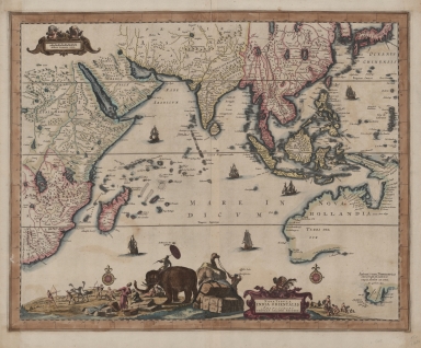
Title
The Eastern part of East Indies stretching from Ceylon to Japan and New Holland
Contributor
Doncker, Hendrick, 1626-1699, cartographer
Type
Printed
Barcode
3687800239546I
Title
Nova tabula India Orientalis
Contributor
Allard, Carel, 1648-ca. 1709, cartographer
Type
Printed
Barcode
36878003222402
Title
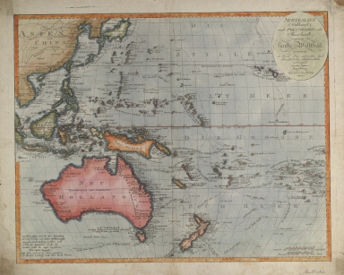
Australien (Südland) auch Polynesien oder Inselwelt, insgemein der fünfte Welttheil genannt : nach den neuesten und bewährtesten Hülfsmitteln entworfen
Contributor
Walch, Johannes, 1757-1816, cartographer
Type
Printed
Barcode
3687800239892M
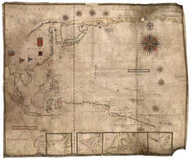
Title
[Asia]
Contributor
Albernaz, João Teixeira, fl. 1602-1649, cartographer
Type
Manuscripts
Barcode
3687800354648J
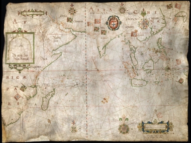
Title
Chart of the Pacific Ocean
Contributor
Albernaz, João Teixeira, I, fl. 1602-1649, cartographer
Type
Manuscripts
1-7 of 7
|
![[Asia map].](http://lunamap.must.edu.mo:80/MediaManager/srvr?mediafile=/Size2/MUST~2~2/350/3687800354494I%28CP_MAP_6JJ_74_A_pi%C3%83%C2%A8ce2_02%29.jpg)
![[Asia]](http://lunamap.must.edu.mo:80/MediaManager/srvr?mediafile=/Size2/MUST~2~2/41/G1015+.T4+1630-12.jpg)
