|
REFINE
Browse All : Images of Japan and Korea and Philippines and Asia
1-9 of 9
Barcode
3687800354648J
Title
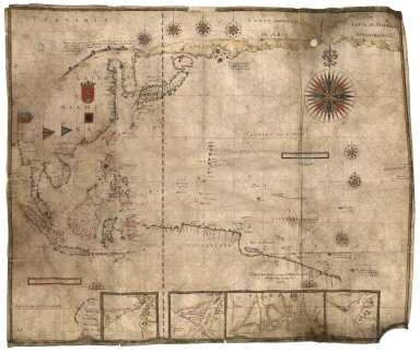
Chart of the Pacific Ocean
Contributor
Albernaz, João Teixeira, I, fl. 1602-1649, cartographer
Type
Manuscripts
Barcode
3687800354650C
Title
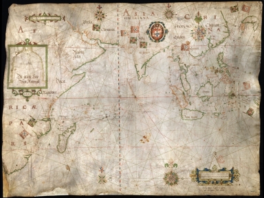
Nautical chart of the Indian Ocean and the Chinese seas
Contributor
Gijsbertsz, Evert, d. 1625, cartographer
Type
Manuscripts
Barcode
4687820500500
Title
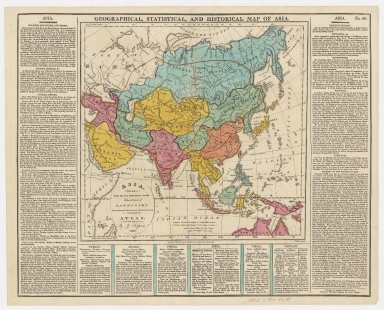
Asia, drawn from the best authorities : for the elucidation of Lavoisne's genealogical, historical, chronological, & geographical atlas
Contributor
Aspin, Jehoshaphat, active 18th century-19th century
Type
Printed
Barcode
4687820500853
Title
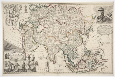
Asia Corrected, According to the latest Discoveries & Observations Communicated to the Royal Society of London and the Royal Academy of Paris.
Contributor
Bowel, Emanuel, d. 1757
Type
Printed
Barcode
4687820501071
Title
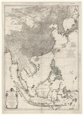
Seconde partie de la carte d'Asie : contenant la Chine, et partie de la Tartarie, l'Inde au delà du Gange, les Isles Sumatra, Java, Borneo, Moluques, Philippines et du Japon. Publiée sous les auspices de Monseigneur Louis-Philippe D'Orléans, Duc D'Orléans, prémier Prince du Sang
Contributor
Anville, Jean Baptiste Bourguignon d', 1697-1782, cartographer
Type
Manuscripts
Barcode
4687820501030
Title
[Carte de l'Océan Indien, des cotes de l'Afrique et de l'Asie depuis le cap de Bonne-Espérance jusqu'au Japon]
Contributor
Albernaz, João Teixeira, fl. 1602-1649, cartographer
Type
Manuscripts
Barcode
3687800354316B
Title
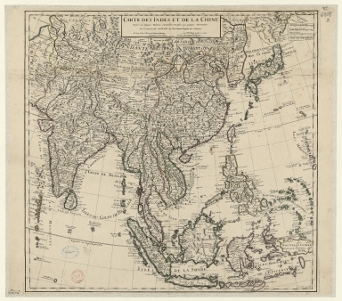
Carte des Indes et de la Chine : dressée sur plusieurs relations particulières rectifiées par quelques observations
Contributor
[Delisle, Guillaume, 1675-1726, publisher, Renard, Louis, ca. 1678-1746, publisher]
Type
Printed
Barcode
3687800239546I
Title
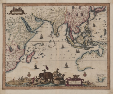
Nova tabula India Orientalis
Contributor
Allard, Carel, 1648-ca. 1709, cartographer
Type
Printed
1-9 of 9
|
![[Carte de l'Océan Indien, des cotes de l'Afrique et de l'Asie depuis le cap de Bonne-Espérance jusqu'au Japon]](http://lunamap.must.edu.mo:80/MediaManager/srvr?mediafile=/Size2/MUST~2~2/54/GE+SH+18+PF+213+DIV+3+P+2-2.jpg)
![[Asia]](http://lunamap.must.edu.mo:80/MediaManager/srvr?mediafile=/Size2/MUST~2~2/41/G1015+.T4+1630-12.jpg)