REFINE 

Browse All : Images of China and Philippines and Taiwan and Celebes Sea

1-2 of 2
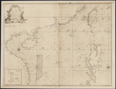
A new and correct chart of the coast of China : from latitude 12° north to 26° including Formosa, Hayman and the Philippine Islands.
3687800317471C
A new and correct chart...
W. and J. Mount, T. and...
Printed
 
Barcode
3687800317471C
Title
A new and correct chart of the coast of China : from latitude 12° north to 26° including Formosa, Hayman and the Philippine Islands.
Contributor
W. and J. Mount, T. and T. Page, 1747-1763, publisher, bookseller
Type
Printed
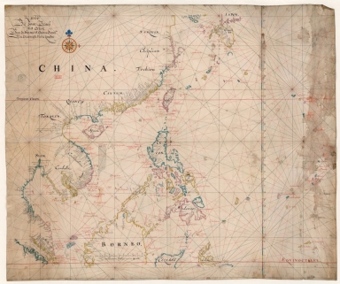
Map of the China Sea
3687800354506C
Map of the China Sea
Blaeu, Joan, 1596-1673,...
Manuscripts
 
Barcode
3687800354506C
Title
Map of the China Sea
Contributor
Blaeu, Joan, 1596-1673, cartographer
Type
Manuscripts
1-2 of 2