REMOVEWHATMore |
REFINE
Browse All : Images from 1780
1-5 of 5
Barcode
4687820500348
Title
Mapa que demuestra el derrotero q[ue] : hizo M. Cook en 1776, 1777, 1778, y 1779 en su tercero y ultimo viaje
Contributor
Anonymous
Type
Printed
Barcode
4687820500654
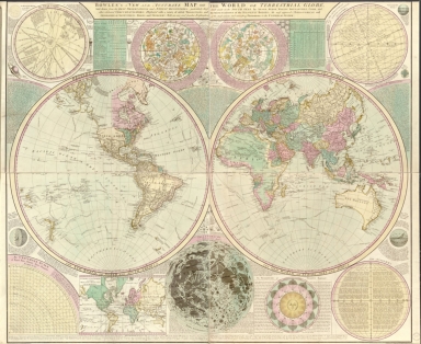
Title
Bowles's new and accurate map of the world, or Terrestrial globe : laid down from the best observations and newest discoveries particularly those lately made in the south seas by Anson, Byron, Wallis, Bouganville, Cook, and other celebrated circumnavigators, illustrated with a variety of useful projections and representations of the heavenly bodies the most approved astronomical and geographical definitions tables, and problems with an easy and familiar explanation of the most curious and interesting phoenomena in the universal system
Contributor
Bowles, Carington, 1724-1793
Type
Printed
Barcode
4687820500790
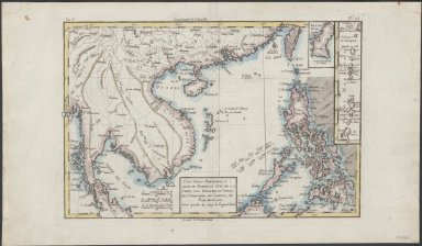
Title
Les isles Philippines, celle de Formose, le sud de la Chine, les royaumes de Tunkin, de Cochinchine, de Camboge, de Siam, des Laos, avec partie de ceux de Pegu et d'Ava
Contributor
Bonne, Rigobert, 1727-1794
Type
Manuscripts
Barcode
4687820500137
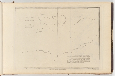
Title
Plan of the Typa near Macao in China
Contributor
Baker, George, 1781-1851, cartographer
Type
Printed
1-5 of 5
|
![Mapa que demuestra el derrotero q[ue] : hizo M. Cook en 1776, 1777, 1778, y 1779 en su tercero y ultimo viaje](http://lunamap.must.edu.mo:80/MediaManager/srvr?mediafile=/Size1/MUST~2~2/22/G9231_S12_1780_L5.jpg)


