|
REFINE
Browse All : Sea Charts of Zhejiang Sheng (China)
1-6 of 6
Barcode
4687820500203
Title
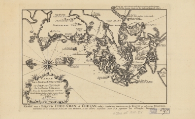
Carte de l'isle de Cheu-Chan, ou l'isle de Chusan, de la province de Che-kiang : avec les costes et isles voisines = Kaart van 't Eiland Cheu-Chan, of Chusan, onder 't Landschap Che-Kiang, met kusten en nabuurige Eilanden
Contributor
[Bellin, Jacques Nicolas, 1703-1772, Hondt, Pieter de, Schley, Jacobus van der, 1715-1779]
Type
Printed
Barcode
4687820501240
Title
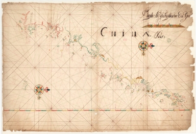
Chinae pars
Contributor
Anonymous
Type
Manuscripts
Barcode
4687820500578
Title
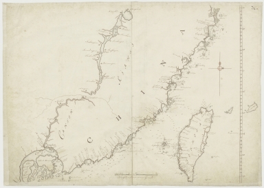
Kaart van een gedeelte der Chineese Zee en Kust, van Punta Lampa cao tot de Overveens Eilanden, het Eiland Formosa enz. Hierop komt mede voor de rivier van Canton, van den mond tot Fangsucis
Contributor
Anonymous
Type
Manuscripts
Barcode
3687800354513A
Title
Map of the coast of China and part of Formosa Island between 2.d and 30.d 30.m north latitude
Type
Manuscripts
Barcode
36878003545129
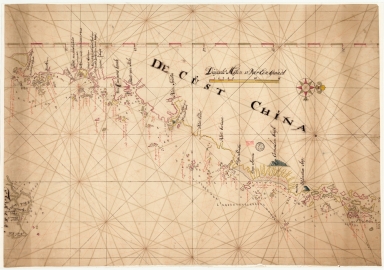
Title
De Cust China
Type
Manuscripts
1-6 of 6
|
![[Map of the southeast coast of China]](http://lunamap.must.edu.mo:80/MediaManager/srvr?mediafile=/Size2/MUST~2~2/54/SH+18+PF+181+P+16+D.jpg)