|
REFINE
Browse All : Sea Charts of Philippines and Southeast Asia and Vietnam and China
1-9 of 9
Barcode
3687800317483F
Title
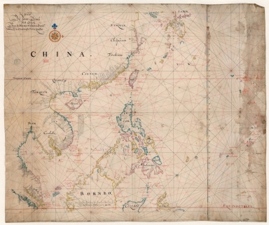
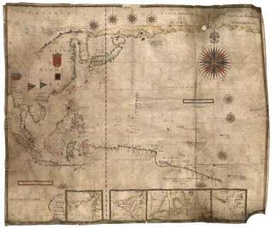
Dutch Chart of the China Sea
Type
Manuscripts
Barcode
4687820501175
Title
A chart of the China Sea : inscribed to Mons.r d'Aprés de Mannevillette the ingenious author of the Neptune Oriental, as a tribute due to his labours for the benefit of navigation, and in acknowledgment of his many signal favours to A. Dalrymple.
Contributor
[Dalrymple, Alexander, 1737-1808, hydrographer, Henry, B., fl. 1770-1775, engraver, Whitchurch, William, fl. 18th century, engraver, Lane, Bartholomew, fl. 19th century, engraver, Après de Mannevillette, Jean-Baptiste-Nicolas-Denis d', 1707-1780, dedicatee]
Type
Printed
Barcode
3687800301756B
Title
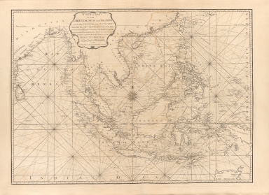
A new chart of the oriental seas and islands with the coasts of the continent from the Isle of Ceylon to Amoye in China
Contributor
[Après de Mannevillette, Jean-Baptiste-Nicolas-Denis d', 1707-1780, cartographer, Laurie & Whittle, publisher]
Type
Printed
Barcode
3687800354648J
Title
Chart of the Pacific Ocean
Contributor
Albernaz, João Teixeira, I, fl. 1602-1649, cartographer
Type
Manuscripts
Barcode
4687820500218
Title
A chart of the China Sea : inscribed to Mons.r D'Aprés de Mannevillette the ingenious author of the Neptune Oriental, as a tribute due to his labours for the benefit of Navigation, and in acknowledgement of his many signal favours to Dalrymple.
Contributor
[Dalrymple, Alexander, 1737-1808, hydrographer, Demonville, Antoine Guénard, ca. 1733-1797, printer, Malassis, Romain-Nicolas, 1737-1813, printer, Après de Mannevillette, Jean-Baptiste-Nicolas-Denis d', 1707-1780, dedicatee]
Type
Printed
Barcode
4687820501075
Title
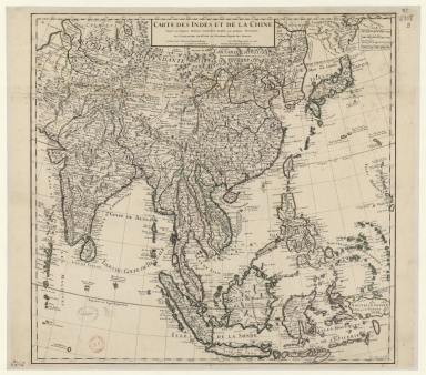
Carte des Indes et de la Chine : dressée sur plusieurs relations particulières rectifiées par quelques observations
Contributor
[Delisle, Guillaume, 1675-1726, cartographer, publisher, Renard, Louis, ca. 1678-1746, publisher]
Type
Manuscripts
Barcode
4687820501007
Title
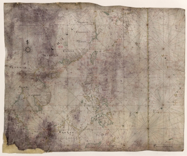
[[Carte portugaise de la mer des Indes entre le Cap de Bonne Espérance et le Cap Comorin] ; [Carte portugaise de la mer qui comprend le Golfe du bengale, les côtes de la Chine et les îles du Japon, Philippines, de la Sonde et Moluques], [Carte portugaise de la mer qui comprend le Golfe du bengale, les côtes de la Chine et les îles du Japon, Philippines, de la Sonde et Moluques]]
Contributor
Albernaz, João Teixeira, fl. 1602-1649, cartographer
Type
Printed
Barcode
36878003545017
Title
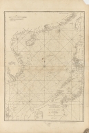
[Carte française de la Mer de Chine et du Golfe de Siam]
Type
Manuscripts
1-9 of 9
|
![[[Carte portugaise de la mer des Indes entre le Cap de Bonne Espérance et le Cap Comorin] ; [Carte portugaise de la mer qui comprend le Golfe du bengale, les côtes de la Chine et les îles du Japon, Philippines, de la Sonde et Moluques], [Carte portugaise de la mer qui comprend le Golfe du bengale, les côtes de la Chine et les îles du Japon, Philippines, de la Sonde et Moluques]]](http://lunamap.must.edu.mo:80/MediaManager/srvr?mediafile=/Size2/MUST~2~2/54/GE+DD-2987+Carte+portugaise+de+la+mer+des+Indes+-2+.jpg)
![[Carte française de la Mer de Chine et du Golfe de Siam]](http://lunamap.must.edu.mo:80/MediaManager/srvr?mediafile=/Size1/MUST~2~2/63/GE+SH+18+PF+181+P+9+RES+-+Carte+fran%C3%83%C2%A7aise+de+la+Mer+de+Chine+et+du+Golfe+de+Siam.jpg)
