|
REFINE
Browse All : Sea Charts of Paracel Islands and Hainan Sheng (China) and Taiwan and Malacca (Malacca, Malaysia) and Philippines and Cambodia
1-5 of 5
Barcode
36878003222312
Title
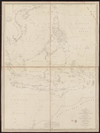
To the Society of Managing Owners of the Ships in the English East India Company's Service, This Chart of the China Sea, Including the Philippina Molluca and Banda Islands, Shewing al the same time all the Tracks into the Pacific Ocean, commonly known by the name of the Eastern Passage to China
Contributor
[Robertson, George, 1748-1788, cartographer, Harmer, Thomas, fl. 1784-1814, engraver]
Type
Printed
Barcode
4687820500336
Title
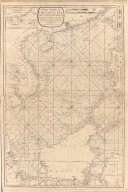
A new chart of the China Sea, with its several entrances : drawn from a great number of draughts, journals, and other National documents, regulated by astronomical observations
Contributor
[Laurie & Whittle, author, publisher, Larkins, John Pascal, 17---1794, cartographer, Rees, Captain, cartographer]
Type
Printed
Barcode
3687800354267G
Title
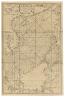
A new chart of the China Sea, with its several entrances : drawn from a great number of draughts, journals, and other National documents, regulated by astronomical observation
Contributor
[Laurie & Whittle, author, publisher, Larkins, John Pascal, 17---1794, cartographer, Rees, Captain, cartographer]
Type
Printed
Barcode
4687820501172
Title
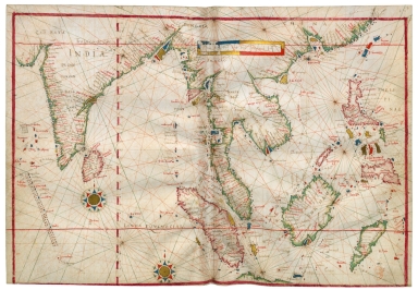
[Route de M. de Richery en 1787 de Pondichery a Canton]
Type
Manuscripts
1-5 of 5
|


![[Route de M. de Richery en 1787 de Pondichery a Canton]](http://lunamap.must.edu.mo:80/MediaManager/srvr?mediafile=/Size2/MUST~2~2/54/GE+SH+18+PF+182+P+6+D_Routes+de+M+de+Richery+en+1787.jpg)
