|
REFINE
Browse All : Sea Charts of Africa and North America and Europe
1-8 of 8
Barcode
3687800354089I
Title
[World chart]
Contributor
[Brouscon, Guillaume, fl. 15--, cartographer, Cossé, Artus de, 1512-1582, former owner]
Type
Manuscripts
Barcode
4687820500827
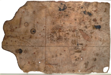
Title
Vesconte Maggiolo, Portolan Chart
Contributor
Maggiolo, Vesconte, active 1504-1549
Type
Manuscripts
Barcode
4687820500846
Title
Eastern coast of North America, South America, Atlantic Ocean, Europe ( including Scandinavia), Africa, the Near East
Contributor
Ghisolfi, Francesco
Type
Manuscripts
Barcode
4687820501085
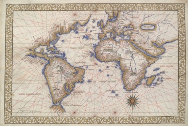
Title
[Carte nautique de l'Océan Atlantique, d'une partie de l'Océan Indien et d'une partie de l'Océan Pacifique]
Contributor
Lasso, Bartolomeu, fl. 1564-1590, dubious author
Type
Manuscripts
Barcode
4687820501183
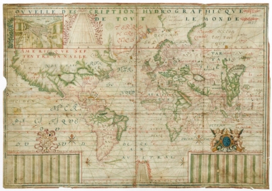
Title
Nouvelle description hydrographique de tout le monde
Contributor
[Guérard, Jean, 15---1640, cartographer, Lauzon, Jean de, 1584-1666, dedicatee]
Type
Manuscripts
Barcode
4687820501001
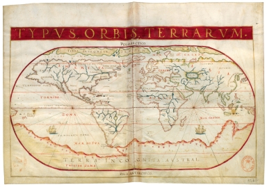
Title
Typus Orbis Terrarum
Contributor
[Albernaz, João Teixeira, fl. 1602-1649, cartographer, Berry, Marie-Caroline de Bourbon-Sicile, duchesse de, 1798-1870, former owner, Aunay, Jean-Charles de Mesgrigny d', comte, 1680-1763, former owner]
Type
Manuscripts
Barcode
3687800354090A
Title
[Planisphère]
Contributor
Teixeira, Domingos, fl. 1565-1595, cartographer
Type
Manuscripts
Barcode
3687800285591J
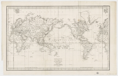
Title
Mappemonde ou Carte réduite des parties connues du globe pour servir au voyage de La Pérouse, fait dans les années 1785, 86, 87, et 88.
Contributor
[La Pérouse, Jean-François de Galaup, comte de, 1741-1788, cartographer, Imprimerie de la République (France), 1795-1804, printer]
Type
Printed
1-8 of 8
|
![[World chart]](http://lunamap.must.edu.mo:80/MediaManager/srvr?mediafile=/Size2/MUST~2~2/45/000502.jpg)
![[Carte nautique de l'Océan Atlantique, d'une partie de l'Océan Indien et d'une partie de l'Océan Pacifique]](http://lunamap.must.edu.mo:80/MediaManager/srvr?mediafile=/Size2/MUST~2~2/54/GE+B-1204%28RES%29.jpg)
![[Planisphère]](http://lunamap.must.edu.mo:80/MediaManager/srvr?mediafile=/Size2/MUST~2~2/54/GE+SH+ARCH-3.jpg)
