|
REFINE
Browse All : Sea Charts from 1781
1-2 of 2
Barcode
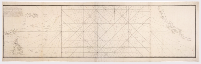
4687820500929
Title
Map of the Pacific Ocean between the coast of California and Mexico and Japan, Philippines, and the coast of China
Contributor
Anonymous
Type
Manuscripts
Barcode
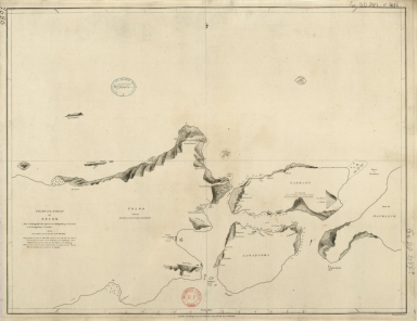
4687820501171
Title
Chart of the Strait of Solor : from a Portuguese ms used by the Portuguese of Macao in the navigation to Timor
Contributor
[Harmer, Thomas, fl. 1784-1814, engraver, Dalrymple, Alexander, 1737-1808, publisher]
Type
Printed
1-2 of 2
|