|
REFINE
Browse All : Sea Charts and Printed of Macao (China) and Hong Kong (China)
1-6 of 6
Barcode
4687820500211
Title
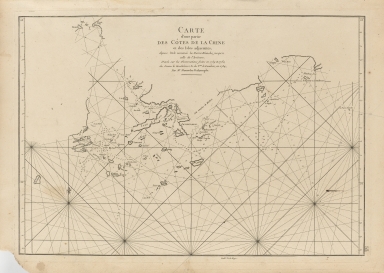
Carte d'une partie des côtes de la Chine et des Isles adjacentes : depuis l'Isle nommée la Pierre Blanche, jusqu'a celle de l'Artimon
Contributor
Dalrymple, Alexander, 1737-1808
Type
Printed
Barcode
4687820500574
Title
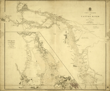
Chu-Kiang or Canton River from Boca Tigris to Canton
Type
Printed
Barcode
4687820500570
Title
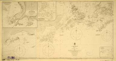
China. Sheet 1. Eastern Coast. From Hui Ling San Harbour to Hong Kong
Contributor
Great Britain. Admiralty, Hydrographic Office
Type
Printed
Barcode
4687820500572
Title
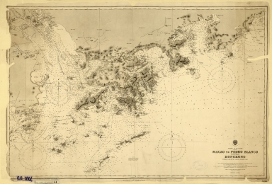
China. S.E. Coast. Macao to Pedro Blanco, including Hongkong
Contributor
Davies & Company
Type
Printed
Barcode
4687820501177
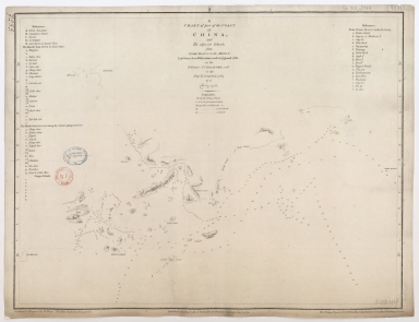
Title
A chart of part of the coast of China, and the adjacent islands from Pedro Blanco to the Mizen : laid down from observations made in 1759 and 1760, in the Schooner Cuddalore, and in the Ship London, 1764
Contributor
[Dalrymple, Alexander, 1737-1808, hydrographer, publisher, Henry, B., fl. 1770-1775, engraver, Lerpinière, Daniel, 1745-1785, engraver, Whitchurch, William, fl. 18th century, engraver, Lane, Bartholomew, fl. 19th century, engraver]
Type
Printed
Barcode
687800354127B
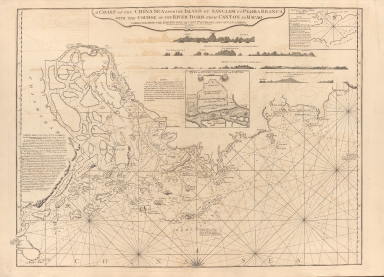
Title
A chart of the China Sea from the Island of Sanciam to Pedra Branca with the course of the River Tigris from Canton to Macao
Contributor
[Après de Mannevillette, Jean-Baptiste-Nicolas-Denis d', 1707-1780, cartographer, Larkins, John Pascal, 17---1794, author, bibliographic antecedent, Anson, George Anson, baron, 1697-1762, author, Huddart, Joseph, 1741-1816, bibliographic antecedent]
Type
Printed
1-6 of 6
|
