|
REFINE
Browse All : Sea Charts and Manuscripts and Nautical Chart
1-6 of 6
Barcode
3687800354085E
Title
[Portolan chart]
Type
Manuscripts
Barcode
3687800354308C
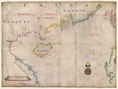
Title
Gulf of Tonkin to Luzon and Formosa
Contributor
Thornton, John, 1641-1708, hydrographer
Type
Manuscripts
Barcode
3687800354561D
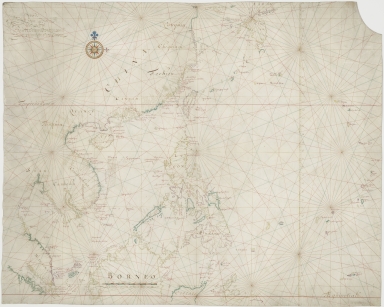
Title
Map of the Chinese Sea and Coast, from Drioens Strait to Nanquin, and the Islands from Borneo to Japan and Ladrones
Contributor
Blaeu, Joan, 1650-1712, cartographer
Type
Manuscripts
Barcode
3687800354648J
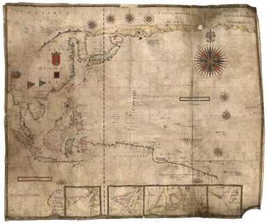
Title
Chart of the Pacific Ocean
Contributor
Albernaz, João Teixeira, I, fl. 1602-1649, cartographer
Type
Manuscripts
Barcode
3687800354665I
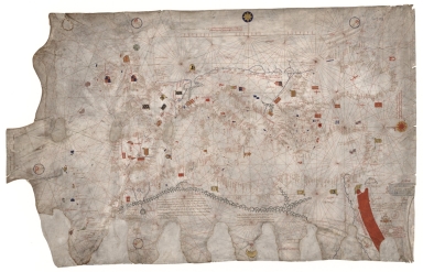
Title
Universa ac navigabilis totius terrarum orbis descriptio, cum omnibus portubus, ynsulis, fluviis, Promo[n]toriis, stationibus, angulis, ac sinibus, adicta certissima, tum latitudinis, tum longitudinis graduu[m] dimensione, ut nihil reliquum sit, quod ad yustum cosmographiae tractatum spectare videatur
Contributor
Homem, André, fl. 1559-1586, cartographer
Type
Manuscripts
1-6 of 6
|
![[Portolan chart]](http://lunamap.must.edu.mo:80/MediaManager/srvr?mediafile=/Size2/MUST~2~2/45/000651.jpg)


![Universa ac navigabilis totius terrarum orbis descriptio, cum omnibus portubus, ynsulis, fluviis, Promo[n]toriis, stationibus, angulis, ac sinibus, adicta certissima, tum latitudinis, tum longitudinis graduu[m] dimensione, ut nihil reliquum sit, quod ad yustum cosmographiae tractatum spectare videatur](http://lunamap.must.edu.mo:80/MediaManager/srvr?mediafile=/Size2/MUST~2~2/54/GE+CC-2719+-+RES+-+vue1.jpg)
