|
REFINE
Browse All : Printed and General Maps of East Indies
1-9 of 9
Barcode
4687820500250
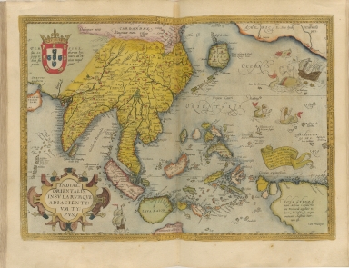
Title
Indiae orientalis insularumque adiacientium typus
Contributor
Ortelius, Abraham, 1527-1598
Type
Printed
Barcode
4687820500319
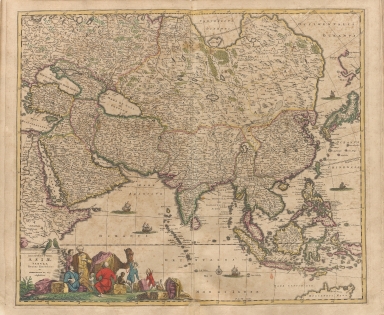
Title
Accuratissima totius Asiae tabula recens emendata
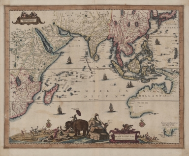
Contributor
Wit, Frederik de
Type
Printed
Barcode
4687820500396
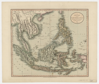
Title
A new map of the East India Isles from the latest authorities
Contributor
Cary, John, approximately 1754-1835
Type
Printed
Barcode
4687820500505
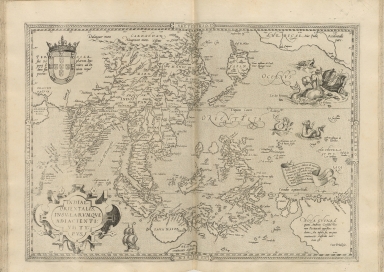
Title
Indiae orientalis, insularumque adiacientium typus
Contributor
Ortelius, Abraham, 1527-1598
Type
Printed
Barcode
4687820500526
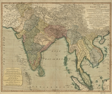
Title
A new general map of the East Indies : exhibiting in the Peninsula on this side of the Ganges, or Hindoostan, the several partitions of the Mogul's Empire ; and the dominions of the English East India Company in the provinces of Bengal, Bahar, Orixa, as well as upon the coasts of Malabar and Coromandel ; with the French and Dutch possessions according to the peace of 1783 : and in the peninsula beyond the Ganges, the kingdoms of Assam, Cashar, Aua, Aracan, Mien, Pegu, Siam, Lao and Cambodia, &c.
Contributor
[Jefferys, Thomas, -1771, Rennell, James, 1742-1830]
Type
Printed
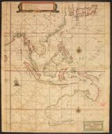
Barcode
3687800354436E
Title
The Eastern part of East Indies stretching from Ceylon to Japan and New Holland
Contributor
Doncker, Hendrick, 1626-1699, cartographer
Type
Printed
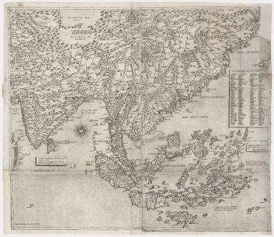
Barcode
4687820500479
Title
The Design of the Third Part of Asia
Contributor
[Gastaldi, Giacomo, ca. 1500-ca. 1565, cartographer, Licinius, Fabius, 1521-1565, engraver, Libraria di San Marco (Venice), bookseller, Fugger, Marcus, 1529-1597, dedicatee, Hauslab, Franz, Ritter von, 1798-1883, former owner, Liechtenstein, House of, former owner]
Type
Printed
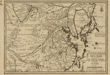
Barcode
3687800354493H
Title
La partie orientale de l'Asia ou se trouvent le grand Empire des Tartares Chinois et Celuy du Japon
Contributor
[Fer, Nicolás de, 1646-1720, cartographer, Inselin, Charles, fl. 1673-1715, engraver]
Type
Printed
1-9 of 9
|