|
REFINE
Browse All : Printed and General Maps of Asia and Southeast Asia
1-12 of 12
Barcode
4687820500240
Title
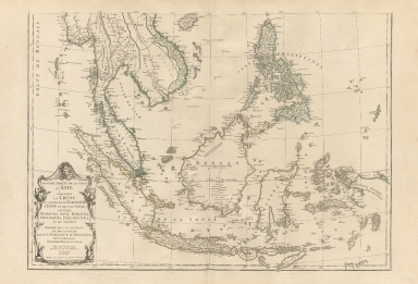
Seconde partie de la carte d'Asie, contenant la Chine et partie de la Tartarie, l'Inde au delà du Gange, les isles Sumatra, Java, Borneo, Moluques, Philippines et du Japon.Part 2
Contributor
Anville, Jean Baptiste Bourguignon d', 1697-1782
Type
Printed
Barcode
4687820500277
Title
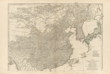
Seconde partie de la carte d'Asie, contenant la Chine et partie de la Tartarie, l'Inde au delà du Gange, les isles Sumatra, Java, Borneo, Moluques, Philippines et du Japon.Part 1
Contributor
Anville, Jean Baptiste Bourguignon d', 1697-1782
Type
Printed
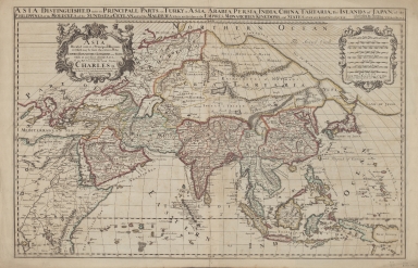
Barcode
4687820500319
Title
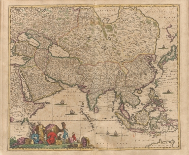
Accuratissima totius Asiae tabula recens emendata
Contributor
Wit, Frederik de
Type
Printed
Barcode
4687820500027
Title
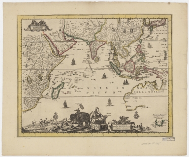
Nova tabula Indiae Orientalis
Contributor
Allard, Carel, 1648-approximately 1709
Type
Printed
Barcode
4687820500026
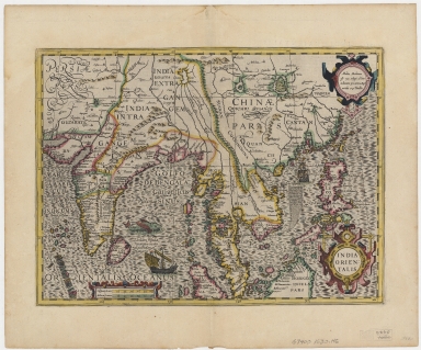
Title
India orientalis
Contributor
[Hondius, Jodocus, 1563-1612, Mercator, Gerhard, 1512-1594]
Type
Printed
Barcode
4687820500458
Title
Asie orientale : comprenant l'Empire Chinois et le Japon, les états de l'Indo-Chine et le grand archipel d'Asie
Contributor
Andriveau-Goujon, E. (Eugène), 1832-1897
Type
Printed
Barcode
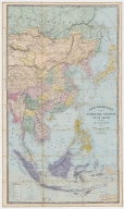
4687820500462
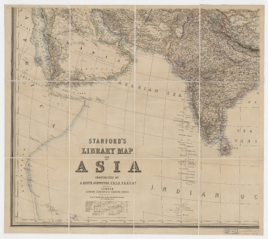
Title
Stanford's library map of Asia. Part 1
Contributor
[Johnston, Alexander Keith, 1804-1871, Stanford, Edward, 1827-1904]
Type
Printed
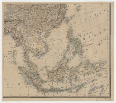
Barcode
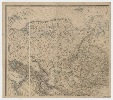
4687820500463
Title
Stanford's library map of Asia. Part 2
Contributor
[Johnston, Alexander Keith, 1804-1871, Stanford, Edward, 1827-1904]
Type
Printed
Barcode
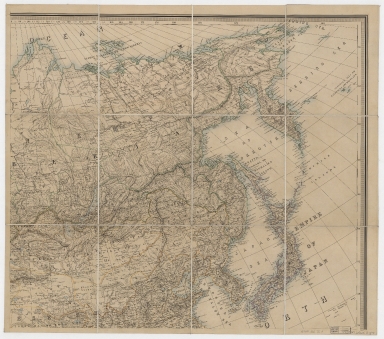
4687820500464
Title
Stanford's library map of Asia. Part 3
Contributor
[Johnston, Alexander Keith, 1804-1871, Stanford, Edward, 1827-1904]
Type
Printed
Barcode
4687820500465
Title
Stanford's library map of Asia. Part 4
Contributor
[Johnston, Alexander Keith, 1804-1871, Stanford, Edward, 1827-1904]
Type
Printed
Barcode
4687820500784
Title
Asia divided into its principall regions in which may be seen the extent of the empires, monarchies, kingdoms and states which at present divide Asia
Contributor
[Berry, William, active 1669-1708, Sanson, Nicolas, 1600-1667]
Type
Printed
Barcode
3687800354095F
Title
Tabula geograph. in qua Europae, Africae, Asiaeq[ue] et circujacentium insularum orae maritimae accuratè describuntur et ad intelligentia navigationum Indicaru[m] accommodantu
Contributor
[Pontanus, Johannes Isacius, 1571-1639, cartographer, Hondius, Jodocus, 1563-1612, engraver, printer]
Type
Printed
1-12 of 12
|
![Tabula geograph. in qua Europae, Africae, Asiaeq[ue] et circujacentium insularum orae maritimae accuratè describuntur et ad intelligentia navigationum Indicaru[m] accommodantu](http://lunamap.must.edu.mo:80/MediaManager/srvr?mediafile=/Size2/MUST~2~2/35/MAP+RM+3289.jpg)