|
REFINE
Browse All : Nautical charts and Sea Charts of Indonesia
1-5 of 5
Barcode
4687820500339
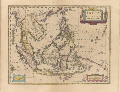
Title
Indiae Orientalis nova descriptio
Contributor
Jansson, Jan, 1588-1664
Type
Printed
Barcode
4687820500440
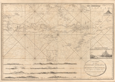
Title
A new chart of the Eastern Straits or the straits to the east of Java with a part of the Banda Sea
Contributor
Williams, Robert
Type
Printed
Barcode
4687820500785
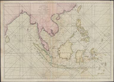
Title
A chart of the eastermost part of the East Indies from the island Zeloan to Amoy in China : with the adjacent islands adjusted according to the most accurate astronomical observations
Contributor
Seller, John, active 1658-1698
Type
Printed
Barcode
3687800239892M
Title
[Asia]
Contributor
Albernaz, João Teixeira, fl. 1602-1649, cartographer
Type
Manuscripts
Barcode
3687800301756B
Title
A new chart of the oriental seas and islands with the coasts of the continent from the Isle of Ceylon to Amoye in China
Contributor
[Après de Mannevillette, Jean-Baptiste-Nicolas-Denis d', 1707-1780, cartographer, Laurie & Whittle, publisher]
Type
Printed
1-5 of 5
|
![[Asia]](http://lunamap.must.edu.mo:80/MediaManager/srvr?mediafile=/Size2/MUST~2~2/41/G1015+.T4+1630-12.jpg)
