|
REFINE
Browse All : Sea Charts and Nautical Charts by Henry, B., fl. 1770-1775, engraver of Taiwan and Southeast Asia and Cambodia from 1771
1-2 of 2
Barcode
3687800354513A
Title
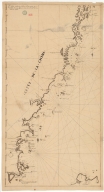
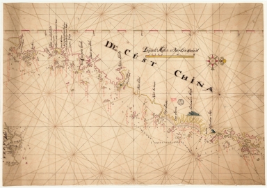
Map of the coast of China and part of Formosa Island between 2.d and 30.d 30.m north latitude
Type
Manuscripts
1-2 of 2
|