|
REFINE
Browse All : Europe -- Maps and Sea Charts of Africa
1-7 of 7
Barcode
4687820501059
Title
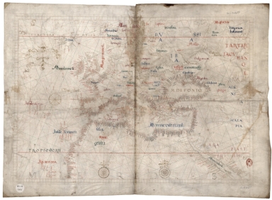
Universa ac navigabilis to / tius terrarum orbis descrip /tio, cum omnibus por /tubus, Ynsulis, fluviis, Promō /toriis, stationibus, Angulis, ac /sinibus, adicta certissima, tum / Latitudinis, tum longitudinis graduū /dimensione, ut nihil reliquum sit, quod ad / Yustum cosmographiae tractatum spectare videatur / Andreas Homo /cosmographus /luzitanus me / faciebat Antver /piae anno milles /simo quingentessi /mo quinquagessimo, nono
Contributor
[Homem, Andreas, Faleiro, Francisco]
Type
Manuscripts
Barcode
4687820500885
Title
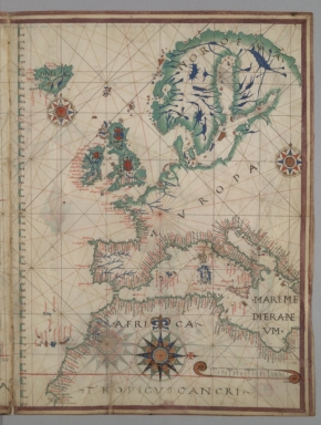
Western and central Europe (including Iceland and Scandinavia) and north-west Africa
Contributor
Bartolomeu Velho
Type
Manuscripts
Barcode
4687820500919
Title
Northeastern Atlantic Ocean, including western Europe and northwestern Africa
Contributor
Joao Martines
Type
Manuscripts
Barcode
4687820500939
Title
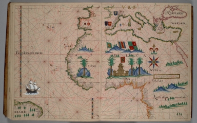
Northwest Africa, Mediterranean area, southern Europe
Contributor
Anonymous
Type
Manuscripts
Barcode
4687820501062
Title
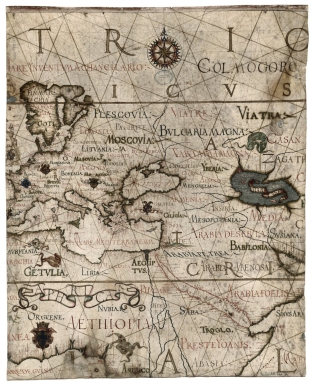
[Mappemonde]
Contributor
[Ptolemy, ca. 90-ca. 168, author, Jan van Kriekenborch, fl. ca. 1485-1514, cartographer, illuminator, D'Angelo, Jacopo, $$d ca. 1360-ca. 1410, translator]
Type
Manuscripts
Barcode
4687820501012
Title
[Indian Ocean from the Cape of Good Hope to Banda and from the Black Sea to Japan, Arabia, Persia, India, Indo-china and Insulinde, South China, Japan]
Contributor
Angelus, author
Type
Manuscripts
1-7 of 7
|
![[Mappemonde]](http://lunamap.must.edu.mo:80/MediaManager/srvr?mediafile=/Size2/MUST~2~2/54/LATIN+4804+FOL.103V-104.jpg)
![[Indian Ocean from the Cape of Good Hope to Banda and from the Black Sea to Japan, Arabia, Persia, India, Indo-china and Insulinde, South China, Japan]](http://lunamap.must.edu.mo:80/MediaManager/srvr?mediafile=/Size2/MUST~2~2/54/FRANCAIS+9669+-+fol+8v-9.jpg)
