|
REFINE
Browse All : China -- Maps of Korea and Japan
1-6 of 6
Barcode
4687820500852
Title
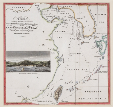
Chart shewing the track & discoveries of his Majesty's ships Alceste & Lyra, in the Eastern & Yellow Seas, with the adjacent parts from the best authorities.
Contributor
[Murray, John, 1778-1843, author, printer, Dwarris, Fortunatus, Sir, 1786-1860, illustrator]
Type
Printed
Barcode
4687820501105
Title
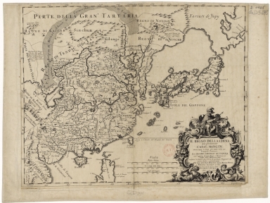
Il regno della China detto presentemente Catay, e Mangin, diviso sopra le Carte piú esatte nelle sue Principle Provincie
Contributor
[Cantelli, Giacomo, 1643-1695, cartographer, Grueber, Johann, 1623-1680 bibliographic antecedent, Góis, Bento de, 1562-1607, bibliographic antecedent, Martini, Martino, 1614-1661, bibliographic antecedent, Tavernier, Jean-Baptiste, 1605-1689, bibliographic antecedent, Widman, Georgio, fl. 1705, engraver, Rossi, Giovanni Giacomo de, 1627-1691, printer]
Type
Printed
Barcode
3687800354506C
Title
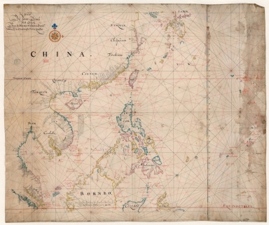
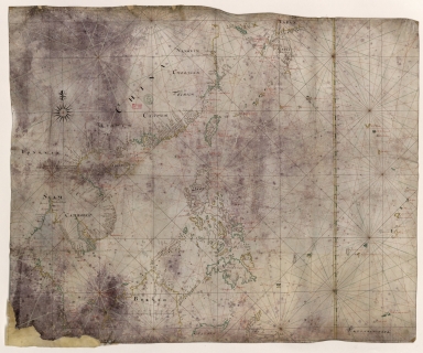
Map of the China Sea
Contributor
Blaeu, Joan, 1596-1673, cartographer
Type
Manuscripts
Barcode
3687800354508E
Title
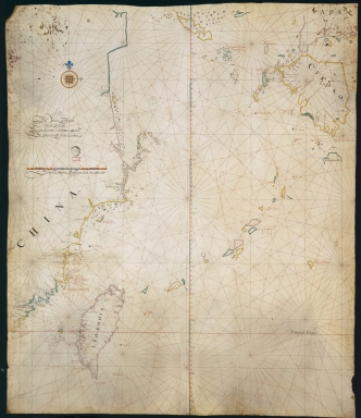
Map of the coasts of China and neighboring islands with some additions
Contributor
Anville, Jean Baptiste Bourguignon d', 1697-1782, cartographer
Type
Manuscripts
Barcode
3687800317483F
Title
Dutch Chart of the China Sea
Type
Manuscripts
1-6 of 6
|
