Detail View: Old Maps Collection: 大清分省輿圖封面 = Cover : Provincial atlas of the great Qing Dynasty
|
Barcode:
|
4687820500770
|
|
Title:
|
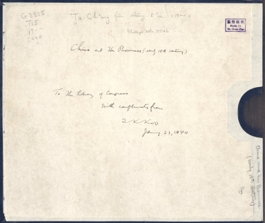
大清分省輿圖封面 = Cover : Provincial atlas of the great Qing Dynasty
|
|
Original Title:
|
N/A
|
|
Contributor:
|
Anonymous
|
|
Category:
|
General Maps
|
|
Type:
|
Manuscripts
|
|
Language:
|
Chinese
|
|
Create Year:
|
1754-1760
|
|
Format:
|
JPEG2000, 5280 × 4534, 3.9MB
|
|
Scale:
|
Scale not given
|
|
Physical Map Dimension (cm):
|
30 × 35
|
|
Note:
|
"和順齋製, made by Ho Shun Chai".
|
|
Subject:
|
Administrative and political divisions
|
|
Pub Title:
|
大清分省輿圖 = Provincial atlas of the great Qing Dynasty
|
|
Pub Author:
|
Anonymous
|
|
Pub Year:
|
1754-1760
|
|
Provenance:
|
Library of Congress Map Collections
|